Old Maps of Roscommon Township, Michigan for Academic Research
Study the evolution of Roscommon Township with 36 high-resolution historic maps. Whether you're teaching, researching, or modeling changes in land use, these maps provide essential visual documentation of urban, environmental, and geographic change.
- Analyze long-term change: Track patterns in development, transportation, and natural features.
- Ideal for environmental or urban studies: Support academic projects with primary historical map data.
- Use in the classroom or lab: Educators and researchers rely on these maps to bring historical context to life.
These maps are a powerful tool for teaching, research, and visualizing how Roscommon Township has changed over the decades.
Roscommon Township, MI maps
(36)- 1954 Map of Traverse City, 1965 Print
 1954 Traverse City1965 Print · USGSNorthern Michigan’s vast lakeshores and timberlands are captured here in the mid-fifties, showing the region before the modern interstate era. Genealogists and researchers can trace rail connections like the Detroit and Mackinac RR or find old communities such as Suttons Bay, Elk Rapids, and Prudenville.4 unique versions available
 - 1956 Map of Houghton Lake, 1958 Print
 1956 Houghton Lake1958 Print · USGSHoughton Lake and its surrounding marshlands are shown here in the mid-fifties, just as tourism and conservation efforts were reshaping the region. Genealogists can trace family names at Star City Cem and Butterfield Cem or locate the site of the Anderson Sch (Abandoned).3 unique versions available
 - 1957 Map of Harrison, 1958 Print
 1957 Harrison1958 Print · USGSHarrison and the Houghton Lake State Forest appear here in the late fifties, showcasing a region of timber, oil, and quiet lakeside settlements. Researchers can trace rural life through the Latter Day Saints Ch, Summerfield Cem, and the old Doty Sch.2 unique versions available
 - 1958 Map of Traverse City
 1958 Traverse City1958 Print · USGSNorthern Lower Michigan was a landscape of vast state forests and burgeoning lakeside retreats in the late fifties. Genealogists and historians can trace the rail corridors of the Ann Arbor RR and find established settlements from Elk Rapids to Houghton Lake.2 unique versions available
 - 1963 Map of Prudenville, 1964 Print
 1963 Prudenville1964 Print · USGSPrudenville and the southeastern shores of Houghton Lake are captured here during the mid-1960s, showing a landscape of lakeside growth and forest preserves. Genealogists and researchers can locate family sites near Prudenville Cem, Lake James, and the North Shore Sch.2 unique versions available
 - 1969 Map of Meredith NW, 1971 Print
 1969 Meredith NW1971 Print · USGSThe Roscommon and Clare county line was a quiet landscape of forest and water in the late sixties. Researchers can trace the legacy of Michigan logging and industry via the Old Railroad Grade, the Meredith Grade, and the Headquarters Oil and Gas Field Road.2 unique versions available
 - 1969 Map of Meredith, 1971 Print
 1969 Meredith1971 Print · USGSThe woodlands around Meredith were a nexus of state forest lands and glacial lakes in the late 1960s. Researchers can trace early roads and local landmarks like the Meredith Drive-in Theater, Hoister Lake, and the winding Sugar River.2 unique versions available
 - 1983 Map of Houghton Lake, 1984 Print
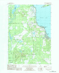 1983 Houghton Lake1984 Print · USGSHoughton Lake and its surrounding wetlands are shown in detail during the early 1980s as the area balanced recreation with state forest management. Researchers can trace local development in Houghton Lake Heights, find the Township Cem, or locate the inland settlement of Nellsville.2 unique versions available
 - 1983 Map of Houghton Lake, 1984 Print
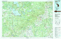 1983 Houghton Lake1984 Print · USGSIn the early 1980s, the Michigan heartland around Houghton Lake was a patchwork of state forest and growing lakeside resorts. Genealogists and historians can trace the development of communities like West Branch and Rose City alongside landmarks like Roscommon County Airfield.
 - 1983 Map of Cooperton, 1984 Print
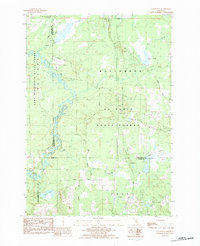 1983 Cooperton1984 Print · USGSThe Muskegon River oxbows through the Michigan timberlands in the early eighties, marking the intersection of the Missaukee, Roscommon, and Clare county lines. Researchers can trace forest development near Cooperton and locate remote sites like Wraco Lodge Lake and the Bear Creek Dam.
 - 1989 Map of Traverse City, 1990 Print
 1989 Traverse City1990 Print · USGSNorthern Michigan’s lake-country and forest lands are captured in the late eighties as seasonal tourism and timber hubs expanded. Genealogists and historians can trace the routes of the Ann Arbor RR, the boundaries of Camp Grayling, and settlements like Elk Rapids and Manton.
 - 2011 Map of Prudenville, 2011 Print
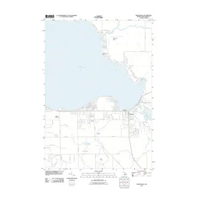 2011 Prudenville2011 Print · USGSThe southeastern shores of Houghton Lake are captured here in the early twenty-first century as the area transitioned into a year-round community. Researchers can trace local landmarks like Prudenville Cemetery, Roscommon County Airport, and the grounds of Camp Co Be Ac.
 - 2011 Map of Houghton Lake, 2011 Print
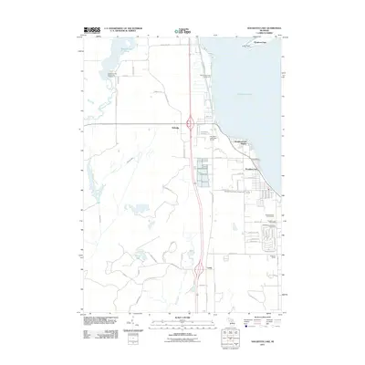 2011 Houghton Lake2011 Print · USGSHoughton Lake's western shoreline and the surrounding lowlands are captured here in the early twenty-first century. Researchers can trace local history through the Roscommon Township Cemetery, Anderson School, and the Houghton Lake Post Office.
 - 2011 Map of Cooperton, 2011 Print
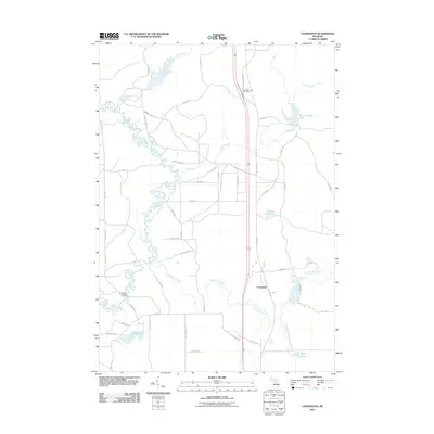 2011 Cooperton2011 Print · USGSFrost Township in the early twenty-first century is defined by the winding Muskegon River and the small settlement of Cooperton. Researchers can trace old family road names and locate landmarks like the Jonesville Bridge and Wraco Lodge Lake.
 - 2011 Map of Meredith NW, 2011 Print
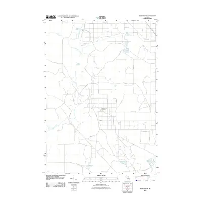 2011 Meredith NW2011 Print · USGSDenton Township's wooded interior is shown here in the early twenty-first century, defined by its active energy industry and numerous glacial lakes. Trace local routes to the Headquarters Oil and Gas Field, Nokomis Camp, and isolated waters like Rollway Lake.
 - 2011 Map of Meredith, 2011 Print
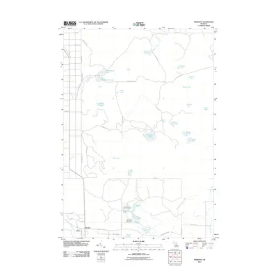 2011 Meredith2011 Print · USGSThe Gladwin County backcountry comes into focus here during the early twenty-first century, showing a landscape defined by glacial lakes and state forest land. Researchers can locate the Meredith Cemetery and trace recreational sites like the House Lake State Forest Campground and Rollway Lake.
 - 2014 Map of Prudenville, 2014 Print
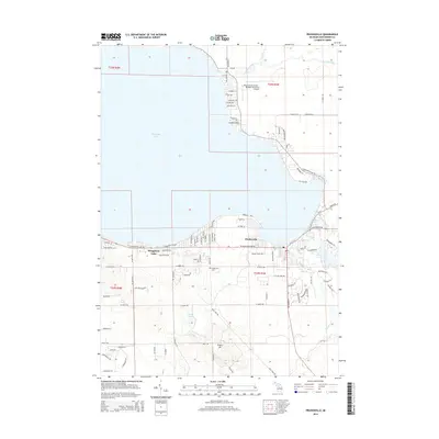 2014 Prudenville2014 Print · USGSThe southeastern shores of Michigan's largest inland lake are shown here in the mid-2010s, centered on the community of Prudenville. Researchers can trace the development of lakeside neighborhoods at Songers Point or locate family sites near Prudenville Cem and Lake James.
 - 2014 Map of Meredith NW, 2014 Print
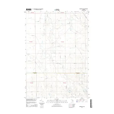 2014 Meredith NW2014 Print · USGSThe Roscommon and Clare County line in 2014 remains a landscape of intricate waterways and forest trails. Researchers can trace the layout of Calhoun and map access to remote waters like Pup Lake, Rollway Lake, and Elbow Lake.
 - 2014 Map of Meredith, 2014 Print
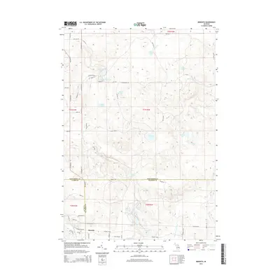 2014 Meredith2014 Print · USGSThe rural junction of Meredith and the headwaters of the Cedar River are captured here in the mid-2010s. Researchers can locate the Meredith Cem and trace the complex network of backcountry waters including Hoister Lake and Headquarters Lake.
 - 2014 Map of Houghton Lake, 2014 Print
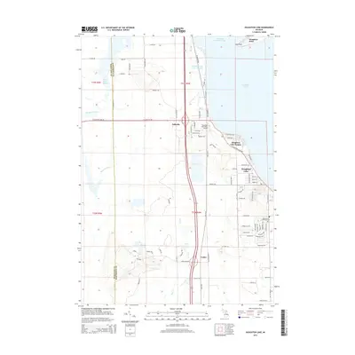 2014 Houghton Lake2014 Print · USGSHoughton Lake and its western wetlands are captured here in the early twenty-first century as the local communities expanded along the shoreline. Researchers can trace family sites near Roscommon Township Cemetery or locate landmarks like Houghton Lake State Airport and Nellsville.
 - 2014 Map of Cooperton, 2014 Print
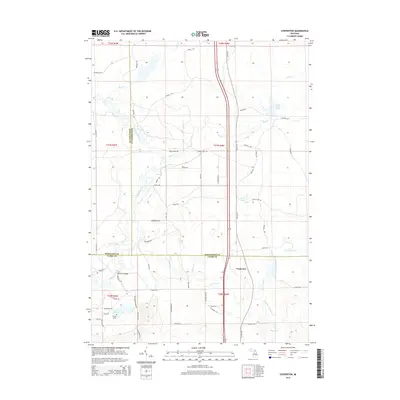 2014 Cooperton2014 Print · USGSUpper Michigan's central interior is captured here as three counties converge at Cooperton. Map researchers can trace the winding Muskegon River across Jonesville Bridge or locate remote water features like Wraco Lodge Lake and Grass Lake.
 - 2017 Map of Prudenville, 2017 Print
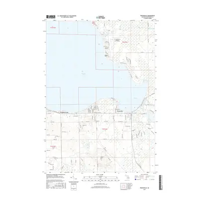 2017 Prudenville2017 Print · USGSThe Houghton Lake shoreline at Prudenville was a bustling hub of residential and recreational activity by the late 2010s. Local researchers can trace the growth of Prudenville neighborhoods and locate landmarks like the Prudenville Cem and Emery Hill.
 - 2017 Map of Houghton Lake, 2017 Print
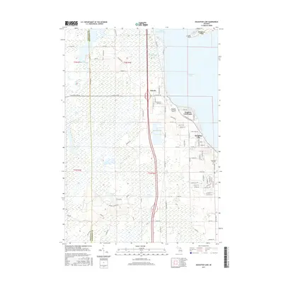 2017 Houghton Lake2017 Print · USGSHoughton Lake and its sprawling western wetlands are captured here in the late twenty-teens. Researchers can trace the development of Houghton Lake Heights and locate the Roscommon Township Cem near the headwaters of the Muskegon River.
 - 2017 Map of Meredith NW, 2017 Print
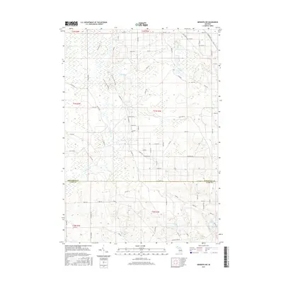 2017 Meredith NW2017 Print · USGSDenton Township and the surrounding wetlands are documented here in 2017, showcasing the interplay between the dense glacial lake system and rural development. Researchers can trace land tracts and local routes like Meredith Grade Road near Rollway Lake and Elbow Lake.
 - 2017 Map of Meredith, 2017 Print
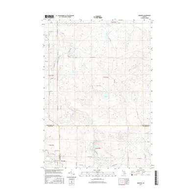 2017 Meredith2017 Print · USGSNear the convergence of Clare, Gladwin, and Roscommon counties, this landscape highlights the village of Meredith and its surrounding woodlands. Genealogists and local historians can locate the Meredith Cem and trace the winding paths of the Cedar River and Sugar River.
Showing maps 1-25 of 36
Top cities near Roscommon Township
- Houghton Lake historical maps
- Harrison historical maps
- Prudenville historical maps
- Butterfield historical maps
Top neighborhoods of Roscommon Township
Frequently asked questions
- What are the different types of historical maps available for Roscommon Township?
- What is the oldest map of Roscommon Township?
- Where can I purchase historical maps of Roscommon Township for my home or office?
- Where can I download high-res historical maps of Roscommon Township?
- Are there historical topographic maps available for Roscommon Township?
- Is there historical aerial imagery available for Roscommon Township?
- Where are historical maps of Roscommon Township sourced from?