2000s (21st Century) Maps of Buena Vista Charter Township, Michigan
Explore 20 historic maps of Buena Vista Charter Township from the 2000s (21st Century). These maps offer a rare glimpse into what life looked like during the 2000s — showing old roads, neighborhoods, homes, and landmarks that have changed or disappeared over time.
Whether you're researching your family's past, planning a metal detecting trip, or studying how Buena Vista Charter Township's landscape evolved across the 2000s, these high-resolution maps are a powerful tool for exploring the history of this region.
- Focus on a specific era: All maps on this page are from the 2000s, giving you a focused view of this time period.
- See what’s changed: Compare century-old streets, trails, and buildings to today's modern landscape using overlays and satellite layers.
- Research with precision: Use these maps for genealogy, historical research, land use analysis, or educational projects.
- View, download, or print: Maps are fully viewable online in high resolution, and can be downloaded or printed for your own records.
Start exploring Buena Vista Charter Township's history through authentic maps from the 2000s. This is your window into the past.
Buena Vista Charter Township, MI maps
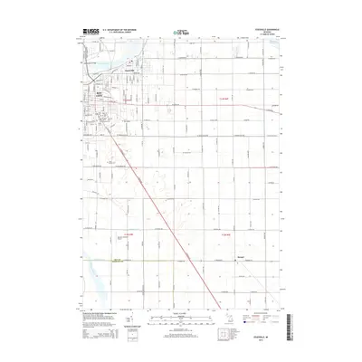
(20)- 2011 Map of Essexville, 2011 Print
 2011 Essexville2011 Print · USGSCovers Buena Vista Charter Township, including Bay City, Essexville, and other nearby areas
 - 2011 Map of Saginaw NE, 2011 Print
 2011 Saginaw NE2011 Print · USGSCovers Buena Vista Charter Township, including Bridgeport Charter Township, Frankentrost, and other nearby areas
 - 2011 Map of Saginaw, 2011 Print
 2011 Saginaw2011 Print · USGSCovers Buena Vista Charter Township, including Saginaw, Zilwaukee, and other nearby areas
 - 2011 Map of Bay City, 2011 Print
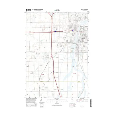
 2011 Bay City2011 Print · USGSCovers Buena Vista Charter Township, including Bay City, Kochville, and other nearby areas
 - 2014 Map of Essexville, 2014 Print
 2014 Essexville2014 Print · USGSCovers Buena Vista Charter Township, including Bay City, Essexville, and other nearby areas
 - 2014 Map of Saginaw, 2014 Print
 2014 Saginaw2014 Print · USGSCovers Buena Vista Charter Township, including Saginaw, Zilwaukee, and other nearby areas
 - 2014 Map of Bay City, 2014 Print
 2014 Bay City2014 Print · USGSCovers Buena Vista Charter Township, including Bay City, Kochville, and other nearby areas
 - 2014 Map of Saginaw NE, 2014 Print
 2014 Saginaw NE2014 Print · USGSCovers Buena Vista Charter Township, including Bridgeport Charter Township, Frankentrost, and other nearby areas
 - 2017 Map of Saginaw, 2017 Print
 2017 Saginaw2017 Print · USGSCovers Buena Vista Charter Township, including Saginaw, Zilwaukee, and other nearby areas
 - 2017 Map of Saginaw NE, 2017 Print
 2017 Saginaw NE2017 Print · USGSCovers Buena Vista Charter Township, including Bridgeport Charter Township, Frankentrost, and other nearby areas
 - 2017 Map of Essexville, 2017 Print
 2017 Essexville2017 Print · USGSCovers Buena Vista Charter Township, including Bay City, Essexville, and other nearby areas
 - 2017 Map of Bay City, 2017 Print
 2017 Bay City2017 Print · USGSCovers Buena Vista Charter Township, including Bay City, Kochville, and other nearby areas
 - 2019 Map of Saginaw, 2019 Print
 2019 Saginaw2019 Print · USGSCovers Buena Vista Charter Township, including Saginaw, Zilwaukee, and other nearby areas
 - 2019 Map of Saginaw NE, 2019 Print
 2019 Saginaw NE2019 Print · USGSCovers Buena Vista Charter Township, including Bridgeport Charter Township, Frankentrost, and other nearby areas
 - 2019 Map of Bay City, 2019 Print
 2019 Bay City2019 Print · USGSCovers Buena Vista Charter Township, including Bay City, Kochville, and other nearby areas
 - 2019 Map of Essexville, 2019 Print
 2019 Essexville2019 Print · USGSCovers Buena Vista Charter Township, including Bay City, Essexville, and other nearby areas
 - 2023 Map of Essexville, 2023 Print
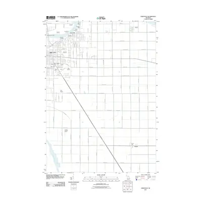
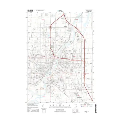
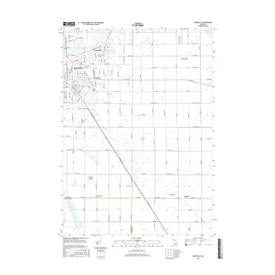
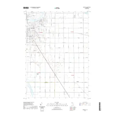
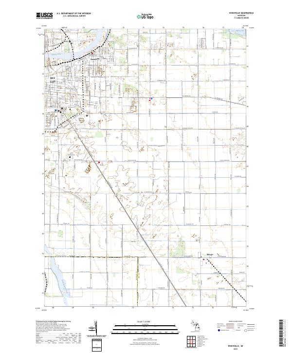 2023 Essexville2023 Print · USGSEssexville and the outskirts of Bay City are shown at the edge of the Saginaw Bay in this recent survey. Local historians can trace cemetery locations like Pine Ridge Cem or follow the paths of Cheboyganing Creek and Munger along the county line.
 - 2023 Map of Saginaw NE, 2023 Print
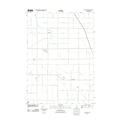
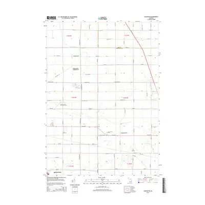
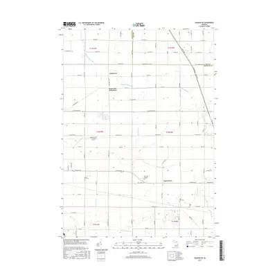
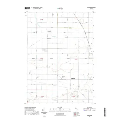
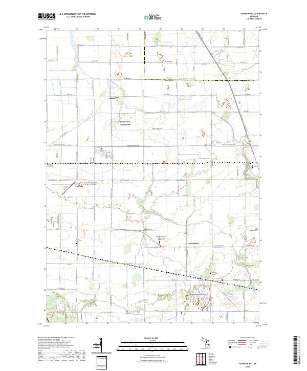 2023 Saginaw NE2023 Print · USGSSaginaw’s northeastern outskirts and the agricultural plains beyond are shown here in recent detail. Researchers can locate family landmarks at Buena Vista Cem and trace the drainage networks of Cheboyganing Creek and Blumfield Creek.
 - 2023 Map of Saginaw, 2023 Print
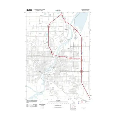
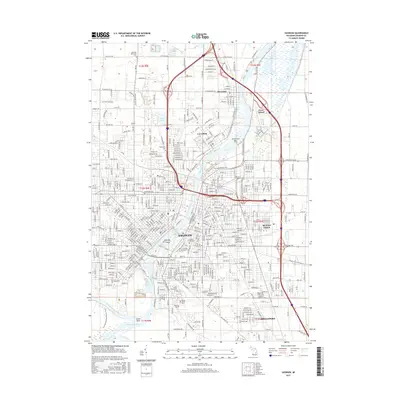
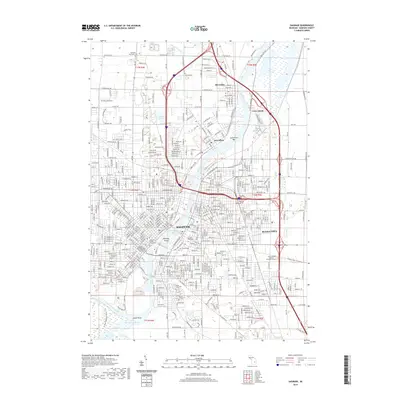
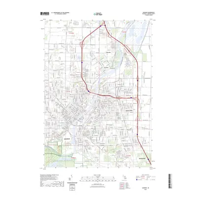 2023 Saginaw2023 Print · USGSSaginaw and its riverfront communities are captured here in the early twenty-first century, showing the dense urban grid alongside expansive conservation lands. Genealogists and local historians can trace legacy sites like the Saginaw County Courthouse and numerous burial grounds including Forest Lawn Cem and Calvary Cem.
 - 2023 Map of Bay City, 2023 Print
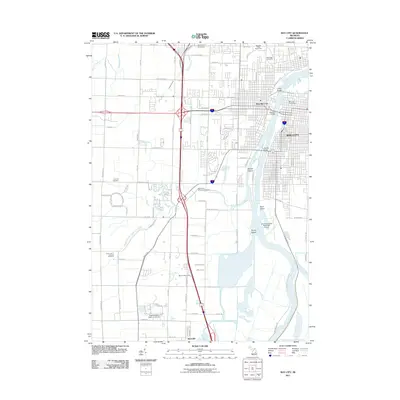
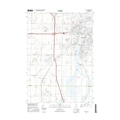
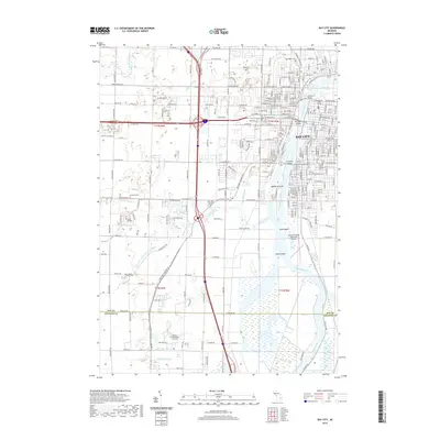
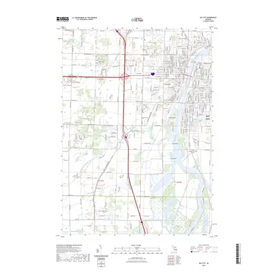 2023 Bay City2023 Print · USGSThe Saginaw River dominates this contemporary Michigan landscape, showing how modern industry and education have reshaped the Bay City area. Researchers can locate Saint Paul Lutheran Cem, Delta College, and the riverfront islands like Middle Ground.
End of results
Showing maps 1-20 of 20
Top cities near Buena Vista Charter Township
- Saginaw historical maps
- Bay City historical maps
- Kawkawlin historical maps
- Frankenmuth historical maps
- City of Frankenmuth historical maps
- Taymouth historical maps
See more
Top neighborhoods of Buena Vista Charter Township
- Crow Island historical maps
- Indiantown historical maps
- Robin Glen historical maps
- Buena Vista historical maps
Frequently asked questions
- What are the different types of historical maps available for Buena Vista Charter Township?
- What is the oldest map of Buena Vista Charter Township?
- Where can I purchase historical maps of Buena Vista Charter Township for my home or office?
- Where can I download high-res historical maps of Buena Vista Charter Township?
- Are there historical topographic maps available for Buena Vista Charter Township?
- Is there historical aerial imagery available for Buena Vista Charter Township?
- Where are historical maps of Buena Vista Charter Township sourced from?