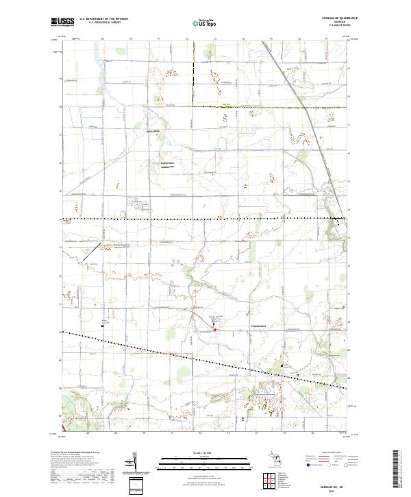
2023 Map of Saginaw NE
USGS Topo · Published 2023About this map
Indiantown and the clustered residential developments of Robin Glen-Indiantown anchor this portion of the Saginaw Valley, where suburban expansion meets a highly engineered agricultural landscape. The region is defined by an intricate network of managed waterways, including Cheboyganing Creek, Blumfield Creek, and numerous man-made channels like English Drain and Weaver Drain. These features reflect the long-standing effort to drain the fertile lowlands for cultivation.
Find a feature on this map
77 named features on this map. Tap any name to fly to it.
Don’t see what you’re looking for? This feature index may not catch every label — zoom into the map to look around manually.
Map Details
Editions of this 2023 Saginaw NE Map
This is the sole edition of this map. No revisions or reprints were ever made.
Other maps of this area

1916 · Bay City
USGS Topo · 1:62,500

1919 · Bay City
USGS Topo · 1:62,500

1919 · Saginaw
USGS Topo · 1:62,500

1941 · Saginaw
USGS Topo · 1:62,500

1943 · Bay City
USGS Topo · 1:62,500

1943 · Saginaw
USGS Topo · 1:62,500

1954 · Flint
USGS Topo · 1:250,000

1958 · Flint
USGS Topo · 1:250,000

1963 · Quanicassee
USGS Topo · 1:24,000

1963 · Reese
USGS Topo · 1:24,000
Featured Places
- Frankenmuth Township, MI
- Blumfield Township, MI
- Bridgeport Charter Township, MI
- Buena Vista Charter Township, MI
- Frankentrost, MI