2000s (21st Century) Maps of Saint Charles Township, Michigan
Explore 20 historic maps of Saint Charles Township from the 2000s (21st Century). These maps offer a rare glimpse into what life looked like during the 2000s — showing old roads, neighborhoods, homes, and landmarks that have changed or disappeared over time.
Whether you're researching your family's past, planning a metal detecting trip, or studying how Saint Charles Township's landscape evolved across the 2000s, these high-resolution maps are a powerful tool for exploring the history of this region.
- Focus on a specific era: All maps on this page are from the 2000s, giving you a focused view of this time period.
- See what’s changed: Compare century-old streets, trails, and buildings to today's modern landscape using overlays and satellite layers.
- Research with precision: Use these maps for genealogy, historical research, land use analysis, or educational projects.
- View, download, or print: Maps are fully viewable online in high resolution, and can be downloaded or printed for your own records.
Start exploring Saint Charles Township's history through authentic maps from the 2000s. This is your window into the past.
Saint Charles Township, MI maps
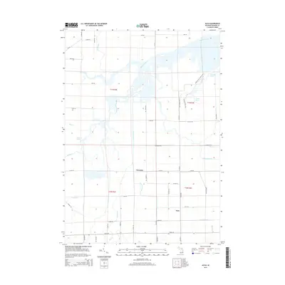
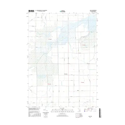
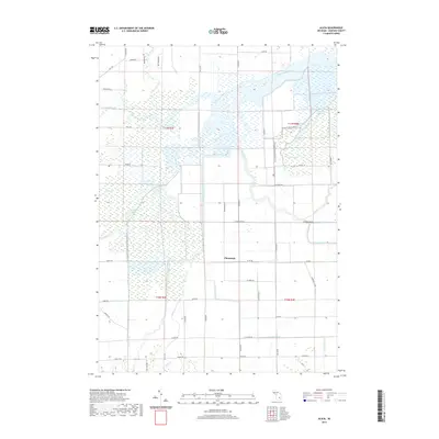
(20)- 2011 Map of Alicia, 2011 Print
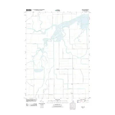 2011 Alicia2011 Print · USGSCovers Saint Charles Township, including Albee Township, Swan Creek Township, and other nearby areas
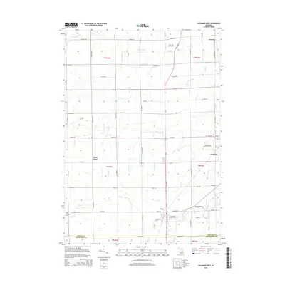
 - 2011 Map of Chesaning East, 2011 Print
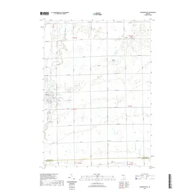
 2011 Chesaning East2011 Print · USGSCovers Saint Charles Township, including Chesaning, Hazelton Township, and other nearby areas
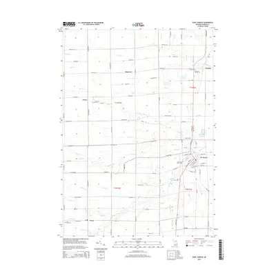
 - 2011 Map of Saint Charles, 2011 Print
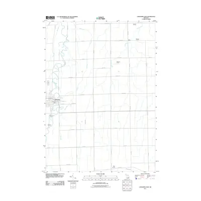
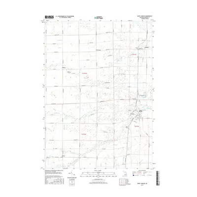
 2011 Saint Charles2011 Print · USGSCovers Saint Charles Township, including Brant, Saint Charles, and other nearby areas
 - 2011 Map of Chesaning West, 2011 Print
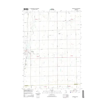
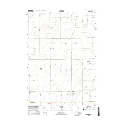
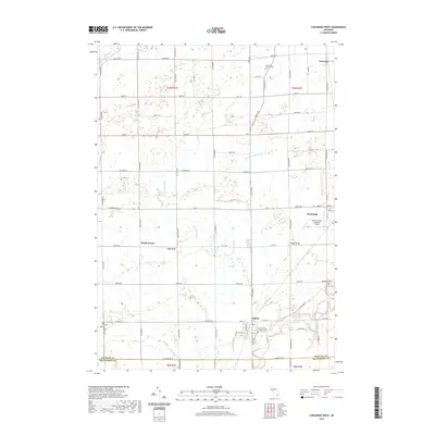
 2011 Chesaning West2011 Print · USGSCovers Saint Charles Township, including Chesaning, Oakley, and other nearby areas
 - 2014 Map of Chesaning East, 2014 Print
 2014 Chesaning East2014 Print · USGSCovers Saint Charles Township, including Chesaning, Hazelton Township, and other nearby areas
 - 2014 Map of Alicia, 2014 Print
 2014 Alicia2014 Print · USGSCovers Saint Charles Township, including Albee Township, Swan Creek Township, and other nearby areas
 - 2014 Map of Chesaning West, 2014 Print
 2014 Chesaning West2014 Print · USGSCovers Saint Charles Township, including Chesaning, Oakley, and other nearby areas
 - 2014 Map of Saint Charles, 2014 Print
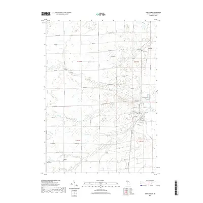
 2014 Saint Charles2014 Print · USGSCovers Saint Charles Township, including Brant, Saint Charles, and other nearby areas
 - 2017 Map of Saint Charles, 2017 Print
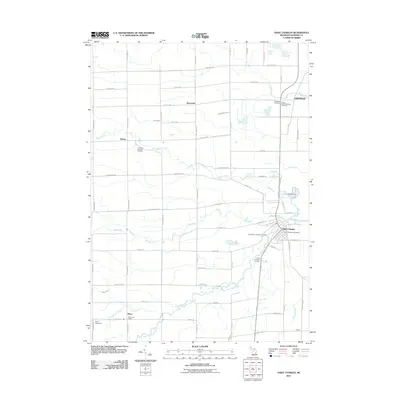
 2017 Saint Charles2017 Print · USGSCovers Saint Charles Township, including Brant, Saint Charles, and other nearby areas
 - 2017 Map of Chesaning West, 2017 Print
 2017 Chesaning West2017 Print · USGSCovers Saint Charles Township, including Chesaning, Oakley, and other nearby areas
 - 2017 Map of Chesaning East, 2017 Print
 2017 Chesaning East2017 Print · USGSCovers Saint Charles Township, including Chesaning, Hazelton Township, and other nearby areas
 - 2017 Map of Alicia, 2017 Print
 2017 Alicia2017 Print · USGSCovers Saint Charles Township, including Albee Township, Swan Creek Township, and other nearby areas
 - 2019 Map of Saint Charles, 2019 Print
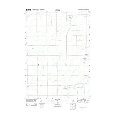
 2019 Saint Charles2019 Print · USGSCovers Saint Charles Township, including Brant, Saint Charles, and other nearby areas
 - 2019 Map of Chesaning East, 2019 Print
 2019 Chesaning East2019 Print · USGSCovers Saint Charles Township, including Chesaning, Hazelton Township, and other nearby areas
 - 2019 Map of Alicia, 2019 Print
 2019 Alicia2019 Print · USGSCovers Saint Charles Township, including Albee Township, Swan Creek Township, and other nearby areas
 - 2019 Map of Chesaning West, 2019 Print
 2019 Chesaning West2019 Print · USGSCovers Saint Charles Township, including Chesaning, Oakley, and other nearby areas
 - 2023 Map of Saint Charles, 2023 Print
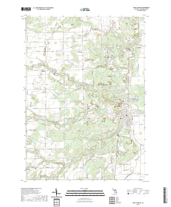 2023 Saint Charles2023 Print · USGSCentral Michigan's river-fed landscapes are mapped here in the early 2020s, centered on the confluence at St. Charles. Local historians can trace family plots at Riverside Cem or explore rural sites like Roosevelt and Brant.
 - 2023 Map of Chesaning East, 2023 Print
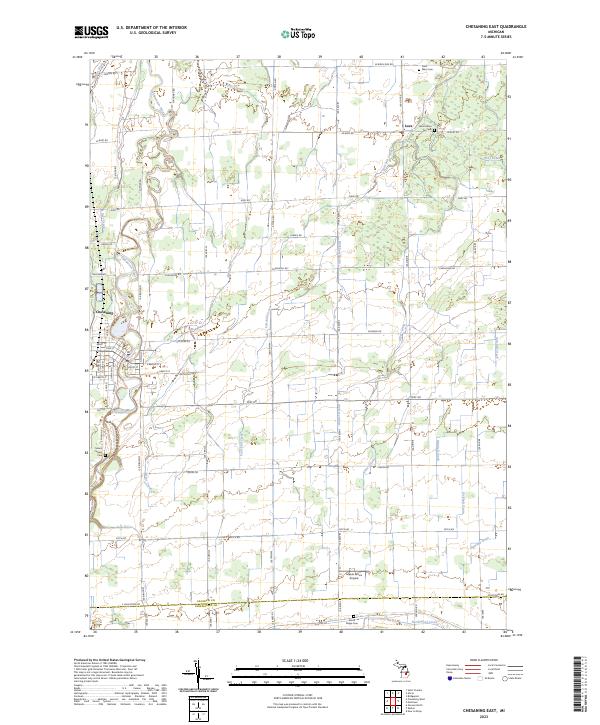 2023 Chesaning East2023 Print · USGSSaginaw County farmland meets the winding Shiawassee River in this modern study of the Chesaning area. Researchers can trace family roots at Mount Calvary Cem and North Ridge Cem or locate the rural settlement of Luce.
 - 2023 Map of Alicia, 2023 Print
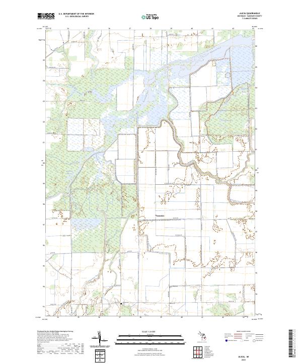 2023 Alicia2023 Print · USGSThe confluence of the Shiawassee, Flint, and Bad Rivers dominates this Saginaw County landscape in the early 2020s. Researchers can locate the Indiantown Cem and trace the paths of the Ferguson Bayou Nature Trl and Clausedale.
 - 2023 Map of Chesaning West, 2023 Print
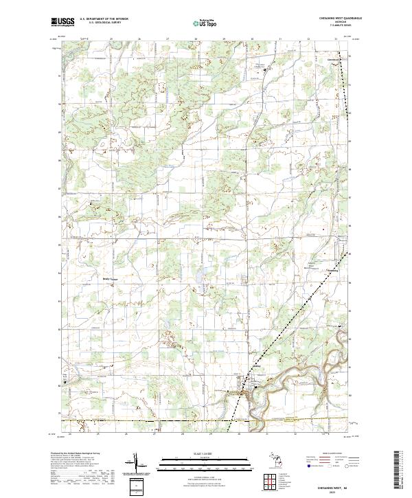 2023 Chesaning West2023 Print · USGSSaginaw County's rural townships are documented here in the early 2020s, showing a landscape shaped by the Shiawassee River and generations of farming. Genealogists can locate several burial sites like Wildwood Cem and Griffus Cem alongside the small communities of Oakley and Brady Center.
End of results
Showing maps 1-20 of 20
Top cities near Saint Charles Township
- Saginaw historical maps
- Swan Creek historical maps
- Chesaning historical maps
- Brant historical maps
- Saint Charles historical maps
- Montrose historical maps
See more
Top neighborhoods of Saint Charles Township
Frequently asked questions
- What are the different types of historical maps available for Saint Charles Township?
- What is the oldest map of Saint Charles Township?
- Where can I purchase historical maps of Saint Charles Township for my home or office?
- Where can I download high-res historical maps of Saint Charles Township?
- Are there historical topographic maps available for Saint Charles Township?
- Is there historical aerial imagery available for Saint Charles Township?
- Where are historical maps of Saint Charles Township sourced from?