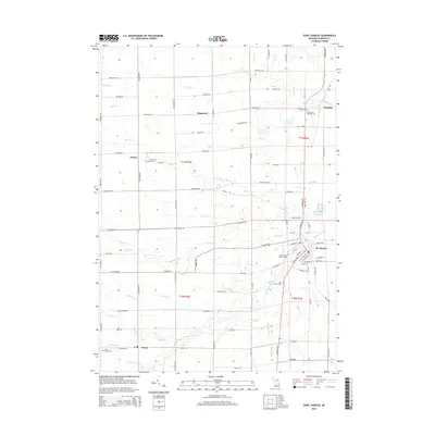
2014 Map of Saint Charles
USGS Topo · Published 2014About this map
The Bad River and its multiple tributaries define this section of Saginaw County, where agricultural land meets a complex network of waterways. In the village of St. Charles, a concentrated grid of streets sits near the confluence of the river and Beaver Creek, serving as a focal point for the surrounding townships. The landscape is marked by a significant number of burial sites, including Saint Marys Catholic Cem and Saint Charles Cem, providing essential locations for genealogical research in this part of Michigan.
Find a feature on this map
89 named features on this map. Tap any name to fly to it.
Don’t see what you’re looking for? This feature index may not catch every label — zoom into the map to look around manually.
Map Details
Editions of this 2014 Saint Charles Map
This is the sole edition of this map. No revisions or reprints were ever made.
Other maps of this area

1917 · Chesaning
USGS Topo · 1:62,500

1917 · St. Charles
USGS Topo · 1:62,500

1918 · Elsie
USGS Topo · 1:62,500

1934 · Merrill
USGS Topo · 1:62,500

1937 · Merrill
USGS Topo · 1:62,500

1943 · Chesaning
USGS Topo · 1:62,500

1943 · St. Charles
USGS Topo · 1:62,500

1943 · Elsie
USGS Topo · 1:62,500

1954 · Midland
USGS Topo · 1:250,000

1958 · Midland
USGS Topo · 1:250,000