Old Maps of Columbus Township, Michigan for Metal Detecting
Plan your next treasure hunt with 42 historic maps of Columbus Township. Find old homesites, ghost towns, trails, and gathering spots that may be lost to time — perfect for identifying promising metal detecting locations.
- Locate forgotten sites: Uncover places like long-lost settlements, abandoned rail lines, or gathering spots.
- Plan better hunts: Use map overlays combined with LiDAR or satellite views to narrow in on historically rich areas.
- Made for detectorists: Thousands of hobbyists use these maps to discover relics, coins, and hidden history.
Use these historic maps to boost your research and find new opportunities beneath the surface of Columbus Township.
Columbus Township, MI maps
(42)- 1928 Map of Hicky
 1928 Hicky1928 Print · USGSSt. Clair County's rural townships and railway hubs are captured here in the years following the Great War. Researchers can locate vanished landmarks and post offices like Lambs P.O. or trace the early paths of the Fort Gratiot Turnpike and Grand Trunk R. R.
 - 1936 Map of Rattle Run
 1936 Rattle Run1936 Print · USGSSt. Clair County in the mid-thirties remains a landscape of quiet township crossroads and small family farms. Genealogists and local historians can trace the exact locations of many rural schoolhouses like Kennedy Sch and old burial grounds including Balfour Cem and St Marys Cem.
 - 1939 Map of Adair
 1939 Adair1939 Print · USGSSt. Clair County in the late 1930s shows a landscape of established farmsteads and a remarkably high density of rural schools and churches. Genealogists can trace family footprints through sites like Pink Sch, Columbus Cem, and the village of Adair.
 - 1939 Map of Smiths Creek
 1939 Smiths Creek1939 Print · USGSSt. Clair County is shown in the late 1930s as a landscape of rural schools and heavy rail lines. Researchers can trace the heritage of vanished school districts and family cemeteries like Caswell Cem and the Canada Settlement Sch alongside the Grand Trunk Western tracks.
 - 1939 Map of Goodells
 1939 Goodells1939 Print · USGSSt. Clair County's agricultural heartland is documented here just before the Second World War, showing the township-based life of Wales and Kenockee. Researchers can locate family-named landmarks like Beach Sch, the St Clair County Infirmary, and the Kenockee Cem.
 - 1942 Map of Rattle Run
 1942 Rattle Run1942 Print · USGSSt. Clair County's rural townships are captured here just before the mid-century, showing a landscape of river-bend mills and country schoolhouses. Genealogists can locate family landmarks like Bell River Mills, Salem Ch, and the Tritten Sch grounds.2 unique versions available
 - 1952 Map of Adair, 1954 Print
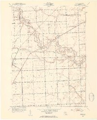 1952 Adair1954 Print · USGSEastern Michigan’s rural townships are captured here in the early fifties, showing the transition from traditional farming communities to a modernizing road network. Genealogists can locate family landmarks like Columbus Cem, Pink Sch, and the community of Adair.2 unique versions available
 - 1952 Map of Smiths Creek, 1954 Print
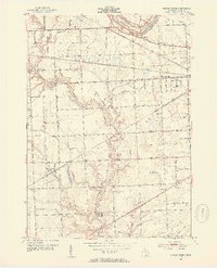 1952 Smiths Creek1954 Print · USGSSt. Clair County's rural townships are captured here in the early fifties, showing a landscape defined by the intersection of the Grand Trunk RR and the Black River. Local historians can trace family-named schools and early landmarks like the Canada Settlement Sch and Smiths Creek.2 unique versions available
 - 1952 Map of Goodells, 1954 Print
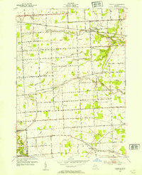 1952 Goodells1954 Print · USGSMid-century St. Clair County is captured here during a period of established rural farming and community life. Genealogists and historians can trace family land proximity to local landmarks like the County Infirmary, Kenockee Cem, and rural schoolhouses such as Beach Sch.2 unique versions available
 - 1952 Map of Rattle Run, 1954 Print
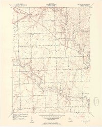 1952 Rattle Run1954 Print · USGSSt. Clair County's rural townships are captured here in the early 1950s, showing a landscape of small farm settlements and numerous country schoolhouses. Researchers can trace family history through landmarks like Bell River Mills, Maple Ridge Cem, and the Kennedy Sch (Abandoned).2 unique versions available
 - 1954 Map of Detroit
 1954 Detroit1954 Print · USGSThe Detroit metro and its Ontario neighbors are shown at the height of the mid-century industrial era, just as the suburbs were rapidly expanding. Researchers can trace the massive rail networks of the Wabash Railroad or locate landmarks like Grosse Ile and Selfridge Air Force Base.
 - 1961 Map of Detroit, 1973 Print
 1961 Detroit1973 Print · USGSThe international border between Michigan and Ontario was a bustling industrial corridor in the early sixties. Researchers can trace the transit networks and riverfront infrastructure connecting Detroit to Windsor via the Detroit-Windsor Tunnel and major air hubs like Willow Run Airport.2 unique versions available
 - 1965 Map of Detroit
 1965 Detroit1965 Print · USGSThe industrial corridor between Michigan and Ontario is captured here at mid-century, showing the dense rail and river networks of the Great Lakes. Local historians can trace the paths of the Grand Trunk Western RR and locate key landmarks like Selfridge Air Force Base and Grosse Ile.
 - 1968 Map of Goodells, 1970 Print
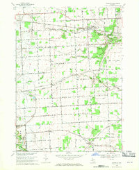 1968 Goodells1970 Print · USGSSt. Clair County's rural townships in the late sixties remain centered on the rail-and-river economy of the Grand Trunk Western. Genealogists can trace family roots through the Kenockee Cem, the Lambs Sch, and the Goodells Mission.2 unique versions available
 - 1968 Map of Smiths Creek, 1970 Print
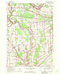 1968 Smiths Creek1970 Print · USGSSt. Clair County in the late sixties shows a landscape of growing townships and critical infrastructure along the BLACK RIVER. Researchers can trace local heritage through sites like St Marys Cem, the community at Smiths Creek, and the Sparlingville Sch grounds.2 unique versions available
 - 1968 Map of Rattle Run, 1971 Print
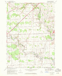 1968 Rattle Run1971 Print · USGSSt. Clair County in the late sixties shows a transition from traditional riverside milling to a complex landscape of oil fields and gas storage. Researchers can trace family roots through St Marys Cem or locate the historic Belle River Mills and Baird.
 - 1968 Map of Adair, 1971 Print
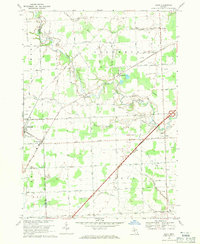 1968 Adair1971 Print · USGSThe rural landscapes of St. Clair and Macomb counties come alive in this late-sixties study of the area between the Belle and Puttygut rivers. Genealogists can trace family footprints through numerous cemeteries like Kittridge Cem and vanished landmarks in Muttonville and Snyderville.3 unique versions available
 - 1981 Map of Lake St. Clair North
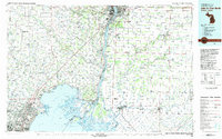 1981 Lake St. Clair North1981 Print · USGSThe Michigan-Ontario borderlands come alive in the early eighties, showcasing the busy international corridor from the St Clair River down to the delta. Trace the intricate channels around Harsens Island or locate regional hubs like Selfridge Air Force Base and Sarnia.
 - 1991 Map of Rattle Run
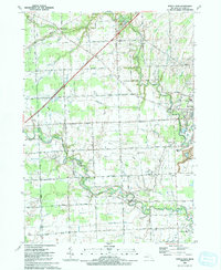 1991 Rattle Run1991 Print · USGSThe rural stretches of St. Clair County are captured here in the early nineties as traditional farming met a growing energy infrastructure. Researchers can trace family roots at Bowman Cem, locate the site of Belle River Mills, or map the extent of the Adair Oil Field.
 - 1991 Map of Adair
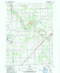 1991 Adair1991 Print · USGSAgricultural life meets the energy industry in St. Clair County during the early nineties, where river valleys are dotted with old family-named drains and oil fields. Genealogists can locate legacy sites like St Michaels Cem, St Peter Sch, and the quiet crossroads of Snyderville.
 - 1991 Map of Smiths Creek
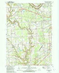 1991 Smiths Creek1991 Print · USGSSt. Clair County's mix of rural townships and expanding aviation infrastructure is captured here in the early nineties. Researchers can trace family sites like St Marys Cem and Caswell Cem or explore the corridor between Smiths Creek and the Port Huron State Game Area.
 - 1991 Map of Goodells
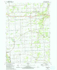 1991 Goodells1991 Print · USGSSt. Clair County is shown during a period of rural stability in the early 1990s, where traditional townships meet modern transportation corridors. Researchers can trace the layout of small communities like Goodells and Wales Center, or locate specific sites such as Maryglade Seminary and Our Lady of Mt Carmel Cem.
 - 2011 Map of Smiths Creek, 2011 Print
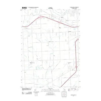 2011 Smiths Creek2011 Print · USGSSt. Clair County's rural and suburban interface is captured here in the early twenty-first century as the Pine River winds through the landscape. Genealogists can locate several family burial grounds like Bartlett Cemetery and Williams Cemetery or trace the Wadhams to Avoca Trl.
 - 2011 Map of Rattle Run, 2011 Print
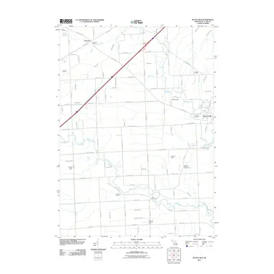 2011 Rattle Run2011 Print · USGSSaint Clair County in the early twenty-first century remains a landscape of river valleys and active energy fields. Researchers can locate local burial sites like Rattle Run Cemetery and trace the footprints of the Big Hand Oil Field and Belle River Mills.
 - 2011 Map of Goodells, 2011 Print
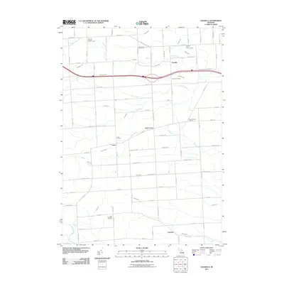 2011 Goodells2011 Print · USGSSt. Clair County in the early 2000s remains a landscape of small agricultural settlements and winding river branches. Local historians can trace established cemeteries and crossroads like Wales Center, the Goodells Post Office, and the Goodells Poor Farm Cemetery.
Showing maps 1-25 of 42
Top cities near Columbus Township
- Macomb Township historical maps
- Chesterfield Township historical maps
- Port Huron historical maps
- Harrison Township historical maps
- New Baltimore historical maps
- Marysville historical maps
See more
Top neighborhoods of Columbus Township
Frequently asked questions
- What are the different types of historical maps available for Columbus Township?
- What is the oldest map of Columbus Township?
- Where can I purchase historical maps of Columbus Township for my home or office?
- Where can I download high-res historical maps of Columbus Township?
- Are there historical topographic maps available for Columbus Township?
- Is there historical aerial imagery available for Columbus Township?
- Where are historical maps of Columbus Township sourced from?