Old Maps of Greenwood Township, Michigan for Metal Detecting
Plan your next treasure hunt with 27 historic maps of Greenwood Township. Find old homesites, ghost towns, trails, and gathering spots that may be lost to time — perfect for identifying promising metal detecting locations.
- Locate forgotten sites: Uncover places like long-lost settlements, abandoned rail lines, or gathering spots.
- Plan better hunts: Use map overlays combined with LiDAR or satellite views to narrow in on historically rich areas.
- Made for detectorists: Thousands of hobbyists use these maps to discover relics, coins, and hidden history.
Use these historic maps to boost your research and find new opportunities beneath the surface of Greenwood Township.
Greenwood Township, MI maps
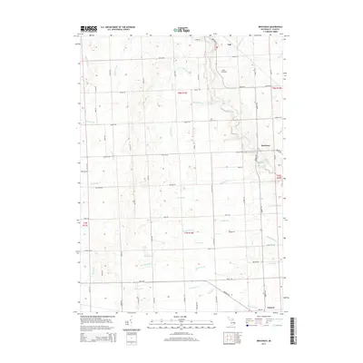
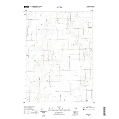
(27)- 1954 Map of Flint, 1968 Print
 1954 Flint1968 Print · USGSThe industrial corridor and fertile Thumb region of Michigan come alive in this mid-century survey. Genealogists and historians can trace the rail networks of the Grand Trunk, locate established settlements like Bad Axe and Sandusky, or explore the 1950s shoreline along Saginaw Bay.4 unique versions available
 - 1958 Map of Flint
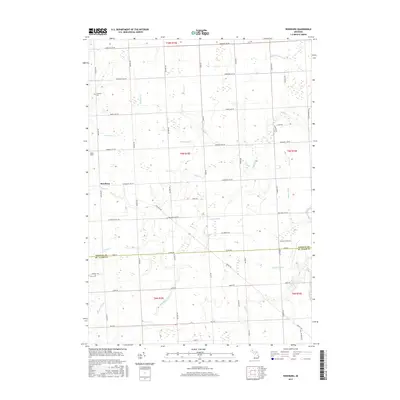
 1958 Flint1958 Print · USGSThe Michigan Thumb and the Saginaw Valley are captured here during the height of the post-war industrial era. Researchers can trace the complex rail networks of the Grand Trunk Western or locate mid-century landmarks like Lakeport State Park and the port at Bay City.2 unique versions available
 - 1961 Map of Roseburg, 1963 Print
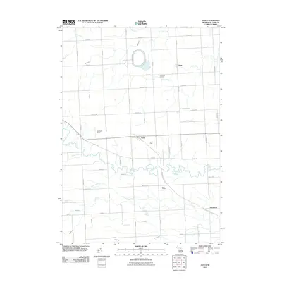
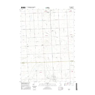
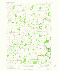 1961 Roseburg1963 Print · USGSSanilac and St. Clair counties are shown in the early sixties, featuring a landscape defined by traditional township grids and rural schoolhouses. Researchers can locate family landmarks like Fremont Cem, the Roseburg Sch, and the quiet crossroads of Livergood.2 unique versions available
 - 1961 Map of Avoca, 1963 Print
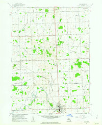
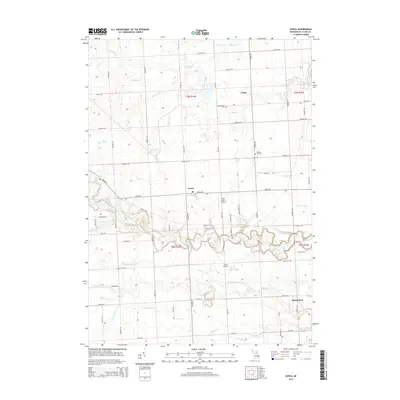
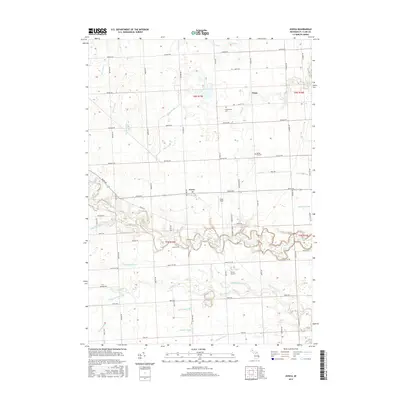
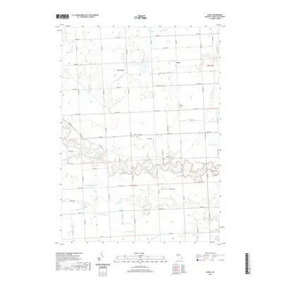
 1961 Avoca1963 Print · USGSIn the early 1960s, this pocket of St. Clair County was a landscape of rail-fed hamlets and winding waterways. Researchers can trace the lineage of rural communities at Avoca, Fargo, and Abbottsford, alongside country landmarks like Emanuel Ch and Allen Sch.2 unique versions available
 - 1961 Map of Brockway, 1963 Print
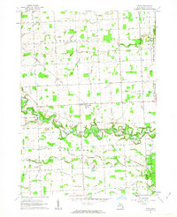
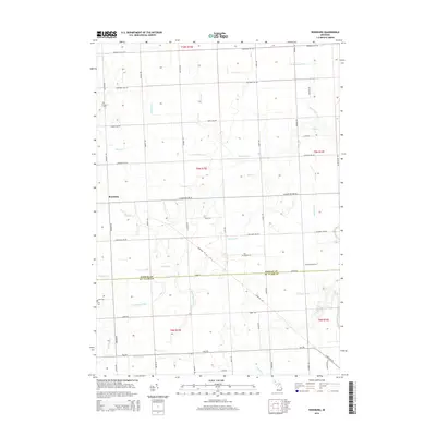
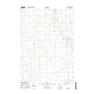
 1961 Brockway1963 Print · USGSSt. Clair County's rural townships are captured here in the early 1960s as a network of agricultural drains and small rail-side settlements. Genealogists can trace property near Yale, find Moore Cem, or locate family landmarks like Cole Ch and Meharg Drain.2 unique versions available
 - 1961 Map of Yale, 1963 Print
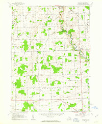
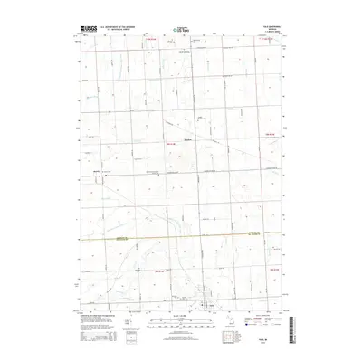
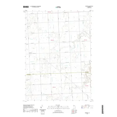
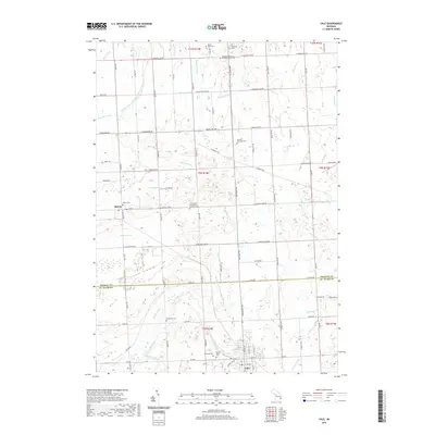
 1961 Yale1963 Print · USGSThe agricultural landscape of St. Clair and Sanilac Counties is captured here in the early sixties, centered on the railroad hub of Yale. Genealogists can locate rural landmarks like Sacred Heart Cem, McFadden Cem, and North School.
 - 1984 Map of Croswell, 1985 Print
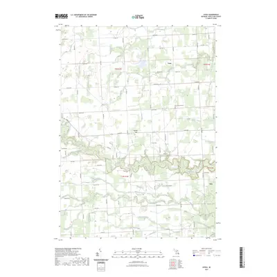
 1984 Croswell1985 Print · USGSThe Michigan Thumb region and the Lake Huron shoreline appear here in the mid-1980s, showcasing a landscape of drainage-fed farmland and coastal retreats. Researchers can trace the Chesapeake rail route and explore shoreline communities from Lexington Heights to Keewahdin.2 unique versions available
 - 2011 Map of Brockway, 2011 Print
 2011 Brockway2011 Print · USGSCovers Greenwood Township, including Brockway, Yale, and other nearby areas
 - 2011 Map of Yale, 2011 Print
 2011 Yale2011 Print · USGSCovers Greenwood Township, including Yale, Speaker, and other nearby areas
 - 2011 Map of Roseburg, 2011 Print
 2011 Roseburg2011 Print · USGSCovers Greenwood Township, including Buel Township, Grant Township, and other nearby areas
 - 2011 Map of Avoca, 2011 Print
 2011 Avoca2011 Print · USGSCovers Greenwood Township, including Fargo, Avoca, and other nearby areas
 - 2014 Map of Avoca, 2014 Print
 2014 Avoca2014 Print · USGSCovers Greenwood Township, including Fargo, Avoca, and other nearby areas
 - 2014 Map of Roseburg, 2014 Print
 2014 Roseburg2014 Print · USGSCovers Greenwood Township, including Buel Township, Grant Township, and other nearby areas
 - 2014 Map of Yale, 2014 Print
 2014 Yale2014 Print · USGSCovers Greenwood Township, including Yale, Speaker, and other nearby areas
 - 2014 Map of Brockway, 2014 Print
 2014 Brockway2014 Print · USGSCovers Greenwood Township, including Brockway, Yale, and other nearby areas
 - 2017 Map of Roseburg, 2017 Print
 2017 Roseburg2017 Print · USGSCovers Greenwood Township, including Buel Township, Grant Township, and other nearby areas
 - 2017 Map of Yale, 2017 Print
 2017 Yale2017 Print · USGSCovers Greenwood Township, including Yale, Speaker, and other nearby areas
 - 2017 Map of Avoca, 2017 Print
 2017 Avoca2017 Print · USGSCovers Greenwood Township, including Fargo, Avoca, and other nearby areas
 - 2017 Map of Brockway, 2017 Print
 2017 Brockway2017 Print · USGSCovers Greenwood Township, including Brockway, Yale, and other nearby areas
 - 2019 Map of Brockway, 2019 Print
 2019 Brockway2019 Print · USGSCovers Greenwood Township, including Brockway, Yale, and other nearby areas
 - 2019 Map of Avoca, 2019 Print
 2019 Avoca2019 Print · USGSCovers Greenwood Township, including Fargo, Avoca, and other nearby areas
 - 2019 Map of Roseburg, 2019 Print
 2019 Roseburg2019 Print · USGSCovers Greenwood Township, including Buel Township, Grant Township, and other nearby areas
 - 2019 Map of Yale, 2019 Print
 2019 Yale2019 Print · USGSCovers Greenwood Township, including Yale, Speaker, and other nearby areas
 - 2023 Map of Avoca, 2023 Print
 2023 Avoca2023 Print · USGSSt. Clair County's rural townships are shown here in modern detail, capturing the agricultural landscape north of Port Huron. Researchers can locate family heritage sites at Greenwood Cem and trace the paths of Mill Creek and the Pine River.
 - 2023 Map of Brockway, 2023 Print
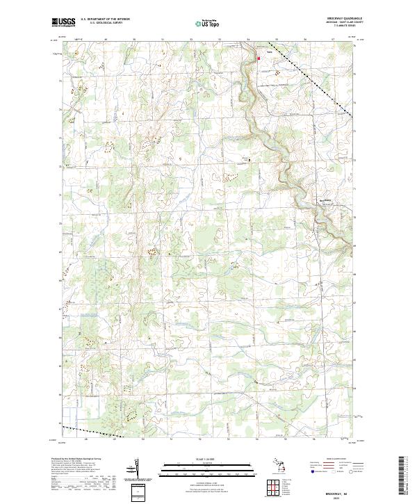 2023 Brockway2023 Print · USGSSt. Clair County's rural character is preserved in this modern survey of the agricultural Thumb. Genealogists and local historians can locate Moore Cem and trace early family footprints along Sayles Rd or near the Pine River and Yale Airport.
Showing maps 1-25 of 27
Top cities near Greenwood Township
- Marysville historical maps
- Kimball historical maps
- West Tappan historical maps
- Columbus Township historical maps
- Croswell historical maps
- Capac historical maps
See more
Top neighborhoods of Greenwood Township
Frequently asked questions
- What are the different types of historical maps available for Greenwood Township?
- What is the oldest map of Greenwood Township?
- Where can I purchase historical maps of Greenwood Township for my home or office?
- Where can I download high-res historical maps of Greenwood Township?
- Are there historical topographic maps available for Greenwood Township?
- Is there historical aerial imagery available for Greenwood Township?
- Where are historical maps of Greenwood Township sourced from?