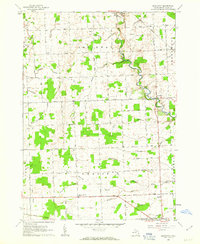
1961 Map of Brockway
USGS Topo · Published 1963About this map
Mill Creek meanders through the central landscape of this St. Clair County region, defining a drainage pattern that includes dozens of named channels like Sayles Drain and White Drain. The settlement of Yale sits in the northwest, serving as a local hub near the Chesapeake and Ohio rail line, while the smaller community of Brockway occupies a bend in the creek to the east. The land is predominantly agricultural, divided by a grid of named thoroughfares such as Metcalf Road and Imlay City Road.
Find a feature on this map
46 named features on this map. Tap any name to fly to it.
Don’t see what you’re looking for? This feature index may not catch every label — zoom into the map to look around manually.
Map Details
Editions of this 1961 Brockway Map
2 editions found
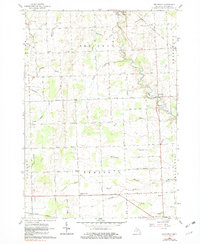
Other maps of this area

1914 · Armada
USGS Topo · 1:62,500

1928 · Armada
USGS Topo · 1:62,500

1928 · Hicky
USGS Topo · 1:62,500

1939 · Goodells
USGS Topo · 1:24,000

1944 · Memphis
USGS Topo · 1:24,000

1945 · Allenton
USGS Topo · 1:24,000

1952 · Allenton
USGS Topo · 1:24,000

1952 · Memphis
USGS Topo · 1:24,000
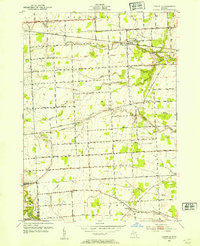
1952 · Goodells
USGS Topo · 1:24,000

1954 · Detroit
USGS Topo · 1:250,000