
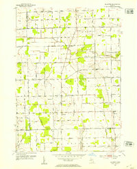
1952 Map of Allenton
USGS Topo · Published 1953About this map
Allenton and the neighboring hamlets of Lesterville and Berville anchor this early 1950s study of rural Berlin and Mussey Townships. The landscape is defined by the winding course of the Belle River and its southern tributaries, including the East Branch and Coon Creek. This era reveals a dense network of one-room schoolhouses and country parishes that once served the local farming community, such as Lockbridge Sch, Granger Sch, and West Berlin Ch.
Find a feature on this map
71 named features on this map. Tap any name to fly to it.
Don’t see what you’re looking for? This feature index may not catch every label — zoom into the map to look around manually.
Map Details
Editions of this 1952 Allenton Map
2 editions found
Other maps of this area

1914 · Armada
USGS Topo · 1:62,500

1928 · Armada
USGS Topo · 1:62,500

1943 · Romeo
USGS Topo · 1:24,000

1944 · Memphis
USGS Topo · 1:24,000

1945 · Armada
USGS Topo · 1:24,000

1945 · Almont
USGS Topo · 1:24,000

1945 · Allenton
USGS Topo · 1:24,000

1945 · Richmond
USGS Topo · 1:24,000

1945 · Romeo
USGS Topo · 1:24,000

1952 · Memphis
USGS Topo · 1:24,000