
1944 Map of Memphis
USGS Topo · Published 1944About this map
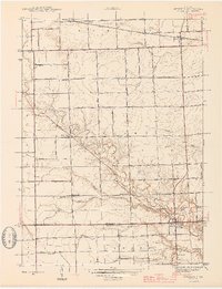
Memphis straddles the county line at the southern edge of this mid-century survey, serving as a focal point for the surrounding agricultural landscape of Riley and Armada townships. The Belle River meanders through the central terrain, its course mirrored by an extensive network of drainage channels like the Cowhy Drain and Appley Drain that enabled the region's productive farming. Further north, the Grand Trunk Western railroad cuts a straight path through the village of Emmett, marking the era's vital connection to industrial corridors.
Find a feature on this map
56 named features on this map. Tap any name to fly to it.
Don’t see what you’re looking for? This feature index may not catch every label — zoom into the map to look around manually.
Map Details
Editions of this 1944 Memphis Map
2 editions found
Other maps of this area

1914 · Armada
USGS Topo · 1:62,500

1928 · Armada
USGS Topo · 1:62,500

1928 · Hicky
USGS Topo · 1:62,500

1939 · Adair
USGS Topo · 1:24,000

1939 · Goodells
USGS Topo · 1:24,000

1945 · Armada
USGS Topo · 1:24,000

1945 · Allenton
USGS Topo · 1:24,000

1945 · Richmond
USGS Topo · 1:24,000

1952 · Allenton
USGS Topo · 1:24,000

1952 · Memphis
USGS Topo · 1:24,000