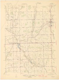
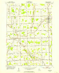
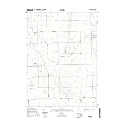
1945 Map of Armada
USGS Topo · Published 1945About this map
The village of Armada serves as the focal point of this mid-century Macomb County survey, situated at the intersection of Armada Ridge Rd and the Grand Trunk Western railroad line. The surrounding agricultural landscape is defined by a dense network of rural schoolhouses and family-associated landmarks, including the Bruce and Armada Grange and the Bruce and Armada Cem. Further south, the rural settlement of Ray Center sits near the banks of the Clinton River, characterized by the presence of Lee Cemetery and the Wolcott Mills Sch.
Find a feature on this map
56 named features on this map. Tap any name to fly to it.
Don’t see what you’re looking for? This feature index may not catch every label — zoom into the map to look around manually.
Map Details
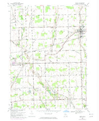
Editions of this 1945 Armada Map
2 editions found
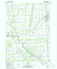
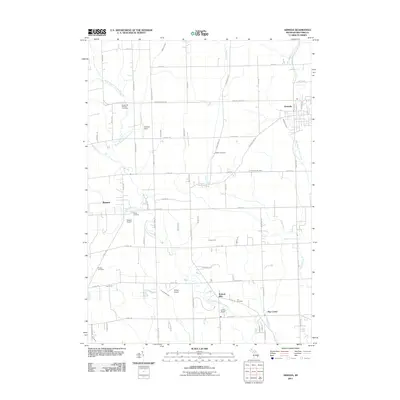
Historical Maps of Washington Charter Township Through Time
11 maps found
1914 Armada
Macomb County, MI
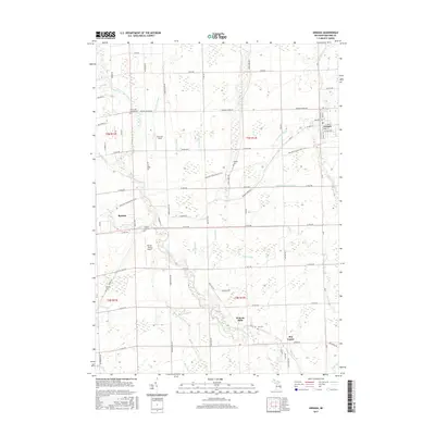
1928 Armada
Macomb County, MI
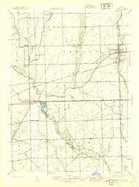
1945 Armada
Macomb County, MI
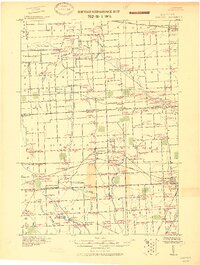
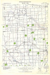
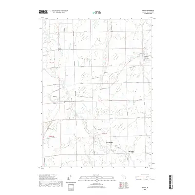
1952 Armada
Macomb County, MI
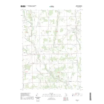
1968 Armada
Macomb County, MI
1991 Armada
Macomb County, MI
2011 Armada
Macomb County, MI
2014 Armada
Macomb County, MI
2017 Armada
Macomb County, MI
2019 Armada
Macomb County, MI
2023 Armada
Macomb County, MI
Featured Locations
- Romeo, MI
- Bruce Township, MI
- Washington Charter Township, MI
- Armada, Armada Township
- Wolcott Mill, Ray Township