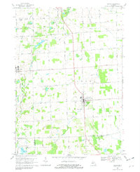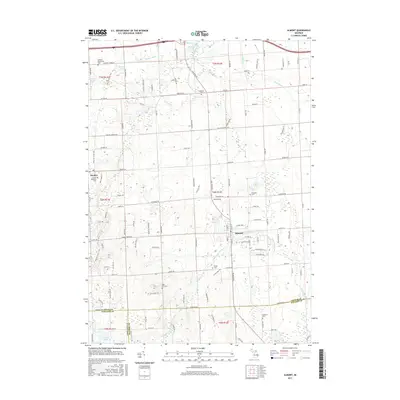
1945 Map of Almont
USGS Topo · Published 1945About this map
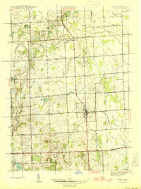
Almont and Dryden serve as the primary hubs in this agricultural landscape at the close of World War II, where the border of Lapeer and Macomb counties meets at Bordman Rd. The region is defined by a dense network of country school districts, including Mattoon Sch, Webster Sch, and Spangler Sch, reflecting the decentralized rural education system of the mid-1940s. Waterways like the Belle River and the North Branch Clinton River meander through the terrain, while the northern section is dotted with small kettle lakes such as Long Lake and Young Lake. Genealogists will find particular value in the location of Ferguson Cem and the numerous family-named landmarks and schools that anchored these Michigan farm communities before the consolidation of the modern era.
Find a feature on this map
38 named features on this map. Tap any name to fly to it.
Don’t see what you’re looking for? This feature index may not catch every label — zoom into the map to look around manually.
Map Details
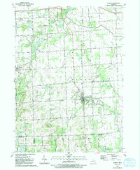
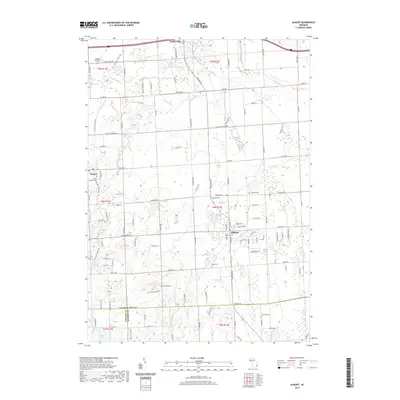
Editions of this 1945 Almont Map
2 editions found
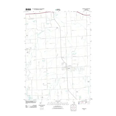
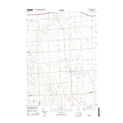
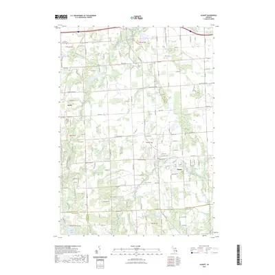
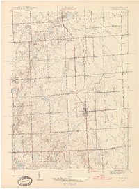
Historical Maps of Addison Township Through Time
8 maps found