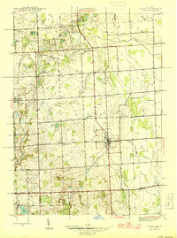
1945 Map of Almont
USGS Topo · Published 1945About this map
Almont and Dryden serve as the primary hubs in this mid-1940s landscape, which reveals a highly organized rural infrastructure across the Lapeer and Oakland county lines. The area is characterized by a dense network of country schools, including Mattoon, O'Neil, Webster, and Muir, reflecting a decentralized community structure before the era of school consolidation. These local landmarks are situated amidst a complex drainage system featuring the Belle River and the North Branch Clinton River.
Find a feature on this map
41 named features on this map. Tap any name to fly to it.
Don’t see what you’re looking for? This feature index may not catch every label — zoom into the map to look around manually.
Map Details
Editions of this 1945 Almont Map
2 editions found
Other maps of this area

1914 · Armada
USGS Topo · 1:62,500

1928 · Armada
USGS Topo · 1:62,500

1943 · Lake Orion
USGS Topo · 1:24,000

1943 · Romeo
USGS Topo · 1:24,000

1945 · Armada
USGS Topo · 1:24,000

1945 · Almont
USGS Topo · 1:24,000

1945 · Allenton
USGS Topo · 1:24,000

1945 · Thornville
USGS Topo · 1:24,000

1945 · Romeo
USGS Topo · 1:24,000
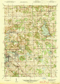
1945 · Lake Orion
USGS Topo · 1:24,000