2000s (21st Century) Maps of Port Huron, Michigan
Explore 10 historic maps of Port Huron from the 2000s (21st Century). These maps offer a rare glimpse into what life looked like during the 2000s — showing old roads, neighborhoods, homes, and landmarks that have changed or disappeared over time.
Whether you're researching your family's past, planning a metal detecting trip, or studying how Port Huron's landscape evolved across the 2000s, these high-resolution maps are a powerful tool for exploring the history of this region.
- Focus on a specific era: All maps on this page are from the 2000s, giving you a focused view of this time period.
- See what’s changed: Compare century-old streets, trails, and buildings to today's modern landscape using overlays and satellite layers.
- Research with precision: Use these maps for genealogy, historical research, land use analysis, or educational projects.
- View, download, or print: Maps are fully viewable online in high resolution, and can be downloaded or printed for your own records.
Start exploring Port Huron's history through authentic maps from the 2000s. This is your window into the past.
Port Huron, MI maps
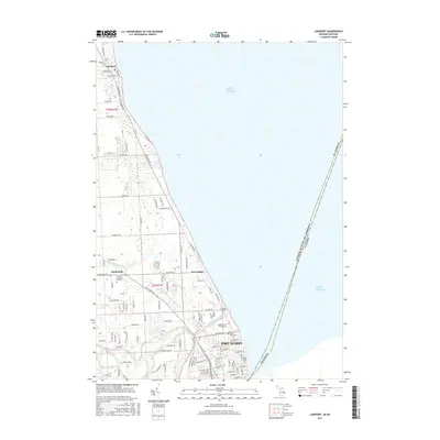
(10)- 2011 Map of Lakeport, 2011 Print
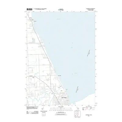 2011 Lakeport2011 Print · USGSCovers Port Huron, including Sarnia, Point Edward, and other nearby areas
 - 2011 Map of Port Huron, 2011 Print
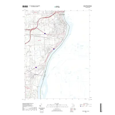
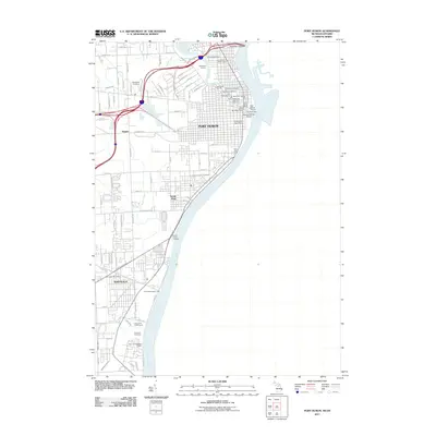 2011 Port Huron2011 Print · USGSCovers Port Huron, including Sarnia, St. Clair, and other nearby areas
 - 2014 Map of Lakeport, 2014 Print
 2014 Lakeport2014 Print · USGSCovers Port Huron, including Sarnia, Point Edward, and other nearby areas
 - 2014 Map of Port Huron, 2014 Print
 2014 Port Huron2014 Print · USGSCovers Port Huron, including Sarnia, St. Clair, and other nearby areas
 - 2017 Map of Lakeport, 2017 Print
 2017 Lakeport2017 Print · USGSCovers Port Huron, including Sarnia, Point Edward, and other nearby areas
 - 2017 Map of Port Huron, 2017 Print
 2017 Port Huron2017 Print · USGSCovers Port Huron, including Sarnia, St. Clair, and other nearby areas
 - 2019 Map of Port Huron, 2019 Print
 2019 Port Huron2019 Print · USGSCovers Port Huron, including Sarnia, St. Clair, and other nearby areas
 - 2019 Map of Lakeport, 2019 Print
 2019 Lakeport2019 Print · USGSCovers Port Huron, including Sarnia, Point Edward, and other nearby areas
 - 2023 Map of Port Huron, 2023 Print
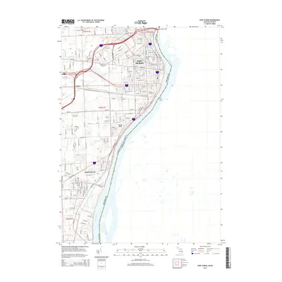
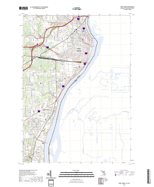 2023 Port Huron2023 Print · USGSThe international border at the Saint Clair River is captured in this modern Michigan survey, showing the interconnected industrial and residential hubs of Port Huron and Marysville. Trace local landmarks like Saint Clair County Community College and the historical Grand Trunk Western Driveway.
 - 2023 Map of Lakeport, 2023 Print
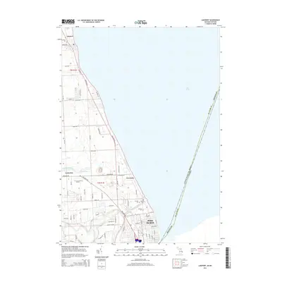
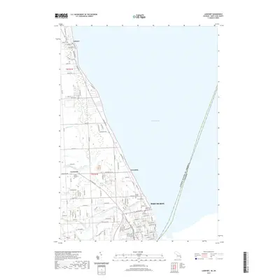
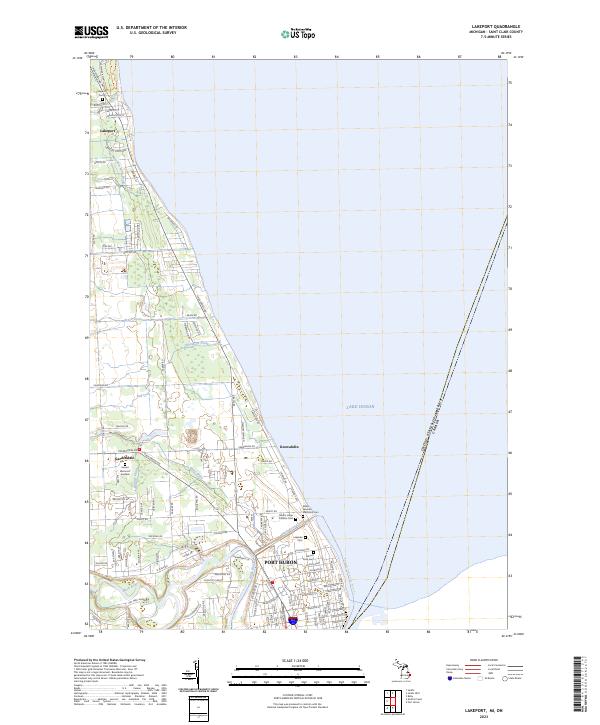 2023 Lakeport2023 Print · USGSCoastal St. Clair County is shown in detail during the early 2020s, documenting the northward growth of Port Huron along the lake. Researchers can trace numerous local burial sites like Lakeport Cem and Mount Sinai Cem, or follow the path of the Black River-Canal.
End of results
Showing maps 1-10 of 10
Top cities near Port Huron
- Marysville historical maps
- Kimball historical maps
- West Tappan historical maps
- Saint Clair historical maps
- Columbus Township historical maps
Top neighborhoods of Port Huron
Frequently asked questions
- What are the different types of historical maps available for Port Huron?
- What is the oldest map of Port Huron?
- Where can I purchase historical maps of Port Huron for my home or office?
- Where can I download high-res historical maps of Port Huron?
- Are there historical topographic maps available for Port Huron?
- Is there historical aerial imagery available for Port Huron?
- Where are historical maps of Port Huron sourced from?