Old Maps of Saint Clair, Michigan for Genealogy
Trace your family roots with 27 historic maps of Saint Clair. These high-res maps reveal old neighborhoods, homesites, landmarks, and streets — helping you uncover where your ancestors lived and how the area evolved over time.
- Explore historic neighborhoods: Identify where your relatives may have lived in the 1800s or 1900s.
- Compare maps over time: Trace the changes in streets, buildings, and landmarks for multi-generational research.
- Perfect for genealogy & ancestry research: Used by family historians and researchers to map out lineage and migration.
These maps are an incredible resource for exploring your personal connection to Saint Clair's past.
Saint Clair, MI maps
(27)- 1912 Map of Port Huron
 1912 Port Huron1912 Print · USGSThe St. Clair River border was a hive of rail and river activity just before the Great War. Genealogists and historians can trace early station stops and post offices like Harts Sta., Rankin Sta., and Bickford P.O. across both Michigan and Ontario shores.
 - 1928 Map of Hicky
 1928 Hicky1928 Print · USGSSt. Clair County's rural townships and railway hubs are captured here in the years following the Great War. Researchers can locate vanished landmarks and post offices like Lambs P.O. or trace the early paths of the Fort Gratiot Turnpike and Grand Trunk R. R.
 - 1929 Map of Port Huron
 1929 Port Huron1929 Print · USGSThe international border along the St Clair River is captured here during the late 1920s, highlighting the industrial ties between Michigan and Ontario. Genealogists and historians can trace rail stops and post offices like Bickford P O, Recors Pt Sta, and the Grand Trunk corridor.
 - 1936 Map of St. Clair
 1936 St. Clair1936 Print · USGSThe Michigan shoreline along the St. Clair River was a bustling corridor of rail and river commerce during the 1930s. Genealogists and local historians can trace early school districts and landmarks like Red Brick Sch, St Marys Ch, and Hillside Cem.
 - 1936 Map of Rattle Run
 1936 Rattle Run1936 Print · USGSSt. Clair County in the mid-thirties remains a landscape of quiet township crossroads and small family farms. Genealogists and local historians can trace the exact locations of many rural schoolhouses like Kennedy Sch and old burial grounds including Balfour Cem and St Marys Cem.
 - 1939 Map of St. Clair
 1939 St. Clair1939 Print · USGSThe St. Clair River shoreline in the late 1930s reveals a vibrant international borderland of riverfront towns and rural school districts. Genealogists and local historians can trace family locations near landmarks like the Red Brick Sch, St Marys Cem, and the Port Huron and Detroit rail line.
 - 1942 Map of Rattle Run
 1942 Rattle Run1942 Print · USGSSt. Clair County's rural townships are captured here just before the mid-century, showing a landscape of river-bend mills and country schoolhouses. Genealogists can locate family landmarks like Bell River Mills, Salem Ch, and the Tritten Sch grounds.2 unique versions available
 - 1952 Map of St. Clair, 1954 Print
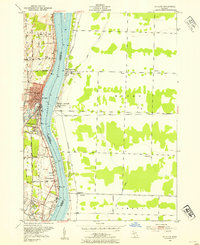 1952 St. Clair1954 Print · USGSThe international border along the St Clair River comes alive in the early fifties, showing the shared industrial and social life of Michigan and Ontario. Genealogists can trace family footprints at St Marys Cem, Hathaway Sch, or the small settlement of Hawthorne.2 unique versions available
 - 1952 Map of Rattle Run, 1954 Print
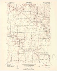 1952 Rattle Run1954 Print · USGSSt. Clair County's rural townships are captured here in the early 1950s, showing a landscape of small farm settlements and numerous country schoolhouses. Researchers can trace family history through landmarks like Bell River Mills, Maple Ridge Cem, and the Kennedy Sch (Abandoned).2 unique versions available
 - 1954 Map of Detroit
 1954 Detroit1954 Print · USGSThe Detroit metro and its Ontario neighbors are shown at the height of the mid-century industrial era, just as the suburbs were rapidly expanding. Researchers can trace the massive rail networks of the Wabash Railroad or locate landmarks like Grosse Ile and Selfridge Air Force Base.
 - 1961 Map of Detroit, 1973 Print
 1961 Detroit1973 Print · USGSThe international border between Michigan and Ontario was a bustling industrial corridor in the early sixties. Researchers can trace the transit networks and riverfront infrastructure connecting Detroit to Windsor via the Detroit-Windsor Tunnel and major air hubs like Willow Run Airport.2 unique versions available
 - 1965 Map of Detroit
 1965 Detroit1965 Print · USGSThe industrial corridor between Michigan and Ontario is captured here at mid-century, showing the dense rail and river networks of the Great Lakes. Local historians can trace the paths of the Grand Trunk Western RR and locate key landmarks like Selfridge Air Force Base and Grosse Ile.
 - 1968 Map of St. Clair, 1971 Print
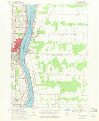 1968 St. Clair1971 Print · USGSThe international border along the St Clair River is shown here in the late sixties, capturing the distinct industrial and residential characters of Michigan and Ontario. Genealogists can trace family landmarks like St Marys Cem, Eddy Sch, and the riverside settlement at Hawthorne.2 unique versions available
 - 1968 Map of Rattle Run, 1971 Print
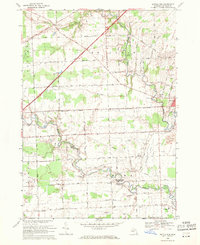 1968 Rattle Run1971 Print · USGSSt. Clair County in the late sixties shows a transition from traditional riverside milling to a complex landscape of oil fields and gas storage. Researchers can trace family roots through St Marys Cem or locate the historic Belle River Mills and Baird.
 - 1981 Map of Lake St. Clair North
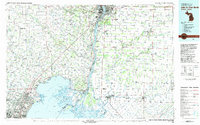 1981 Lake St. Clair North1981 Print · USGSThe Michigan-Ontario borderlands come alive in the early eighties, showcasing the busy international corridor from the St Clair River down to the delta. Trace the intricate channels around Harsens Island or locate regional hubs like Selfridge Air Force Base and Sarnia.
 - 1991 Map of Rattle Run
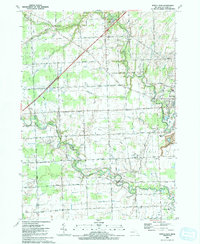 1991 Rattle Run1991 Print · USGSThe rural stretches of St. Clair County are captured here in the early nineties as traditional farming met a growing energy infrastructure. Researchers can trace family roots at Bowman Cem, locate the site of Belle River Mills, or map the extent of the Adair Oil Field.
 - 1991 Map of St. Clair
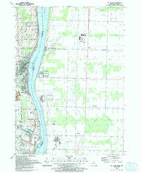 1991 St. Clair1991 Print · USGSThe international border along the St. Clair River was a hub of shared waterway activity in the early 1990s. Researchers can trace the layout of St Clair and Hawthorne, alongside local landmarks like St Marys Cem and Rose Hill Cem.
 - 2011 Map of Rattle Run, 2011 Print
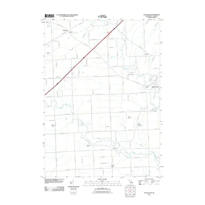 2011 Rattle Run2011 Print · USGSSaint Clair County in the early twenty-first century remains a landscape of river valleys and active energy fields. Researchers can locate local burial sites like Rattle Run Cemetery and trace the footprints of the Big Hand Oil Field and Belle River Mills.
 - 2011 Map of St. Clair, 2011 Print
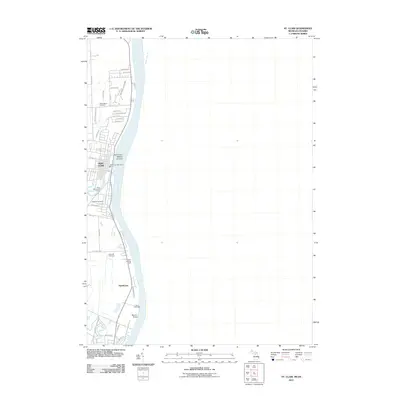 2011 St. Clair2011 Print · USGSThe St. Clair riverfront is documented here in the early twenty-first century, showing the established communities and maritime infrastructure along the Canadian border. Genealogists and local historians can trace family locations near Hillside Cemetery or the settlement of Hawthorne.
 - 2014 Map of St. Clair, 2014 Print
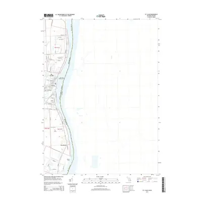 2014 St. Clair2014 Print · USGSSt. Clair and the riverfront in the early 2010s show a well-developed network of local roads and waterways along the Canadian border. Researchers can trace family sites near Saint Marys Cem, Hillside Cem, and the settlement of Hawthorne.
 - 2014 Map of Rattle Run, 2014 Print
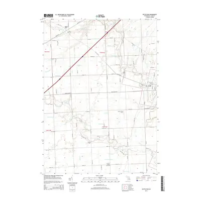 2014 Rattle Run2014 Print · USGSThe rural interior of St. Clair County is shown here in the early twenty-first century, revealing a landscape of winding river bends and historic farm roads. Genealogists can locate several family-named landmarks and burial sites, including Balfour Cem, Bowman Cem, and the settlement of Rattle Run.
 - 2017 Map of Rattle Run, 2017 Print
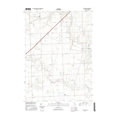 2017 Rattle Run2017 Print · USGSSaint Clair County's rural interior is shown here in the late twenty-tens as modern trails meet historic river landings. Researchers can trace family sites at Rattle Run Cem or Balfour Cem and locate riverfront markers like David's Landing and Wenning Landing Area.
 - 2017 Map of St. Clair, 2017 Print
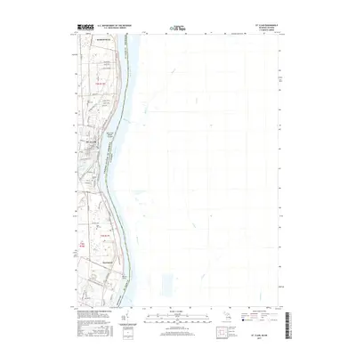 2017 St. Clair2017 Print · USGSThe Michigan-Ontario border corridor comes into focus in the late 2010s, centered on the historic riverfront settlements along the St. Clair River. Researchers can trace local landmarks like Saint Marys Cem, the winding Bridge to Bay Trail, and the neighborhood of Hawthorne.
 - 2019 Map of St. Clair, 2019 Print
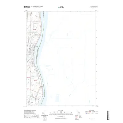 2019 St. Clair2019 Print · USGSThe riverfront city of St. Clair and its international border crossing are documented here in the late twenty-teens. Genealogists and local historians can locate Saint Marys Cem, trace the Bridge to Bay Trail, or explore the shoreline near Hawthorne.
 - 2019 Map of Rattle Run, 2019 Print
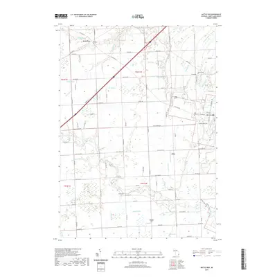 2019 Rattle Run2019 Print · USGSSaint Clair County at the turn of the decade shows a landscape shaped by the Pine River and Belle River drainage basins. Genealogists and local researchers can locate numerous family-named landmarks and burial sites including Balfour Cem and Bowman Cem.
Showing maps 1-25 of 27
Top cities near Saint Clair
- Port Huron historical maps
- New Baltimore historical maps
- Marysville historical maps
- Kimball historical maps
- West Tappan historical maps
- Casco historical maps
See more
Frequently asked questions
- What are the different types of historical maps available for Saint Clair?
- What is the oldest map of Saint Clair?
- Where can I purchase historical maps of Saint Clair for my home or office?
- Where can I download high-res historical maps of Saint Clair?
- Are there historical topographic maps available for Saint Clair?
- Is there historical aerial imagery available for Saint Clair?
- Where are historical maps of Saint Clair sourced from?