Old Maps of Delaware Township, Michigan for Genealogy
Trace your family roots with 39 historic maps of Delaware Township. These high-res maps reveal old neighborhoods, homesites, landmarks, and streets — helping you uncover where your ancestors lived and how the area evolved over time.
- Explore historic neighborhoods: Identify where your relatives may have lived in the 1800s or 1900s.
- Compare maps over time: Trace the changes in streets, buildings, and landmarks for multi-generational research.
- Perfect for genealogy & ancestry research: Used by family historians and researchers to map out lineage and migration.
These maps are an incredible resource for exploring your personal connection to Delaware Township's past.
Delaware Township, MI maps
(39)- 1954 Map of Flint, 1968 Print
 1954 Flint1968 Print · USGSThe industrial corridor and fertile Thumb region of Michigan come alive in this mid-century survey. Genealogists and historians can trace the rail networks of the Grand Trunk, locate established settlements like Bad Axe and Sandusky, or explore the 1950s shoreline along Saginaw Bay.4 unique versions available
 - 1958 Map of Flint
 1958 Flint1958 Print · USGSThe Michigan Thumb and the Saginaw Valley are captured here during the height of the post-war industrial era. Researchers can trace the complex rail networks of the Grand Trunk Western or locate mid-century landmarks like Lakeport State Park and the port at Bay City.2 unique versions available
 - 1963 Map of Forestville, 1964 Print
 1963 Forestville1964 Print · USGSThe Lake Huron shoreline in the early sixties shows a landscape of small coastal settlements and family farms. Researchers can trace landownership through family-named routes like Potts Road and Munford Road, or locate ancestors at White Rock Cem.2 unique versions available
 - 1963 Map of Ruth, 1964 Print
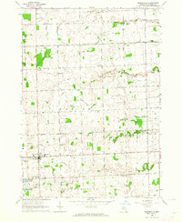
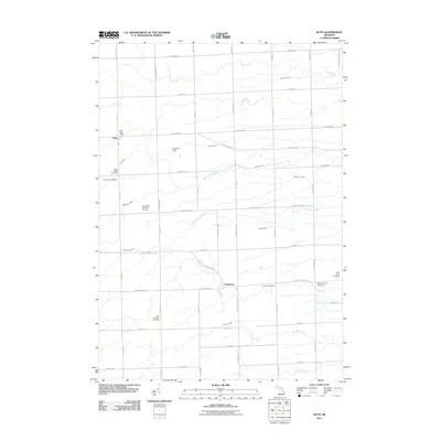
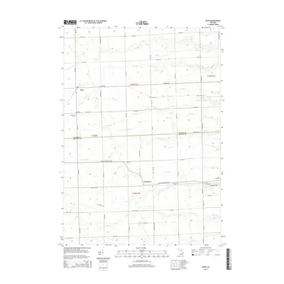
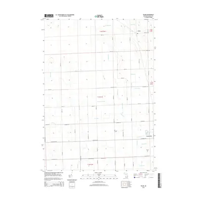
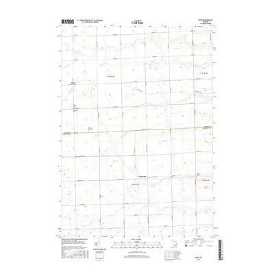
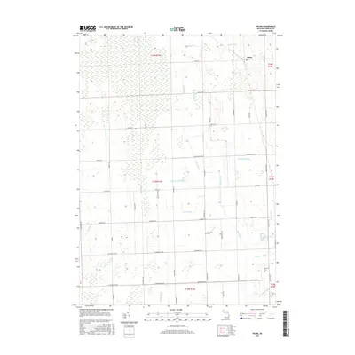
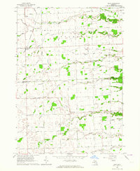 1963 Ruth1964 Print · USGSAgricultural life in the Michigan Thumb is documented here during the early sixties, centered on the village of Ruth. Researchers can trace the Chesapeake and Ohio rail line and locate rural landmarks like SS Peter and Paul Cem and Charleston.2 unique versions available
 - 1963 Map of Minden City, 1964 Print
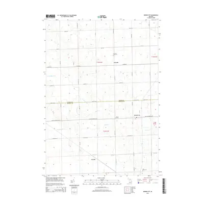
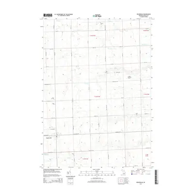
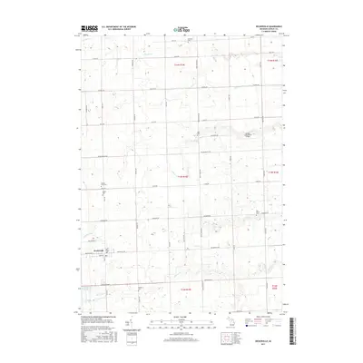
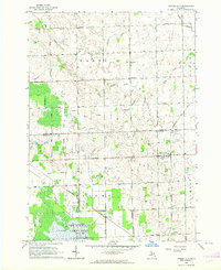 1963 Minden City1964 Print · USGSMinden City and Parisville sit at the center of this 1960s agricultural survey on the Sanilac and Huron county line. Local researchers can trace family landmarks like St Patricks Ch, the Palms Sch, and the unique industrial Peat Bog near Peatville.
 - 1963 Map of Palms, 1964 Print
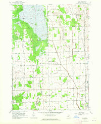 1963 Palms1964 Print · USGSSanilac County's agricultural heartland is documented here in the early sixties, showing the vital role of the rail line and drainage canals. Trace ancestral roots at the Downing Cem or follow the route of the Chesapeake and Ohio Railroad through Palms.
 - 1963 Map of Deckerville, 1964 Print
 1963 Deckerville1964 Print · USGSSanilac County's agricultural heartland is documented here in the early sixties, centered on the rail-aligned village of Deckerville. Researchers can trace old family sites and rural institutions like St Johns Ch, Delaware Cem, and the Hunt Sch.
 - 1963 Map of Richmondville, 1964 Print
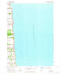
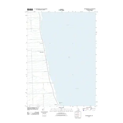
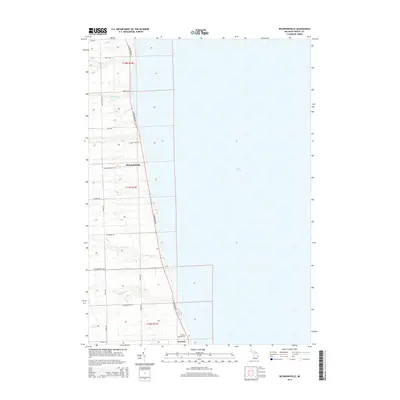
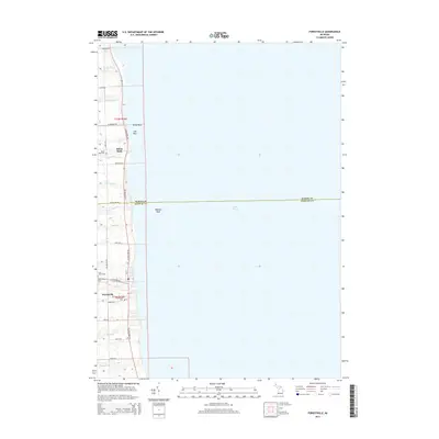
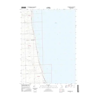
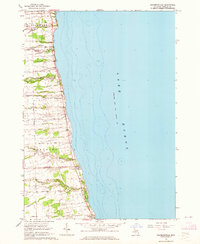 1963 Richmondville1964 Print · USGSThe Michigan shoreline of Sanilac County is captured here in the early 1960s, showing the quiet coastal life of the thumb region. Researchers can trace local landmarks from the Richmondville settlement to the Landing Field and the small Cemetery near Delaware.
 - 1984 Map of Harbor Beach, 1985 Print
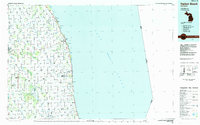 1984 Harbor Beach1985 Print · USGSCoastal Huron and Sanilac counties come into focus in the mid-1980s, showcasing the region's transition from shoreline industry to interior agriculture. Genealogists can trace family names through landmarks like Hallway Corners and small communities such as Bad Axe, Parisville, and Minden City.2 unique versions available
 - 2011 Map of Palms, 2011 Print
 2011 Palms2011 Print · USGSCovers Delaware Township, including Deckerville, Chevington, and other nearby areas
 - 2011 Map of Minden City, 2011 Print
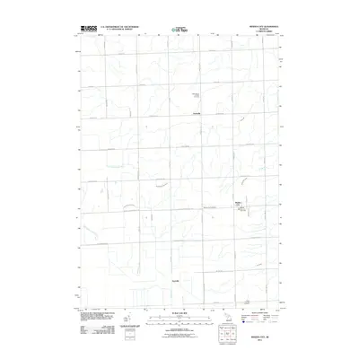 2011 Minden City2011 Print · USGSCovers Delaware Township, including Minden City, Paris Township, and other nearby areas
 - 2011 Map of Deckerville, 2011 Print
 2011 Deckerville2011 Print · USGSCovers Delaware Township, including Deckerville, Forester Township, and other nearby areas
 - 2011 Map of Forestville, 2011 Print
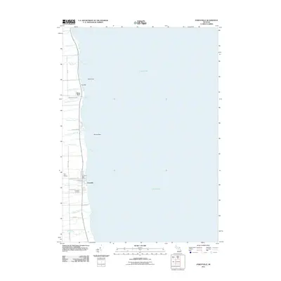 2011 Forestville2011 Print · USGSCovers Delaware Township, including Forestville, White Rock, and other nearby areas
 - 2011 Map of Richmondville, 2011 Print
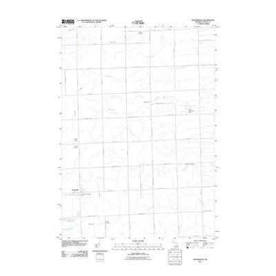
 2011 Richmondville2011 Print · USGSCovers Delaware Township, including Richmondville, Forester Township, and other nearby areas
 - 2011 Map of Ruth, 2011 Print
 2011 Ruth2011 Print · USGSCovers Delaware Township, including Sherman Township, Ruth, and other nearby areas
 - 2014 Map of Minden City, 2014 Print
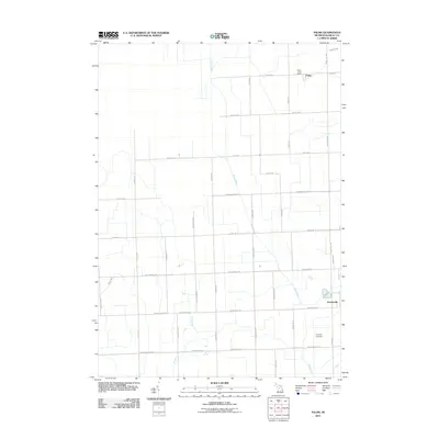
 2014 Minden City2014 Print · USGSCovers Delaware Township, including Minden City, Paris Township, and other nearby areas
 - 2014 Map of Richmondville, 2014 Print
 2014 Richmondville2014 Print · USGSCovers Delaware Township, including Richmondville, Forester Township, and other nearby areas
 - 2014 Map of Ruth, 2014 Print
 2014 Ruth2014 Print · USGSCovers Delaware Township, including Sherman Township, Ruth, and other nearby areas
 - 2014 Map of Palms, 2014 Print
 2014 Palms2014 Print · USGSCovers Delaware Township, including Deckerville, Chevington, and other nearby areas
 - 2014 Map of Deckerville, 2014 Print
 2014 Deckerville2014 Print · USGSCovers Delaware Township, including Deckerville, Forester Township, and other nearby areas
 - 2014 Map of Forestville, 2014 Print
 2014 Forestville2014 Print · USGSCovers Delaware Township, including Forestville, White Rock, and other nearby areas
 - 2017 Map of Ruth, 2017 Print
 2017 Ruth2017 Print · USGSCovers Delaware Township, including Sherman Township, Ruth, and other nearby areas
 - 2017 Map of Richmondville, 2017 Print
 2017 Richmondville2017 Print · USGSCovers Delaware Township, including Richmondville, Forester Township, and other nearby areas
 - 2017 Map of Deckerville, 2017 Print
 2017 Deckerville2017 Print · USGSCovers Delaware Township, including Deckerville, Forester Township, and other nearby areas
 - 2017 Map of Palms, 2017 Print
 2017 Palms2017 Print · USGSCovers Delaware Township, including Deckerville, Chevington, and other nearby areas
Showing maps 1-25 of 39
Top cities near Delaware Township
- Sandusky historical maps
- Harbor Beach historical maps
- Verona historical maps
- Forester historical maps
- Deckerville historical maps
- Port Sanilac historical maps
See more
Top neighborhoods of Delaware Township
Frequently asked questions
- What are the different types of historical maps available for Delaware Township?
- What is the oldest map of Delaware Township?
- Where can I purchase historical maps of Delaware Township for my home or office?
- Where can I download high-res historical maps of Delaware Township?
- Are there historical topographic maps available for Delaware Township?
- Is there historical aerial imagery available for Delaware Township?
- Where are historical maps of Delaware Township sourced from?