Old Maps of Steuben, Inwood Township for Academic Research
Study the evolution of Steuben with 13 high-resolution historic maps. Whether you're teaching, researching, or modeling changes in land use, these maps provide essential visual documentation of urban, environmental, and geographic change.
- Analyze long-term change: Track patterns in development, transportation, and natural features.
- Ideal for environmental or urban studies: Support academic projects with primary historical map data.
- Use in the classroom or lab: Educators and researchers rely on these maps to bring historical context to life.
These maps are a powerful tool for teaching, research, and visualizing how Steuben has changed over the decades.
Steuben, Inwood Township maps
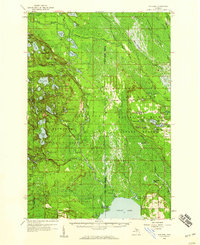
(13)- 1931 Map of Steuben NW
 1931 Steuben NW1931 Print · USGSThe Upper Peninsula wilderness in the early 1930s is defined here by its intricate network of lakes and the essential Manistique and Lake Superior railroad. You can trace the development of the Steuben settlement or locate historic camps like Jack Pine Lodge and the Woods Club along the Indian River.
 - 1958 Map of Steuben, 1959 Print
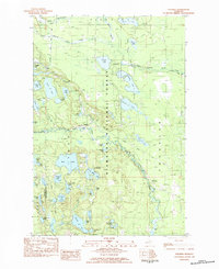
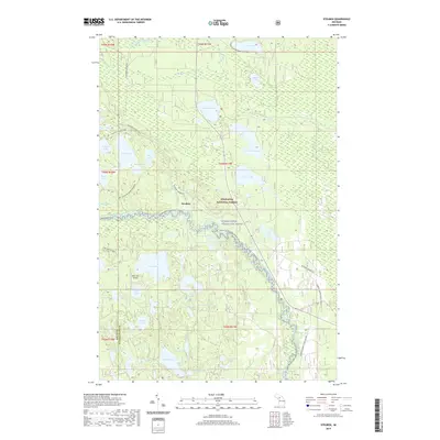
 1958 Steuben1959 Print · USGSIn the central Upper Peninsula during the late fifties, this wilderness landscape shows the intersection of conservation and industry. Trace the remote settlement of Steuben, the Hiawatha (Station), and the fire-watching height of the Steuben Lookout Tower.2 unique versions available
 - 1958 Map of Marquette, 1968 Print
 1958 Marquette1968 Print · USGSThe Upper Peninsula’s central corridor is captured here in the mid-twentieth century as mining and timber industries thrived alongside new military installations. Genealogists and historians can trace the rail lines of the Soo Line Railroad through settlements like Gwinn, Turin, and Chatham.2 unique versions available
 - 1960 Map of Marquette
 1960 Marquette1960 Print · USGSUpper Peninsula mining and maritime commerce reach their peak in the late fifties across the Lake Superior shoreline. Genealogists and historians can locate remote settlements like Big Bay and Dukes, while tracing the Cyr Mine and the active rail lines of the Lake Superior and Ishpeming railroad.
 - 1961 Map of Marquette
 1961 Marquette1961 Print · USGSUpper Peninsula life in the early sixties centered on the iron docks and timber stands of the Lake Superior shore. Genealogists and historians can trace rail-to-port connections via the Lake Superior and Ishpeming Railroad and locate active sites like Republic Mine or the K.I. Sawyer Air Force Base.
 - 1968 Map of Marquette, 1977 Print
 1968 Marquette1977 Print · USGSThe Upper Peninsula iron range and Lake Superior coastline are captured here in the late sixties. Genealogists and historians can trace the rail-to-port infrastructure and the Cold War presence of K I Sawyer Air Force Base alongside towns like Ishpeming and Munising.
 - 1983 Map of Munising
 1983 Munising1983 Print · USGSThe Upper Peninsula lakefront and deep timberlands are documented here in the early eighties, centered on the Munising harbor. Genealogists and historians can trace rail stops along the Soo Line and remote outposts like Shingleton, Eben Junction, and Traunik.2 unique versions available
 - 1983 Map of Steuben, 1984 Print
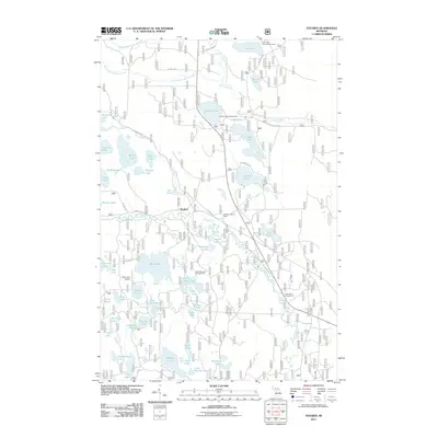
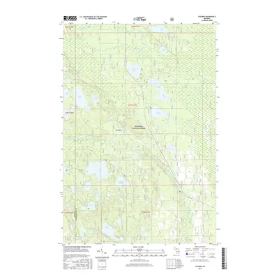
 1983 Steuben1984 Print · USGSThe northern woods of Schoolcraft County are captured here in the early eighties, centered on the settlement of Steuben. Genealogists and historians can trace the historic Haywire Grade, find the Snowmobile Race Track, and locate old sites like Camp 83.
 - 2011 Map of Steuben, 2011 Print
 2011 Steuben2011 Print · USGSCovers Steuben, including Garden Township, Thompson Township, and other nearby areas
 - 2014 Map of Steuben, 2014 Print
 2014 Steuben2014 Print · USGSCovers Steuben, including Garden Township, Thompson Township, and other nearby areas
 - 2017 Map of Steuben, 2017 Print
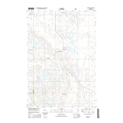
 2017 Steuben2017 Print · USGSCovers Steuben, including Garden Township, Thompson Township, and other nearby areas
 - 2019 Map of Steuben, 2019 Print
 2019 Steuben2019 Print · USGSCovers Steuben, including Garden Township, Thompson Township, and other nearby areas
 - 2023 Map of Steuben, 2023 Print
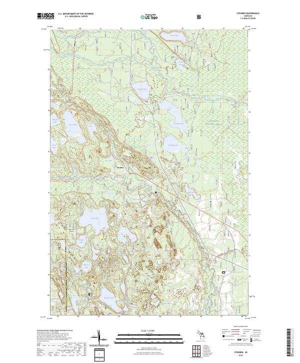 2023 Steuben2023 Print · USGSUpper Peninsula timberlands and glacial lakes define this region within the Hiawatha National Forest in the early twenty-first century. Genealogists and outdoor historians can trace the remote settlement of Steuben or locate landmarks like the Bass Lake Airport and the Haywire Grade Atv Trl.
End of results
Showing maps 1-13 of 13
Top cities near Steuben
Frequently asked questions
- What are the different types of historical maps available for Steuben?
- What is the oldest map of Steuben?
- Where can I purchase historical maps of Steuben for my home or office?
- Where can I download high-res historical maps of Steuben?
- Are there historical topographic maps available for Steuben?
- Is there historical aerial imagery available for Steuben?
- Where are historical maps of Steuben sourced from?