2020s Maps of Thompson Township, Michigan
Explore 8 historic maps of Thompson Township from the 2020s. These maps offer a rare glimpse into what life looked like during the 2020s — showing old roads, neighborhoods, homes, and landmarks that have changed or disappeared over time.
Whether you're researching your family's past, planning a metal detecting trip, or studying how Thompson Township's landscape evolved across the 2020s, these high-resolution maps are a powerful tool for exploring the history of this region.
- Focus on a specific era: All maps on this page are from the 2020s, giving you a focused view of this time period.
- See what’s changed: Compare century-old streets, trails, and buildings to today's modern landscape using overlays and satellite layers.
- Research with precision: Use these maps for genealogy, historical research, land use analysis, or educational projects.
- View, download, or print: Maps are fully viewable online in high resolution, and can be downloaded or printed for your own records.
Start exploring Thompson Township's history through authentic maps from the 2020s. This is your window into the past.
Thompson Township, MI maps
(8)- 2023 Map of Point Aux Barques, 2023 Print
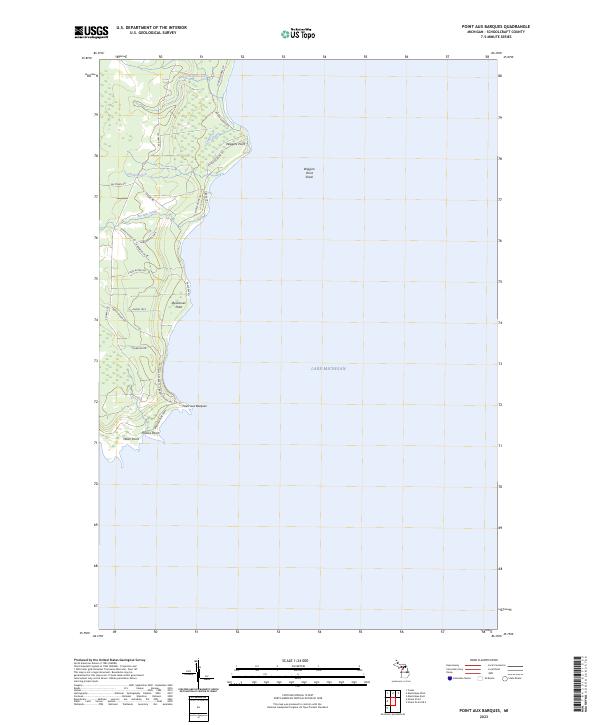 2023 Point Aux Barques2023 Print · USGSThe Schoolcraft County coast appears here in contemporary detail, showing the intricate shoreline where the woods meet the lake. You can trace local landmarks like Point Aux Barques and the navigational hazards of Wiggins Point Shoal while exploring the network of roads around Dead Horse Creek.
 - 2023 Map of Thunder Lake, 2023 Print
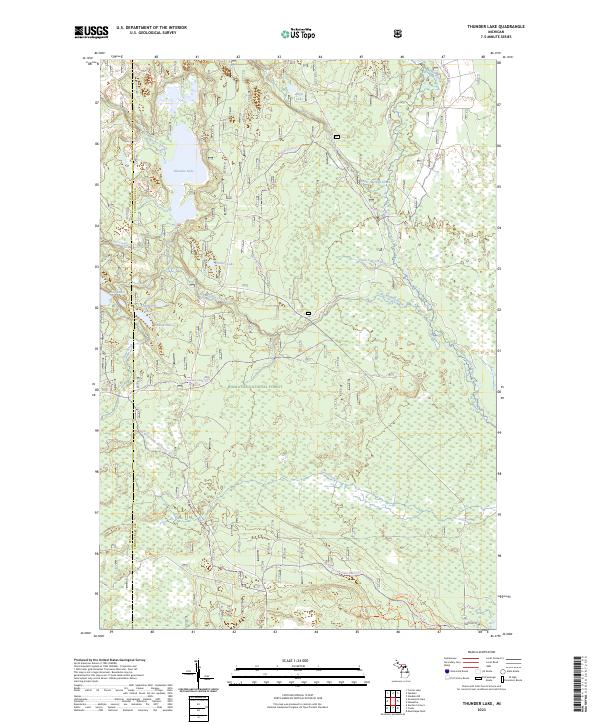 2023 Thunder Lake2023 Print · USGSThe northern Michigan wilderness at the Delta and Schoolcraft county line is revealed in this contemporary survey of the Hiawatha National Forest. Outdoor enthusiasts and historians can trace an intricate network of waterways and trails, from the Indian Wild and Scenic River to the Big Spring-baldy Lake Snomo Trl.
 - 2023 Map of Cooks, 2023 Print
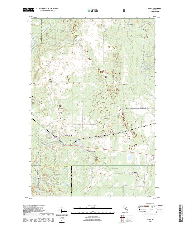 2023 Cooks2023 Print · USGSUpper Peninsula timberlands and small settlements are captured here in the early twenty-first century. Genealogists and researchers can trace local roots at Cooks Cem, Old Cooks Cem, and the Seventh Day Adventist Cem near the town of Cooks.
 - 2023 Map of Hiram Point, 2023 Print
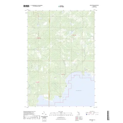 2023 Hiram Point2023 Print · USGSThe Upper Peninsula coastline in Delta and Schoolcraft counties is shown here during the early 2020s. Researchers can trace landforms like Hiram Point or locate the historic Farley Grave Site near the quiet waters of Little Harbor.
 - 2023 Map of Manistique West, 2023 Print
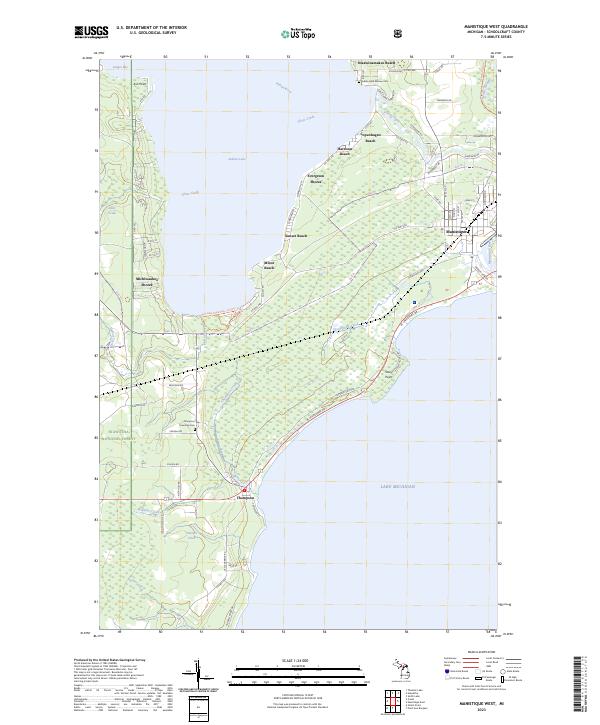 2023 Manistique West2023 Print · USGSCoastal Schoolcraft County and the western reaches of Manistique are captured here in the early twenty-first century. Researchers can trace the shoreline developments of Evergreen Shores and Michiwaukee Shores or locate the historic Indian Lake Mission Cemetery.
 - 2023 Map of Hiawatha, 2023 Print
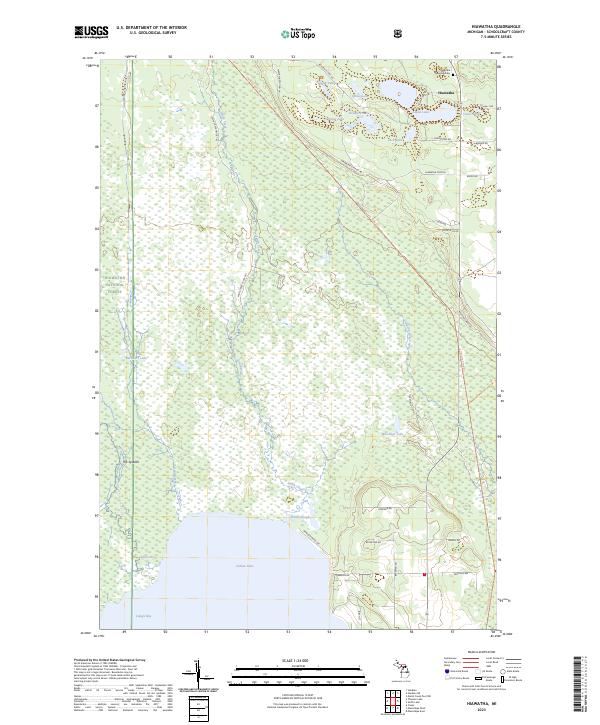 2023 Hiawatha2023 Print · USGSSchoolcraft County's Upper Peninsula lakeland comes into focus in this contemporary survey of the northern woods. Researchers can trace the layout of the Hiawatha settlement, locate the Hiawatha Township Cem, and follow the path of the Haywire State Trl.
 - 2023 Map of Steuben NE, 2023 Print
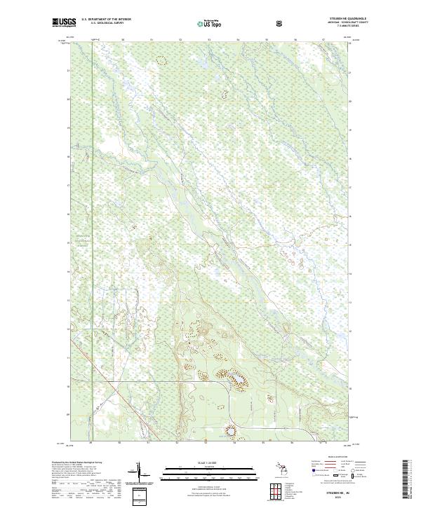 2023 Steuben NE2023 Print · USGSSchoolcraft County in the early twenty-first century remains a wilderness of interconnected waterways and forest trails. Trace the paths of the Haywire Grade Trl and Haywire State Trl past Ashford Lake and the winding Stutts Creek.
 - 2023 Map of Steuben, 2023 Print
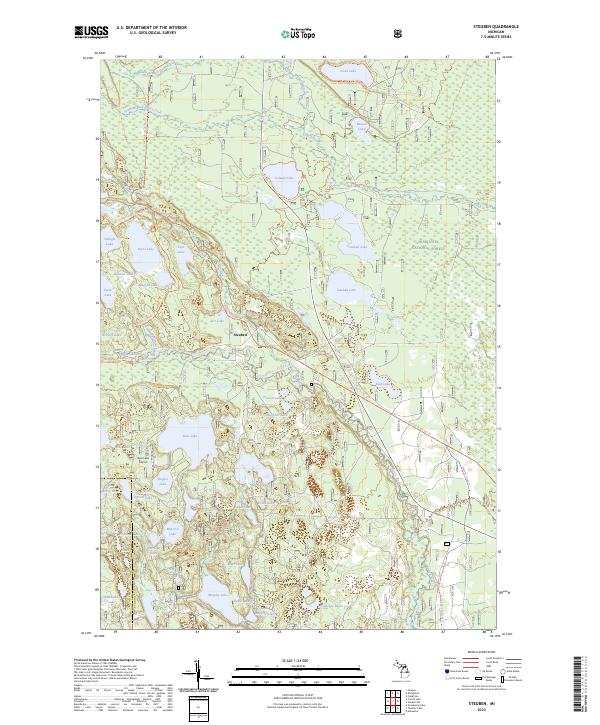 2023 Steuben2023 Print · USGSUpper Peninsula timberlands and glacial lakes define this region within the Hiawatha National Forest in the early twenty-first century. Genealogists and outdoor historians can trace the remote settlement of Steuben or locate landmarks like the Bass Lake Airport and the Haywire Grade Atv Trl.
End of results
Showing maps 1-8 of 8
Top cities near Thompson Township
Top neighborhoods of Thompson Township
- Minor Beach historical maps
- Richardsons Mill historical maps
- Michiwaukee Shores historical maps
- Sunset Beach historical maps
- Thompson historical maps
Frequently asked questions
- What are the different types of historical maps available for Thompson Township?
- What is the oldest map of Thompson Township?
- Where can I purchase historical maps of Thompson Township for my home or office?
- Where can I download high-res historical maps of Thompson Township?
- Are there historical topographic maps available for Thompson Township?
- Is there historical aerial imagery available for Thompson Township?
- Where are historical maps of Thompson Township sourced from?