Old Maps of Fremont Township, Michigan for Hiking & Exploration
Hike through history with 28 historic maps of Fremont Township. Explore old trails, ghost towns, and forgotten backroads — perfect for outdoor adventurers and local explorers.
- Rediscover forgotten places: Map out old mining camps, roads, and footpaths that no longer exist on modern maps.
- Layer with modern tools: Combine with LiDAR or satellite views to plan hikes through historical terrain.
- Made for exploration: Popular among hikers, overlanders, and local history lovers.
Use these maps to find adventure and explore the hidden past of Fremont Township.
Fremont Township, MI maps
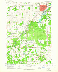
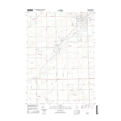
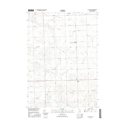
(28)- 1954 Map of Flint, 1968 Print
 1954 Flint1968 Print · USGSThe industrial corridor and fertile Thumb region of Michigan come alive in this mid-century survey. Genealogists and historians can trace the rail networks of the Grand Trunk, locate established settlements like Bad Axe and Sandusky, or explore the 1950s shoreline along Saginaw Bay.4 unique versions available
 - 1958 Map of Flint
 1958 Flint1958 Print · USGSThe Michigan Thumb and the Saginaw Valley are captured here during the height of the post-war industrial era. Researchers can trace the complex rail networks of the Grand Trunk Western or locate mid-century landmarks like Lakeport State Park and the port at Bay City.2 unique versions available
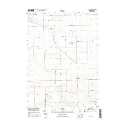
 - 1963 Map of East Dayton, 1964 Print
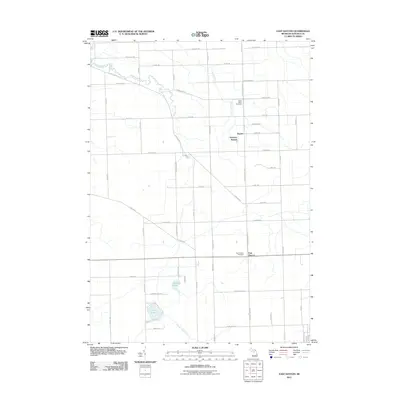
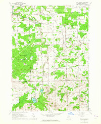 1963 East Dayton1964 Print · USGSTuscola County is shown in the early sixties as a mosaic of managed game areas and productive farmland. Genealogists and local historians can trace rural roots through landmarks like Bethel Ch, Frankfort Sch, and the quiet crossroads of East Dayton.
 - 1963 Map of Mayville, 1964 Print
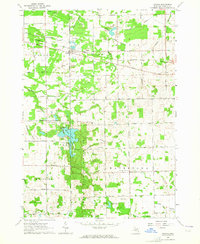
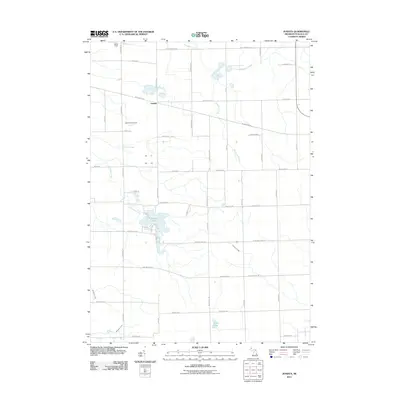
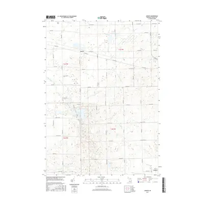
 1963 Mayville1964 Print · USGSThe rural borderlands of Tuscola and Lapeer counties are captured here in the early sixties, centered on the village of Mayville. Researchers can trace old family sites and rural landmarks like the Rich Ch, Frenzel Sch, and several historic burying grounds including Rich Cem.
 - 1963 Map of Caro, 1964 Print
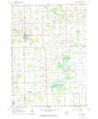
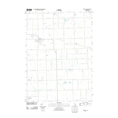
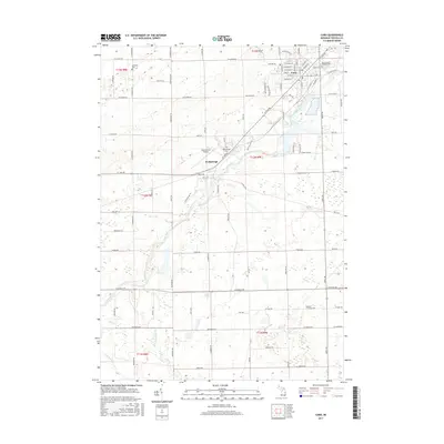
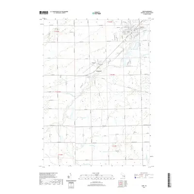
 1963 Caro1964 Print · USGSTuscola County centered on the village of Caro in the early sixties shows a landscape of river-fed industry and state institutions. Researchers can locate the Caro State Hospital, the tracks of the New York Central railroad, and local landmarks like Indianfields Cemetery.3 unique versions available
 - 1963 Map of Juniata, 1964 Print
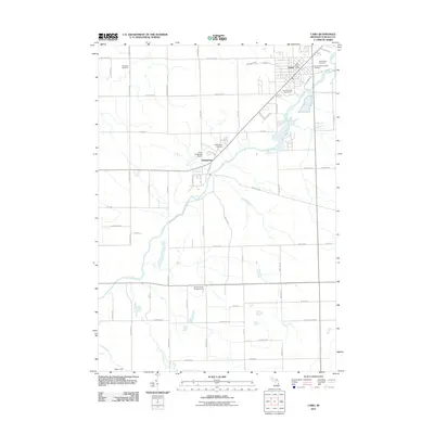
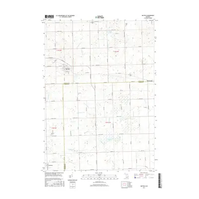
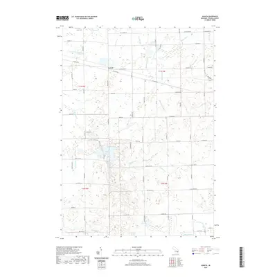
 1963 Juniata1964 Print · USGSTuscola County's rural landscape is captured here in the early sixties, showing a world of small-scale agriculture and aggregate mining. Genealogists and local historians can locate the Watertown Center Sch and trace the original Chesapeake and Ohio rail line past Juniata.2 unique versions available
 - 1984 Map of Flint, 1985 Print
 1984 Flint1985 Print · USGSThe industrial corridor between Flint and Saginaw is captured here during the mid-1980s, showcasing a landscape of growing suburbs and preserved wildlands. Researchers can trace the Grand Trunk Western RR or locate local landmarks like St Johns Ch and Flint Memorial Park Cem.
 - 1990 Map of Flint, 1991 Print
 1990 Flint1991 Print · USGSThe Flint and Saginaw corridors are captured here in the early nineties, showing a landscape defined by heavy industry and rural expanses. Genealogists and historians can trace the rail lines of the Penn Central RR, visit Flint Memorial Park Cem, or explore the limits of Zilwaukee.
 - 2011 Map of Juniata, 2011 Print
 2011 Juniata2011 Print · USGSCovers Fremont Township, including Juniata, Vassar Township, and other nearby areas
 - 2011 Map of Caro, 2011 Print
 2011 Caro2011 Print · USGSCovers Fremont Township, including Caro, Vassar Township, and other nearby areas
 - 2011 Map of East Dayton, 2011 Print
 2011 East Dayton2011 Print · USGSCovers Fremont Township, including Dayton, Ellington Township, and other nearby areas
 - 2011 Map of Mayville, 2011 Print
 2011 Mayville2011 Print · USGSCovers Fremont Township, including Mayville, Fostoria, and other nearby areas
 - 2014 Map of Caro, 2014 Print
 2014 Caro2014 Print · USGSCovers Fremont Township, including Caro, Vassar Township, and other nearby areas
 - 2014 Map of East Dayton, 2014 Print
 2014 East Dayton2014 Print · USGSCovers Fremont Township, including Dayton, Ellington Township, and other nearby areas
 - 2014 Map of Juniata, 2014 Print
 2014 Juniata2014 Print · USGSCovers Fremont Township, including Juniata, Vassar Township, and other nearby areas
 - 2014 Map of Mayville, 2014 Print
 2014 Mayville2014 Print · USGSCovers Fremont Township, including Mayville, Fostoria, and other nearby areas
 - 2017 Map of East Dayton, 2017 Print
 2017 East Dayton2017 Print · USGSCovers Fremont Township, including Dayton, Ellington Township, and other nearby areas
 - 2017 Map of Caro, 2017 Print
 2017 Caro2017 Print · USGSCovers Fremont Township, including Caro, Vassar Township, and other nearby areas
 - 2017 Map of Mayville, 2017 Print
 2017 Mayville2017 Print · USGSCovers Fremont Township, including Mayville, Fostoria, and other nearby areas
 - 2017 Map of Juniata, 2017 Print
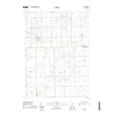
 2017 Juniata2017 Print · USGSCovers Fremont Township, including Juniata, Vassar Township, and other nearby areas
 - 2019 Map of Juniata, 2019 Print
 2019 Juniata2019 Print · USGSCovers Fremont Township, including Juniata, Vassar Township, and other nearby areas
 - 2019 Map of Mayville, 2019 Print
 2019 Mayville2019 Print · USGSCovers Fremont Township, including Mayville, Fostoria, and other nearby areas
 - 2019 Map of East Dayton, 2019 Print
 2019 East Dayton2019 Print · USGSCovers Fremont Township, including Dayton, Ellington Township, and other nearby areas
 - 2019 Map of Caro, 2019 Print
 2019 Caro2019 Print · USGSCovers Fremont Township, including Caro, Vassar Township, and other nearby areas
 - 2023 Map of East Dayton, 2023 Print
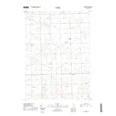
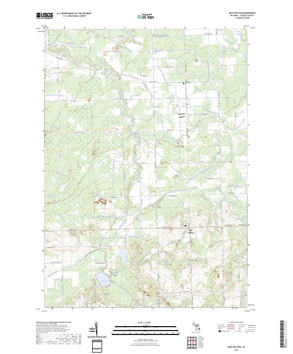 2023 East Dayton2023 Print · USGSTuscola County's agricultural heartland is captured in this recent survey, showcasing the enduring rural character of the Thumb region. Researchers can locate family burial sites at East Dayton Cem and North Wells Cem or trace the complex drainage networks of Sucker Creek and Daytona Branch.
Showing maps 1-25 of 28
Top cities near Fremont Township
- Caro historical maps
- Vassar historical maps
- Cass City historical maps
- Dayton historical maps
- Juniata historical maps
- Ellington historical maps
See more
Top neighborhoods of Fremont Township
Frequently asked questions
- What are the different types of historical maps available for Fremont Township?
- What is the oldest map of Fremont Township?
- Where can I purchase historical maps of Fremont Township for my home or office?
- Where can I download high-res historical maps of Fremont Township?
- Are there historical topographic maps available for Fremont Township?
- Is there historical aerial imagery available for Fremont Township?
- Where are historical maps of Fremont Township sourced from?