Old Maps of Tuscola Township, Michigan for Hiking & Exploration
Hike through history with 28 historic maps of Tuscola Township. Explore old trails, ghost towns, and forgotten backroads — perfect for outdoor adventurers and local explorers.
- Rediscover forgotten places: Map out old mining camps, roads, and footpaths that no longer exist on modern maps.
- Layer with modern tools: Combine with LiDAR or satellite views to plan hikes through historical terrain.
- Made for exploration: Popular among hikers, overlanders, and local history lovers.
Use these maps to find adventure and explore the hidden past of Tuscola Township.
Tuscola Township, MI maps
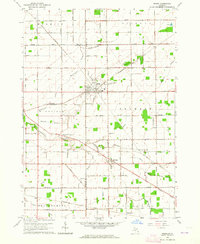
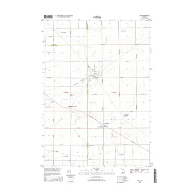
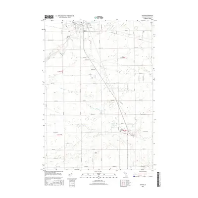
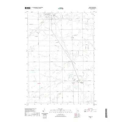
(28)- 1954 Map of Flint, 1968 Print
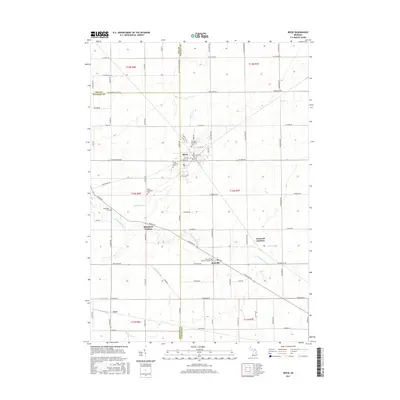
 1954 Flint1968 Print · USGSThe industrial corridor and fertile Thumb region of Michigan come alive in this mid-century survey. Genealogists and historians can trace the rail networks of the Grand Trunk, locate established settlements like Bad Axe and Sandusky, or explore the 1950s shoreline along Saginaw Bay.4 unique versions available
 - 1958 Map of Flint
 1958 Flint1958 Print · USGSThe Michigan Thumb and the Saginaw Valley are captured here during the height of the post-war industrial era. Researchers can trace the complex rail networks of the Grand Trunk Western or locate mid-century landmarks like Lakeport State Park and the port at Bay City.2 unique versions available
 - 1963 Map of Reese, 1964 Print
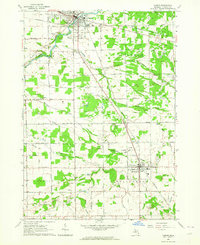
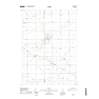
 1963 Reese1964 Print · USGSMid-Michigan's agricultural heartland is documented here in the early sixties at the intersection of the New York Central and Chesapeake and Ohio railroads. Genealogists and historians can trace local landmarks from Blumfield Corners to Richville, including family-named drains and the St Elizabeth Cem.2 unique versions available
 - 1963 Map of Gilford, 1964 Print
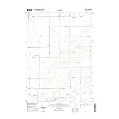
 1963 Gilford1964 Print · USGSTuscola County agricultural and game lands are captured here in the early sixties, showing the transition from river bottoms to structured farm sections. Researchers can locate the Watrousville Cem, the Tappan Sch, and the old rail siding at Gilford.2 unique versions available
 - 1963 Map of Frankenmuth, 1964 Print
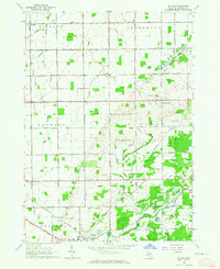
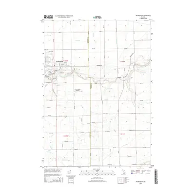
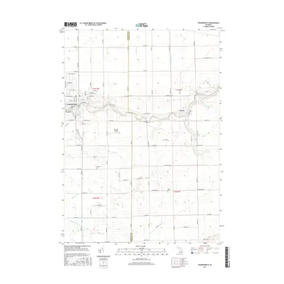
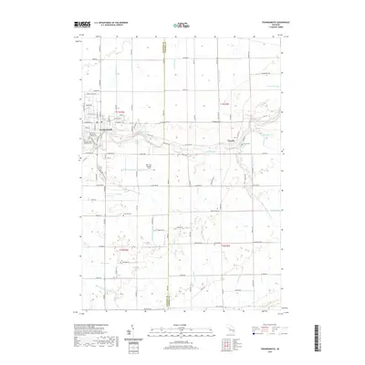
 1963 Frankenmuth1964 Print · USGSThe Saginaw Valley during the mid-1960s reveals a landscape of tidy farmsteads and an extensive network of drainage canals. Genealogists can trace family footprints near St Lorenz Sch, Tuscola Cem, and along the banks of the Cass River.2 unique versions available
 - 1963 Map of Vassar, 1964 Print
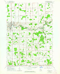
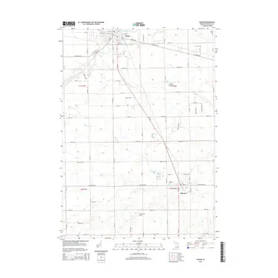
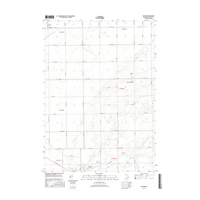
 1963 Vassar1964 Print · USGSThe Tuscola County countryside around Vassar and Millington is shown here in the early sixties as a thriving landscape of rail lines and drainage canals. Genealogists can trace family footprints near Riverside Cem, the Mennonite Mission, and several local schools like Pinkerton Sch.2 unique versions available
 - 1984 Map of Flint, 1985 Print
 1984 Flint1985 Print · USGSThe industrial corridor between Flint and Saginaw is captured here during the mid-1980s, showcasing a landscape of growing suburbs and preserved wildlands. Researchers can trace the Grand Trunk Western RR or locate local landmarks like St Johns Ch and Flint Memorial Park Cem.
 - 1990 Map of Flint, 1991 Print
 1990 Flint1991 Print · USGSThe Flint and Saginaw corridors are captured here in the early nineties, showing a landscape defined by heavy industry and rural expanses. Genealogists and historians can trace the rail lines of the Penn Central RR, visit Flint Memorial Park Cem, or explore the limits of Zilwaukee.
 - 2011 Map of Vassar, 2011 Print
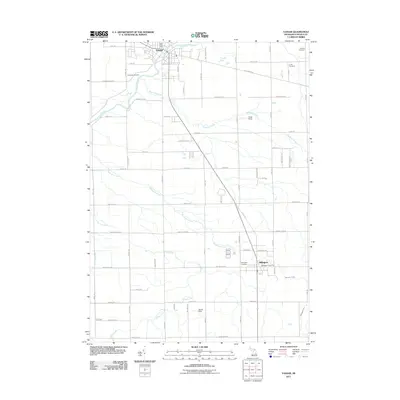 2011 Vassar2011 Print · USGSCovers Tuscola Township, including Vassar, Millington, and other nearby areas
 - 2011 Map of Gilford, 2011 Print
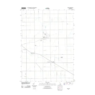
 2011 Gilford2011 Print · USGSCovers Tuscola Township, including Vassar, Gilford, and other nearby areas
 - 2011 Map of Frankenmuth, 2011 Print
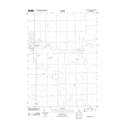 2011 Frankenmuth2011 Print · USGSCovers Tuscola Township, including Frankenmuth, City of Frankenmuth, and other nearby areas
 - 2011 Map of Reese, 2011 Print
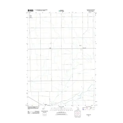
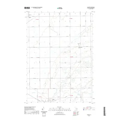
 2011 Reese2011 Print · USGSCovers Tuscola Township, including Reese, Gilford Township, and other nearby areas
 - 2014 Map of Reese, 2014 Print
 2014 Reese2014 Print · USGSCovers Tuscola Township, including Reese, Gilford Township, and other nearby areas
 - 2014 Map of Frankenmuth, 2014 Print
 2014 Frankenmuth2014 Print · USGSCovers Tuscola Township, including Frankenmuth, City of Frankenmuth, and other nearby areas
 - 2014 Map of Gilford, 2014 Print
 2014 Gilford2014 Print · USGSCovers Tuscola Township, including Vassar, Gilford, and other nearby areas
 - 2014 Map of Vassar, 2014 Print
 2014 Vassar2014 Print · USGSCovers Tuscola Township, including Vassar, Millington, and other nearby areas
 - 2017 Map of Vassar, 2017 Print
 2017 Vassar2017 Print · USGSCovers Tuscola Township, including Vassar, Millington, and other nearby areas
 - 2017 Map of Frankenmuth, 2017 Print
 2017 Frankenmuth2017 Print · USGSCovers Tuscola Township, including Frankenmuth, City of Frankenmuth, and other nearby areas
 - 2017 Map of Reese, 2017 Print
 2017 Reese2017 Print · USGSCovers Tuscola Township, including Reese, Gilford Township, and other nearby areas
 - 2017 Map of Gilford, 2017 Print
 2017 Gilford2017 Print · USGSCovers Tuscola Township, including Vassar, Gilford, and other nearby areas
 - 2019 Map of Vassar, 2019 Print
 2019 Vassar2019 Print · USGSCovers Tuscola Township, including Vassar, Millington, and other nearby areas
 - 2019 Map of Gilford, 2019 Print
 2019 Gilford2019 Print · USGSCovers Tuscola Township, including Vassar, Gilford, and other nearby areas
 - 2019 Map of Reese, 2019 Print
 2019 Reese2019 Print · USGSCovers Tuscola Township, including Reese, Gilford Township, and other nearby areas
 - 2019 Map of Frankenmuth, 2019 Print
 2019 Frankenmuth2019 Print · USGSCovers Tuscola Township, including Frankenmuth, City of Frankenmuth, and other nearby areas
 - 2023 Map of Frankenmuth, 2023 Print
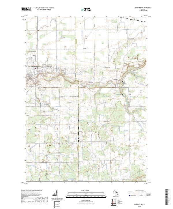 2023 Frankenmuth2023 Print · USGSFrankenmuth and the surrounding river valley are captured here in the early 2020s, showcasing the area's transition between town life and its agricultural roots. Researchers can locate several burial sites like Brookside Cem and family-named landmarks such as Hammond Cem or the Hubenstricker Drain.
Showing maps 1-25 of 28
Top cities near Tuscola Township
- Bay City historical maps
- Frankenmuth historical maps
- City of Frankenmuth historical maps
- Caro historical maps
- Mount Morris historical maps
- Vassar historical maps
See more
Top neighborhoods of Tuscola Township
Frequently asked questions
- What are the different types of historical maps available for Tuscola Township?
- What is the oldest map of Tuscola Township?
- Where can I purchase historical maps of Tuscola Township for my home or office?
- Where can I download high-res historical maps of Tuscola Township?
- Are there historical topographic maps available for Tuscola Township?
- Is there historical aerial imagery available for Tuscola Township?
- Where are historical maps of Tuscola Township sourced from?