Old Maps of Emmons Orchard, Lincoln Park for Academic Research
Study the evolution of Emmons Orchard with 17 high-resolution historic maps. Whether you're teaching, researching, or modeling changes in land use, these maps provide essential visual documentation of urban, environmental, and geographic change.
- Analyze long-term change: Track patterns in development, transportation, and natural features.
- Ideal for environmental or urban studies: Support academic projects with primary historical map data.
- Use in the classroom or lab: Educators and researchers rely on these maps to bring historical context to life.
These maps are a powerful tool for teaching, research, and visualizing how Emmons Orchard has changed over the decades.
Emmons Orchard, Lincoln Park maps
(17)- 1906 Map of Wyandotte
 1906 Wyandotte1906 Print · USGSThe Detroit River shoreline and its industrial borderlands are captured here at the height of the electric railway era. Genealogists and historians can trace the early footprints of Wyandotte, the development of Grosse Isle, and the complex rail networks of the M C R R.2 unique versions available
 - 1912 Map of Wyandotte
 1912 Wyandotte1912 Print · USGSThe industrial corridor south of Detroit thrives along the river just before the Great War. Genealogists and historians can trace the early rail networks of the Michigan Central RR and find specific river landmarks like Grosse Isle and Gibraltar.
 - 1929 Map of Wyandotte
 1929 Wyandotte1929 Print · USGSThe Detroit River shoreline comes alive in this late 1920s survey of the industrial corridor south of the city. Genealogists and historians can trace the early grids of Wyandotte and Amherstburg, or locate riverfront landmarks like Grosse Isle and Slocum Junc.
 - 1936 Map of Wyandotte
 1936 Wyandotte1936 Print · USGSThe industrial corridor south of Detroit is captured here in the mid-1930s as manufacturing and residential grids expanded toward the river. Trace the development of local neighborhoods and landmarks like the Sibley Quarry, Sacred Heart Cem, and the Thorofare Canal on Grosse Ile.
 - 1942 Map of Wyandotte
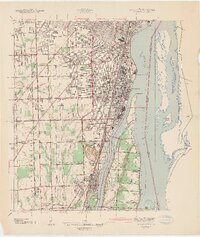 1942 Wyandotte1942 Print · USGSThe Detroit River industrial corridor is shown in detail during the early 1940s, from the city of Wyandotte south to Trenton. Genealogists and historians can trace family-named sites and vanished landmarks like Goddard Farms, the Sibley Quarry, and Heintzen Sch.2 unique versions available
 - 1952 Map of Wyandotte, 1954 Print
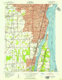 1952 Wyandotte1954 Print · USGSThe downriver industrial corridor south of Detroit thrives in the early fifties as suburbs like Allen Park and Lincoln Park expand. Genealogists and historians can trace neighborhood growth through dozens of local schools and landmarks like Elizabeth Park, Hange Airport, and Bloomdale Cem.2 unique versions available
 - 1954 Map of Detroit
 1954 Detroit1954 Print · USGSThe Detroit metro and its Ontario neighbors are shown at the height of the mid-century industrial era, just as the suburbs were rapidly expanding. Researchers can trace the massive rail networks of the Wabash Railroad or locate landmarks like Grosse Ile and Selfridge Air Force Base.
 - 1961 Map of Detroit, 1973 Print
 1961 Detroit1973 Print · USGSThe international border between Michigan and Ontario was a bustling industrial corridor in the early sixties. Researchers can trace the transit networks and riverfront infrastructure connecting Detroit to Windsor via the Detroit-Windsor Tunnel and major air hubs like Willow Run Airport.2 unique versions available
 - 1965 Map of Detroit
 1965 Detroit1965 Print · USGSThe industrial corridor between Michigan and Ontario is captured here at mid-century, showing the dense rail and river networks of the Great Lakes. Local historians can trace the paths of the Grand Trunk Western RR and locate key landmarks like Selfridge Air Force Base and Grosse Ile.
 - 1967 Map of Wyandotte, 1969 Print
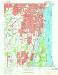 1967 Wyandotte1969 Print · USGSThe Detroit River shoreline was a hive of industrial and suburban development in the late sixties. Genealogists and local historians can trace family roots through numerous parish schools and older burial grounds like Mt Carmel Cem and Bloomdale Cem.4 unique versions available
 - 1985 Map of Detroit
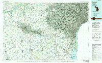 1985 Detroit1985 Print · USGSSoutheast Michigan in the mid-eighties shows a landscape defined by industrial power and suburban reach from the Detroit River to the Huron Valley. Researchers can trace the rail lines of the Conrail, explore the grounds of the University of Michigan, and locate numerous sites like Mt Olivet Cem.
 - 1989 Map of Detroit, 1991 Print
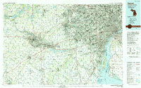 1989 Detroit1991 Print · USGSSoutheast Michigan and across the river into Ontario reached a point of peak metropolitan density at the end of the 1980s. Local researchers can trace the footprint of the University of Michigan campus, the industrial waterfronts of Wyandotte, and the extensive grounds of Glen Eden Cem.
 - 2011 Map of Wyandotte, 2011 Print
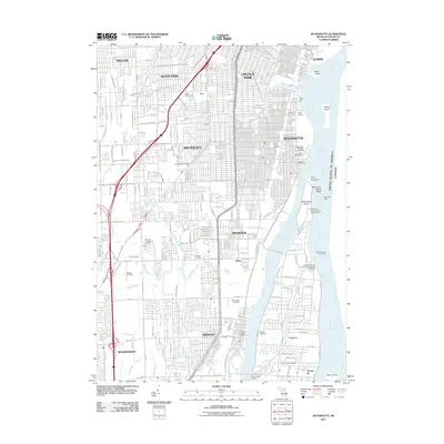 2011 Wyandotte2011 Print · USGSThe industrial Downriver suburbs of Detroit are captured here during a period of dense urban development along the river's edge. Researchers can trace land use through the numerous local cemeteries like Our Lady of Hope Cemetery or locate landmarks like the Grosse Isle Post Office and Detroit Dragway.
 - 2014 Map of Wyandotte, 2014 Print
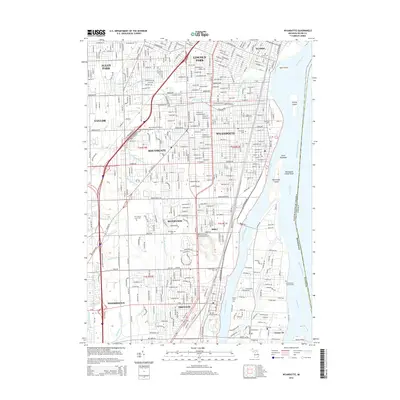 2014 Wyandotte2014 Print · USGSThe Downriver suburbs and Detroit River islands are shown in detail during the early twenty-first century. Genealogists can locate family sites at The Old Burial Ground or Bloomdale Cem and trace the industrial paths of Conrail and the Thorofare Canal.
 - 2017 Map of Wyandotte, 2017 Print
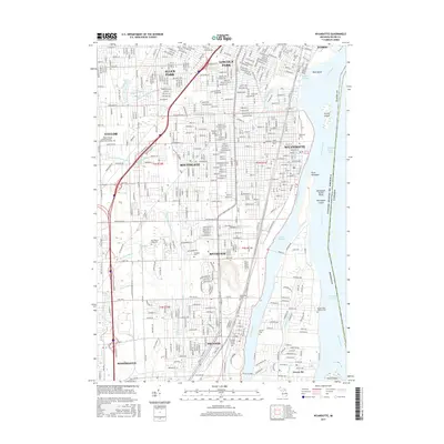 2017 Wyandotte2017 Print · USGSThe industrial Downriver shoreline and the Detroit River islands are shown in detail during the late twenty-teens. Trace local genealogy and history through landmarks like The Old Burial Ground, Sacred Heart Catholic Cem, and the historic waterfront at Elizabeth Park.
 - 2019 Map of Wyandotte, 2019 Print
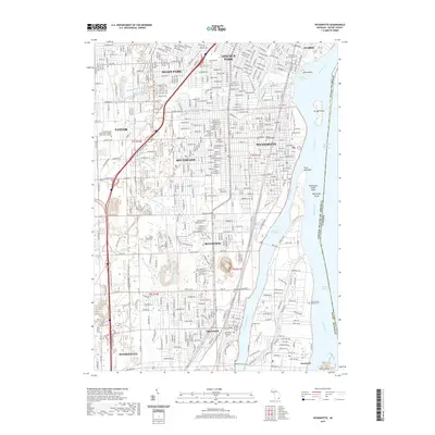 2019 Wyandotte2019 Print · USGSCovers Emmons Orchard, including Taylor, Lincoln Park, and other nearby areas
 - 2023 Map of Wyandotte, 2023 Print
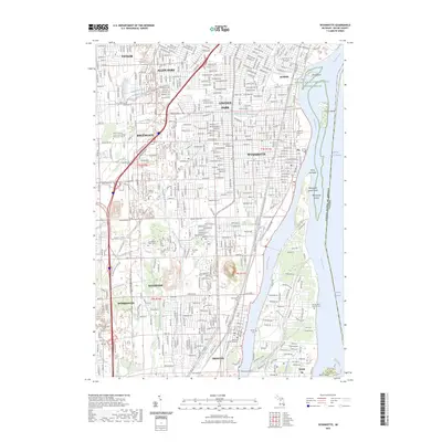 2023 Wyandotte2023 Print · USGSThe Downriver region of Michigan comes into sharp focus during the 2020s, showing the dense suburban and industrial landscape between Detroit and the islands. Genealogists can locate several family landmarks and burial sites, including Bloomdale Cem, Rucker Cem, and the Old Burial Ground.
End of results
Showing maps 1-17 of 17
Frequently asked questions
- What are the different types of historical maps available for Emmons Orchard?
- What is the oldest map of Emmons Orchard?
- Where can I purchase historical maps of Emmons Orchard for my home or office?
- Where can I download high-res historical maps of Emmons Orchard?
- Are there historical topographic maps available for Emmons Orchard?
- Is there historical aerial imagery available for Emmons Orchard?
- Where are historical maps of Emmons Orchard sourced from?