Old Maps of Sumpter Township, Michigan
Explore 48 old maps of Sumpter Township, spanning from 1902 to today. These high-resolution historic maps reveal how streets, neighborhoods, landmarks, and natural features evolved over time — perfect for genealogy, metal detecting, research, and local history exploration.
What you can do with these maps:
- See how Sumpter Township changed over time: Compare historical maps to modern-day views to trace roads, homesites, rail lines & more.
- View detailed metadata: Each map includes creators, publishers, year, scale, and archive source.
- Overlay maps with satellite & LiDAR: Visualize the past alongside modern tools to explore terrain & human change.
- Trusted historical sources: Maps sourced from the USGS, Library of Congress, and other archives.
- Access maps your way: View online, download high-res files, or order prints for personal or research use.
Start exploring old maps of Sumpter Township to uncover forgotten places, hidden landmarks, and the deep history beneath your feet.
Sumpter Township, MI maps
(48)- 1902 Map of Ypsilanti, 1958 Print
 1902 Ypsilanti1958 Print · USGSSoutheast Michigan at the turn of the century shows a landscape defined by thriving rail towns and winding river valleys. Genealogists and historians can trace the early footprints of Ypsilanti or find smaller locales like Rawsonville and Azalia along the Huron River and Michigan Central RR.
 - 1904 Map of Ann Arbor
 1904 Ann Arbor1904 Print · USGSEarly twentieth-century Washtenaw County comes to life through its dense network of interurban electric lines and steam railroads. Researchers can trace the layout of Ann Arbor, locate the Duck Lake School, or find vanished stops along the Michigan Central R. R. and Ann Arbor R. R..2 unique versions available
 - 1906 Map of Ypsilanti
 1906 Ypsilanti1906 Print · USGSSoutheast Michigan at the dawn of the century reveals a landscape defined by its bustling river towns and burgeoning rail networks. Trace the early development of Ypsilanti and Milan or locate vanished stops along the Michigan Central RR and the Wabash RR.3 unique versions available
 - 1906 Map of Romulus
 1906 Romulus1906 Print · USGSSoutheast Michigan at the turn of the century shows a landscape defined by the winding Huron River and a dense network of competing steam and electric railways. Genealogists can trace early homesteads and rail stops in settlements like New Boston, Waltz, and the early crossroads at Carleton.2 unique versions available
 - 1908 Map of Ann Arbor
 1908 Ann Arbor1908 Print · USGSSoutheast Michigan at the turn of the century shows a landscape transitioning through the arrival of electric rail and the growth of the Huron River valley. Genealogists and researchers can trace old family lands near Saline, Ypsilanti, and Whitmore Lake, or follow the path of the Michigan Central RR.
 - 1928 Map of Romulus
 1928 Romulus1928 Print · USGSSoutheast Michigan at the height of its rail-and-river era shows a dense network of transit lines and river towns. Genealogists can trace family roots through settlements like French Landing, Waltz, and South Rockwood or follow the path of the Pere Marquette RR.
 - 1936 Map of Belleville
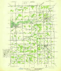 1936 Belleville1936 Print · USGSWestern Wayne County is seen here in the mid-1930s, showing a landscape defined by the Huron River and a burgeoning network of roads and rail. Researchers can locate old family plots and rural institutions like Martinsville Cem, Mt Pleasant Sch, and the Tyler Rd Community Hall.
 - 1936 Map of Maybee
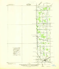 1936 Maybee1936 Print · USGSThe Monroe and Wayne County borderlands are captured here in the mid-1930s, showing a rural landscape defined by rail and drainage. Trace the Detroit Toledo & Ironton RR through Maybee or locate family sites like Palmer Sch and Sandy Hill Cem.
 - 1936 Map of Ypsilanti East
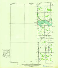 1936 Ypsilanti East1936 Print · USGSThe Washtenaw and Wayne County line in the mid-1930s is defined by the winding waters of Belleville Lake and a complex system of agricultural drains. Genealogists and local historians can locate early landmarks like Soop Cem, Willow Run Sch, and the settlement at Rawsonville.
 - 1936 Map of Carleton
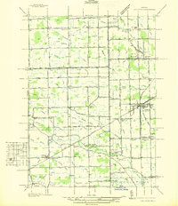 1936 Carleton1936 Print · USGSSoutheast Michigan farm country is captured here during the mid-thirties, showing the rural landscape surrounding the village of Carleton. Researchers can trace old family schoolhouses like Long Bridge Sch and early church sites including St Johns Ch along the Pere Marquette line.
 - 1940 Map of Maybee
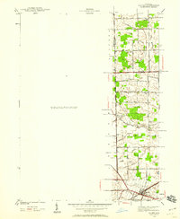 1940 Maybee1940 Print · USGSSoutheast Michigan's rural townships are documented here in the early 1940s as the railroad fueled local growth. You can trace early family homesteads near the Stony Creek Cem or locate old school sites like Clayton Sch and Columbia Sch.
 - 1942 Map of Ypsilanti East
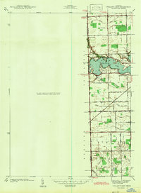 1942 Ypsilanti East1942 Print · USGSThe Washtenaw and Wayne County border comes alive in this early wartime survey, centered on the newly created Belleville Lake. Genealogists can locate family landmarks like the Soor Cem, Willow Run Sch, and the riverside settlement of Rawsonville.
 - 1942 Map of Maybee
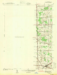 1942 Maybee1942 Print · USGSSoutheastern Michigan farmlands near the Monroe and Wayne county lines are documented here in the early 1940s. Genealogists can trace family landmarks like the Sandy Hill Cem and old school sites including Palmer Sch and Clayton Sch.
 - 1942 Map of Carleton
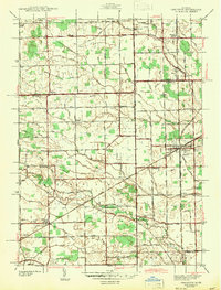 1942 Carleton1942 Print · USGSMonroe and Wayne counties come into focus during the early 1940s, showing a landscape shaped by rail-line junctions and agricultural drains. Genealogists can trace family names through landmarks like Felt Cem, St Patricks Cem, and local schoolhouses like Willow Sch or Long Bridge Sch.2 unique versions available
 - 1942 Map of Belleville
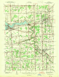 1942 Belleville1942 Print · USGSIn the early 1940s, western Wayne County remained a landscape of river-fed townships and railroad hamlets. Local historians can trace early community hubs like French Landing and Martinsville or locate family sites near St Stephens Cem.
 - 1952 Map of Belleville, 1953 Print
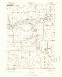 1952 Belleville1953 Print · USGSWayne County during the early fifties shows a fascinating mix of classic rail towns and new high-speed transit. Trace the older routes of the Wabash RR or locate family history at Little Farms, French Landing, and the Martinsville Cem.3 unique versions available
 - 1952 Map of Carleton, 1954 Print
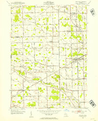 1952 Carleton1954 Print · USGSThe crossroads of Wayne and Monroe Counties are captured here during a period of post-war rural transition. Researchers can trace family homesteads near landmarks like Felt Cem, the McGowan Sch, or the rail junction at Carleton.2 unique versions available
 - 1953 Map of Ypsilanti East, 1955 Print
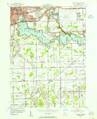 1953 Ypsilanti East1955 Print · USGSEastern Washtenaw County underwent significant industrial and aviation expansion in the 1950s, centered around the Huron River valley. Researchers can trace the development of the Willow Run Airport and locate local landmarks like the Friends Ch and Lincoln Sch.
 - 1954 Map of Detroit
 1954 Detroit1954 Print · USGSThe Detroit metro and its Ontario neighbors are shown at the height of the mid-century industrial era, just as the suburbs were rapidly expanding. Researchers can trace the massive rail networks of the Wabash Railroad or locate landmarks like Grosse Ile and Selfridge Air Force Base.
 - 1961 Map of Detroit, 1973 Print
 1961 Detroit1973 Print · USGSThe international border between Michigan and Ontario was a bustling industrial corridor in the early sixties. Researchers can trace the transit networks and riverfront infrastructure connecting Detroit to Windsor via the Detroit-Windsor Tunnel and major air hubs like Willow Run Airport.2 unique versions available
 - 1965 Map of Detroit
 1965 Detroit1965 Print · USGSThe industrial corridor between Michigan and Ontario is captured here at mid-century, showing the dense rail and river networks of the Great Lakes. Local historians can trace the paths of the Grand Trunk Western RR and locate key landmarks like Selfridge Air Force Base and Grosse Ile.
 - 1967 Map of Carleton, 1969 Print
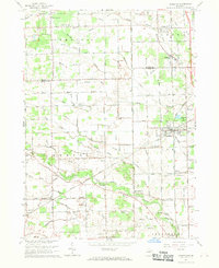 1967 Carleton1969 Print · USGSSoutheast Michigan's rural landscape is captured here in the late 1960s as a network of rail lines and drainage canals connected small farming communities. Genealogists can trace family landmarks like Woodmere Cem, St Patricks Sch, and the village of Waltz.3 unique versions available
 - 1967 Map of Maybee, 1969 Print
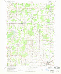 1967 Maybee1969 Print · USGSSoutheast Michigan’s agricultural heartland is mapped here in the late sixties, where family-named drains and county lines converge. Researchers can trace the Old Indian Treaty Boundary and locate family history at Bethlehem Ch, St Josephs Cem, or the Brainard Sch.
 - 1967 Map of Belleville, 1969 Print
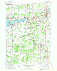 1967 Belleville1969 Print · USGSWayne County's suburban and rural landscape comes into focus in the late sixties as the freeway system expands through the Huron River valley. Researchers can trace family sites at Martinsville Cem, find early schools like Elwell Sch, and locate industrial hubs at French Landing.5 unique versions available
 - 1967 Map of Ypsilanti East, 1974 Print
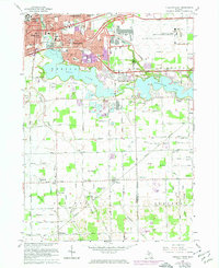 1967 Ypsilanti East1974 Print · USGSThe Ypsilanti area during the early seventies shows a landscape shifting from traditional agriculture to a major aviation and industrial hub. Researchers can trace the development of WILLOW RUN AIRPORT, find local schools like Erickson Sch, and locate rural landmarks such as Friends Ch.3 unique versions available
Showing maps 1-25 of 48
Top cities near Sumpter Township
- Detroit historical maps
- Ann Arbor historical maps
- Canton Charter Township historical maps
- Canton Township historical maps
- Livonia historical maps
- Dearborn historical maps
See more
Top neighborhoods of Sumpter Township
Frequently asked questions
- What are the different types of historical maps available for Sumpter Township?
- What is the oldest map of Sumpter Township?
- Where can I purchase historical maps of Sumpter Township for my home or office?
- Where can I download high-res historical maps of Sumpter Township?
- Are there historical topographic maps available for Sumpter Township?
- Is there historical aerial imagery available for Sumpter Township?
- Where are historical maps of Sumpter Township sourced from?