2000s (21st Century) Maps of Bagnall, Wexford Township
Explore 5 historic maps of Bagnall from the 2000s (21st Century). These maps offer a rare glimpse into what life looked like during the 2000s — showing old roads, neighborhoods, homes, and landmarks that have changed or disappeared over time.
Whether you're researching your family's past, planning a metal detecting trip, or studying how Bagnall's landscape evolved across the 2000s, these high-resolution maps are a powerful tool for exploring the history of this region.
- Focus on a specific era: All maps on this page are from the 2000s, giving you a focused view of this time period.
- See what’s changed: Compare century-old streets, trails, and buildings to today's modern landscape using overlays and satellite layers.
- Research with precision: Use these maps for genealogy, historical research, land use analysis, or educational projects.
- View, download, or print: Maps are fully viewable online in high resolution, and can be downloaded or printed for your own records.
Start exploring Bagnall's history through authentic maps from the 2000s. This is your window into the past.
Bagnall, Wexford Township maps
(5)- 2012 Map of Harlan, 2012 Print
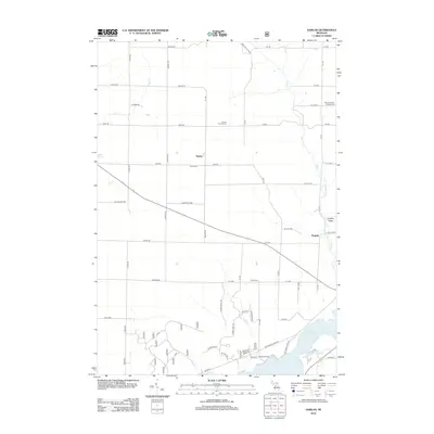 2012 Harlan2012 Print · USGSCovers Bagnall, including Cleon Township, Springville Township, and other nearby areas
 - 2014 Map of Harlan, 2014 Print
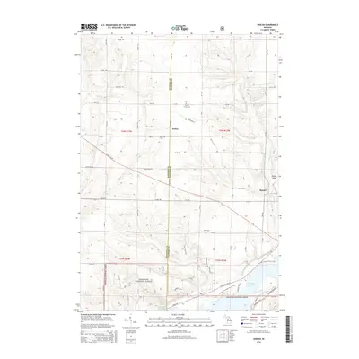 2014 Harlan2014 Print · USGSCovers Bagnall, including Cleon Township, Springville Township, and other nearby areas
 - 2017 Map of Harlan, 2017 Print
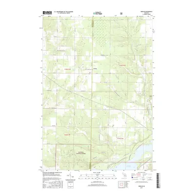 2017 Harlan2017 Print · USGSCovers Bagnall, including Cleon Township, Springville Township, and other nearby areas
 - 2019 Map of Harlan, 2019 Print
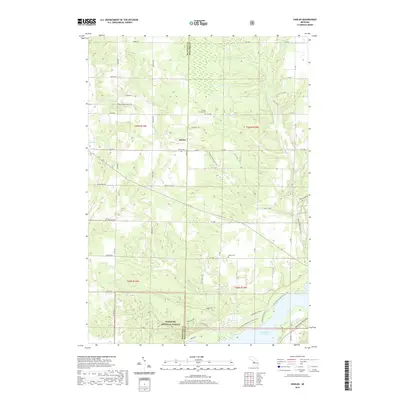 2019 Harlan2019 Print · USGSCovers Bagnall, including Cleon Township, Springville Township, and other nearby areas
 - 2023 Map of Harlan, 2023 Print
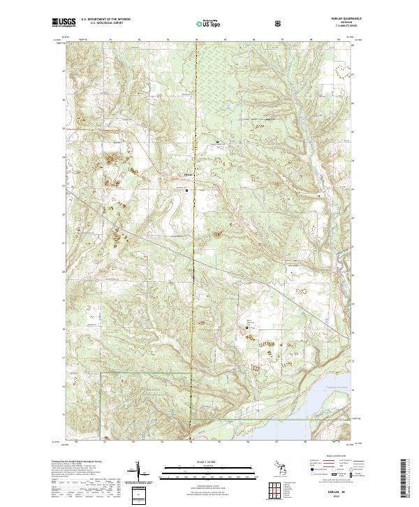 2023 Harlan2023 Print · USGSWexford and Manistee counties meet in this detailed look at a northern Michigan landscape centered on the settlement of Harlan. Genealogists and historians can trace local landmarks like Brethren Cem or follow the Betsie Valley State Trl as it winds toward Hodenpyl Dam Pond.
End of results
Showing maps 1-5 of 5
Top cities near Bagnall
- East Bay Township historical maps
- Blair Township historical maps
- Green Lake Township historical maps
- Paradise Township historical maps
- Mayfield Township historical maps
- Kingsley historical maps
See more
Frequently asked questions
- What are the different types of historical maps available for Bagnall?
- What is the oldest map of Bagnall?
- Where can I purchase historical maps of Bagnall for my home or office?
- Where can I download high-res historical maps of Bagnall?
- Are there historical topographic maps available for Bagnall?
- Is there historical aerial imagery available for Bagnall?
- Where are historical maps of Bagnall sourced from?