Old Maps of Clark Township, Minnesota
Explore 27 old maps of Clark Township, spanning from 1953 to today. These high-resolution historic maps reveal how streets, neighborhoods, landmarks, and natural features evolved over time — perfect for genealogy, metal detecting, research, and local history exploration.
What you can do with these maps:
- See how Clark Township changed over time: Compare historical maps to modern-day views to trace roads, homesites, rail lines & more.
- View detailed metadata: Each map includes creators, publishers, year, scale, and archive source.
- Overlay maps with satellite & LiDAR: Visualize the past alongside modern tools to explore terrain & human change.
- Trusted historical sources: Maps sourced from the USGS, Library of Congress, and other archives.
- Access maps your way: View online, download high-res files, or order prints for personal or research use.
Start exploring old maps of Clark Township to uncover forgotten places, hidden landmarks, and the deep history beneath your feet.
Clark Township, MN maps
(27)- 1953 Map of Duluth, 1964 Print
 1953 Duluth1964 Print · USGSNortheastern Minnesota and northwestern Wisconsin are shown here during a period of industrial maturity and expanding conservation. Genealogists and historians can trace rail-connected towns like McGrath and Wahkon, or locate heritage sites within the Fond du Lac Indian Reservation.2 unique versions available
 - 1958 Map of Duluth
 1958 Duluth1958 Print · USGSNortheastern Minnesota and the Wisconsin borderlands are shown in detail during the late 1950s, centered on the bustling rail yards and ports of Duluth. You can trace the historic routes of the Soo Line and Duluth Missabe & Iron Range through small towns like McGrath, Bruno, and Wrenshall.
 - 1969 Map of Automba, 1972 Print
 1969 Automba1972 Print · USGSThe Aitkin County backcountry in the late sixties is a mosaic of dense woods and winding waterways. Trace the Soo Line rail corridor through the settlement of Automba or explore the wetlands of the Salo Marsh State Wildlife Management Area.
 - 1969 Map of Lawler, 1972 Print
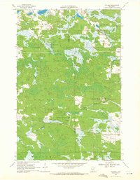
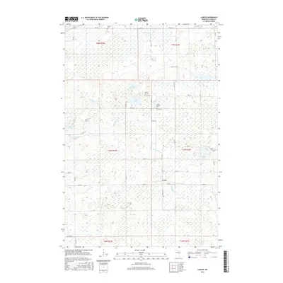
 1969 Lawler1972 Print · USGSAitkin County in the late sixties reveals a landscape of northern timberlands and rail corridors. Researchers can locate community anchors like the Sheriff Lake Tabernacle and Salo Cem, or trace the winding Wakefield Brook near the village of Lawler.2 unique versions available
 - 1970 Map of Tamarack, 1972 Print
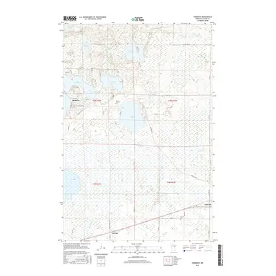
 1970 Tamarack1972 Print · USGSThe Northwoods of Aitkin County are seen here in the early 1970s, defined by the Burlington Northern line and sprawling wetlands. Genealogists and local historians can locate Fairview Cem and the early footprints of Tamarack and Grayling.
 - 1970 Map of Wright, 1972 Print
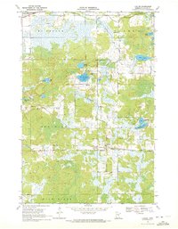
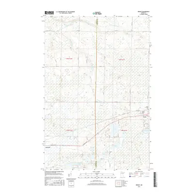
 1970 Wright1972 Print · USGSCarlton County and Aitkin County meet in the early 1970s amid a dense network of timberlands and northern lakes. Researchers can trace family history through landmarks like Lakeside Cem and Wright, or follow the Burlington Northern corridor through the Savanna State Forest.2 unique versions available
 - 1994 Map of Aitkin
 1994 Aitkin1994 Print · USGSIn the mid-1990s, the lake country of central Minnesota remained a patchwork of state forests and rail-linked settlements. Researchers can trace the legacy of the Soo Line through towns like McGregor and Aitkin, or explore the vast reaches of the Savanna State Forest and Rice Lake.
 - 2010 Map of Lawler, 2010 Print
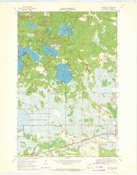
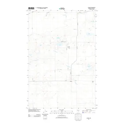
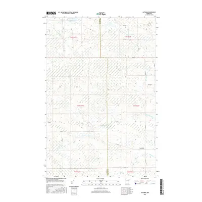
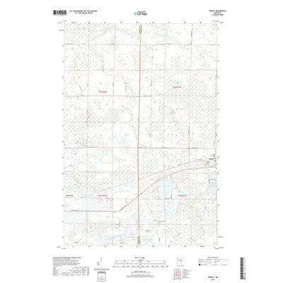
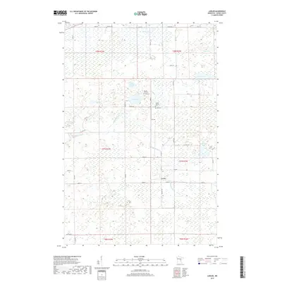
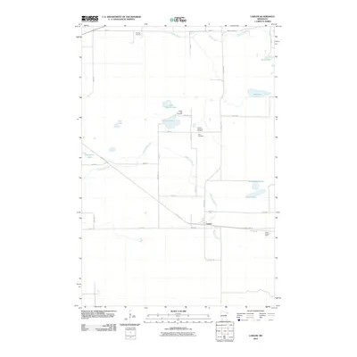 2010 Lawler2010 Print · USGSCovers Clark Township, including Lawler, Aitkin County, and other nearby areas
 - 2010 Map of Tamarack, 2010 Print
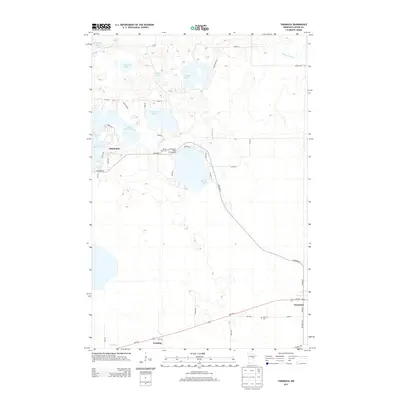
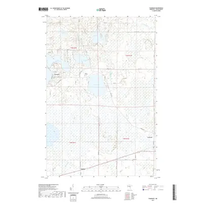
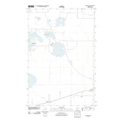 2010 Tamarack2010 Print · USGSCovers Clark Township, including Tamarack, Sheshebee, and other nearby areas
 - 2010 Map of Wright, 2010 Print
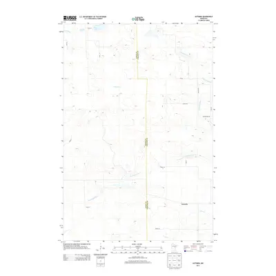
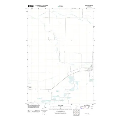 2010 Wright2010 Print · USGSCovers Clark Township, including Wright, Tamarack, and other nearby areas
 - 2010 Map of Automba, 2010 Print
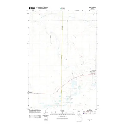
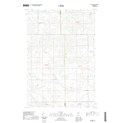
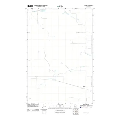 2010 Automba2010 Print · USGSCovers Clark Township, including Automba, Split Rock Township, and other nearby areas
 - 2013 Map of Lawler, 2013 Print
 2013 Lawler2013 Print · USGSCovers Clark Township, including Lawler, Aitkin County, and other nearby areas
 - 2013 Map of Tamarack, 2013 Print
 2013 Tamarack2013 Print · USGSCovers Clark Township, including Tamarack, Sheshebee, and other nearby areas
 - 2013 Map of Automba, 2013 Print
 2013 Automba2013 Print · USGSCovers Clark Township, including Automba, Split Rock Township, and other nearby areas
 - 2013 Map of Wright, 2013 Print
 2013 Wright2013 Print · USGSCovers Clark Township, including Wright, Tamarack, and other nearby areas
 - 2016 Map of Automba, 2016 Print
 2016 Automba2016 Print · USGSCovers Clark Township, including Automba, Split Rock Township, and other nearby areas
 - 2016 Map of Tamarack, 2016 Print
 2016 Tamarack2016 Print · USGSCovers Clark Township, including Tamarack, Sheshebee, and other nearby areas
 - 2016 Map of Wright, 2016 Print
 2016 Wright2016 Print · USGSCovers Clark Township, including Wright, Tamarack, and other nearby areas
 - 2016 Map of Lawler, 2016 Print
 2016 Lawler2016 Print · USGSCovers Clark Township, including Lawler, Aitkin County, and other nearby areas
 - 2019 Map of Wright, 2019 Print
 2019 Wright2019 Print · USGSCovers Clark Township, including Wright, Tamarack, and other nearby areas
 - 2019 Map of Lawler, 2019 Print
 2019 Lawler2019 Print · USGSCovers Clark Township, including Lawler, Aitkin County, and other nearby areas
 - 2019 Map of Tamarack, 2019 Print
 2019 Tamarack2019 Print · USGSCovers Clark Township, including Tamarack, Sheshebee, and other nearby areas
 - 2019 Map of Automba, 2019 Print
 2019 Automba2019 Print · USGSCovers Clark Township, including Automba, Split Rock Township, and other nearby areas
 - 2022 Map of Automba, 2022 Print
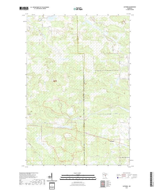 2022 Automba2022 Print · USGSThe Aitkin and Carlton county line in the 2020s is a landscape of water and reclaimed rail corridors. You can trace the path of the old railroad via the Soo Line North: Aitkin Trail and find rural landmarks like Automba and the winding Dead Moose River.
 - 2022 Map of Lawler, 2022 Print
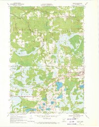
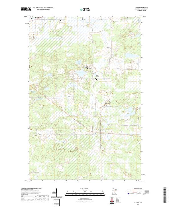 2022 Lawler2022 Print · USGSAitkin County’s wetlands and the settlement of Lawler are meticulously documented in this modern survey. Genealogists and historians can trace local family heritage through the Finnish Apostolic Cem, Salo Cem, and the path of the Soo Line North: Aitkin Trl.
Showing maps 1-25 of 27
Top cities near Clark Township
- McGregor historical maps
- Automba historical maps
- Wright historical maps
- Tamarack historical maps
- Libby historical maps
- Balsam historical maps
Frequently asked questions
- What are the different types of historical maps available for Clark Township?
- What is the oldest map of Clark Township?
- Where can I purchase historical maps of Clark Township for my home or office?
- Where can I download high-res historical maps of Clark Township?
- Are there historical topographic maps available for Clark Township?
- Is there historical aerial imagery available for Clark Township?
- Where are historical maps of Clark Township sourced from?