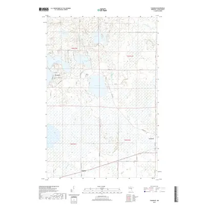
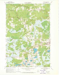
2019 Map of Tamarack
USGS Topo · Published 2019About this map
Sheshebee and the surrounding Aitkin County wetlands define this landscape, where heavy lake concentrations meet the winding courses of the Tamarack River and Sandy River. The map details a transition from the denser cluster of summer homes and recreation around Lake Minnewawa to the expansive, boggy lowlands of the east and south. Smaller settlements like Tamarack and Grayling anchor the southern portion of the sheet along the primary transport corridors, while Mussel Creek drains the central marshlands. For local historians, the placement of the Round Lake Cem and Fairview Cem provides essential spatial context for early families in this lake-strewn region. The intricate network of local roads, such as Island Lake Rd and Old Hwy 2, illustrates the late-era development of this timber and water-rich territory.
Find a feature on this map
56 named features on this map. Tap any name to fly to it.
Don’t see what you’re looking for? This feature index may not catch every label — zoom into the map to look around manually.
Map Details
Editions of this 2019 Tamarack Map
This is the sole edition of this map. No revisions or reprints were ever made.
Other maps of this area

1953 · Duluth
USGS Topo · 1:250,000

1958 · Duluth
USGS Topo · 1:250,000
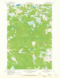
1969 · Automba
USGS Topo · 1:24,000
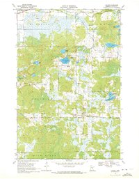
1969 · Lawler
USGS Topo · 1:24,000
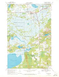
1970 · Mc Gregor
USGS Topo · 1:24,000
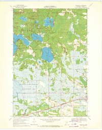
1970 · Tamarack
USGS Topo · 1:24,000
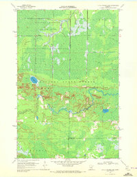
1970 · Little Prairie Lake
USGS Topo · 1:24,000
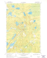
1970 · Balsam
USGS Topo · 1:24,000
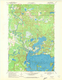
1970 · Libby
USGS Topo · 1:24,000
1970 · Wright
USGS Topo · 1:24,000