
1970 Map of Balsam
USGS Topo · Published 1972About this map
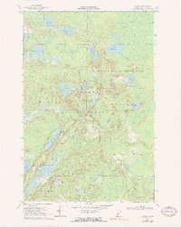
Savanna Portage State Park dominates this Aitkin County landscape, preserving the continental divide where the West Savanna River and East Savanna River flow toward the Mississippi and Lake Superior respectively. This 1970 field-checked survey reveals a complex network of glacial kettle lakes, including Glacier Lake, Wakefield Lake, and Wolf Lake, interspersed with extensive marshlands and peat bogs. The small settlement of Balsam and the Chapel in the Pines serve as focal points for the few developed areas within the larger Savanna State Forest.
Find a feature on this map
38 named features on this map. Tap any name to fly to it.
Don’t see what you’re looking for? This feature index may not catch every label — zoom into the map to look around manually.
Map Details
Editions of this 1970 Balsam Map
2 editions found
Other maps of this area

1953 · Duluth
USGS Topo · 1:250,000

1958 · Duluth
USGS Topo · 1:250,000

1969 · Island
USGS Topo · 1:24,000

1970 · Tamarack
USGS Topo · 1:24,000

1970 · Little Prairie Lake
USGS Topo · 1:24,000
1970 · Vanduse Lake
USGS Topo · 1:24,000
1970 · Ball Bluff
USGS Topo · 1:24,000

1970 · Libby
USGS Topo · 1:24,000

1970 · Wright
USGS Topo · 1:24,000
1970 · Minnewawa
USGS Topo · 1:24,000