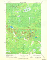
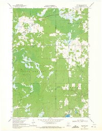
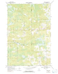
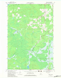
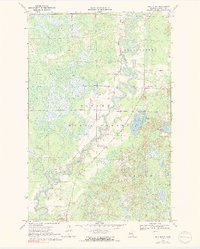
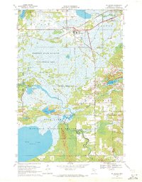
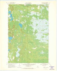
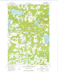
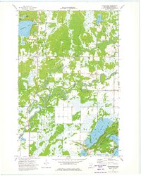
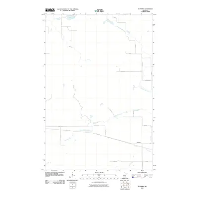
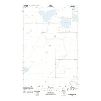
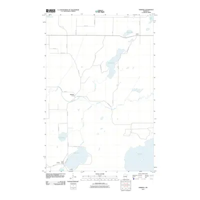
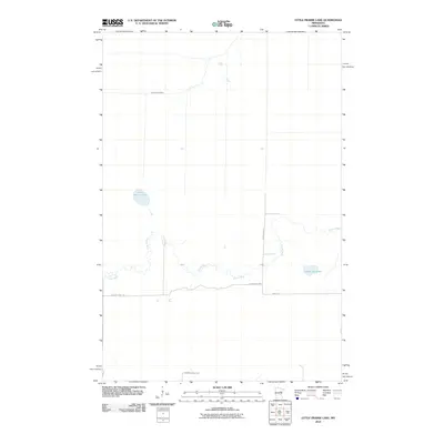
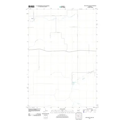
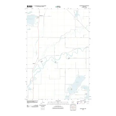
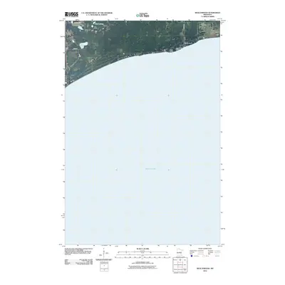
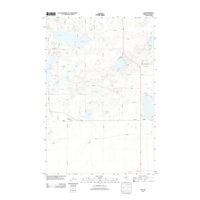
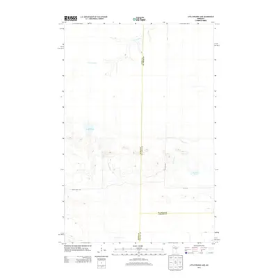
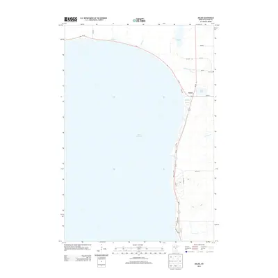
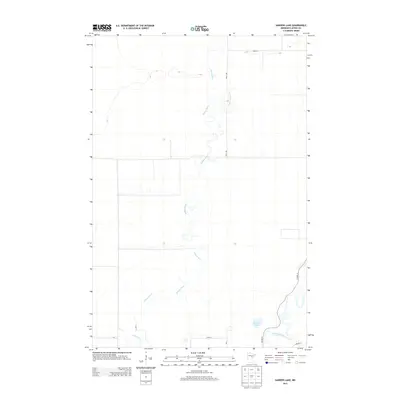
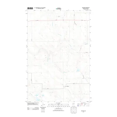
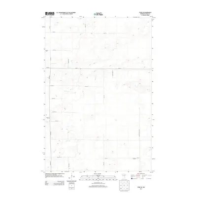
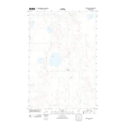
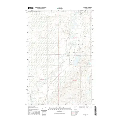
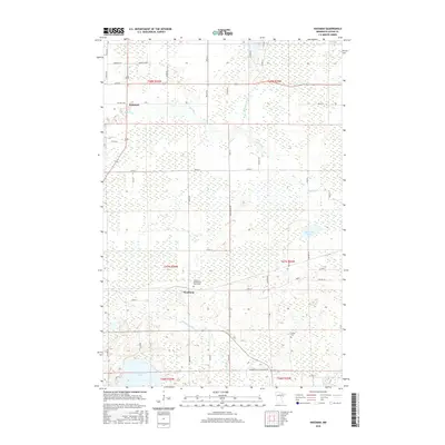
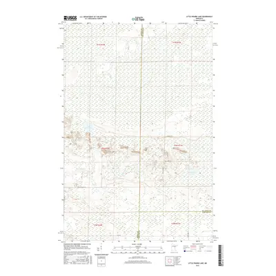
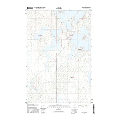
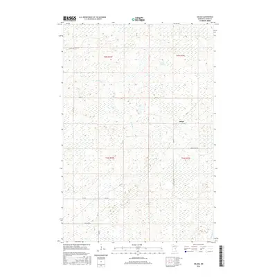
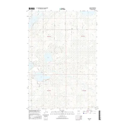
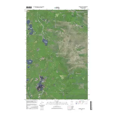
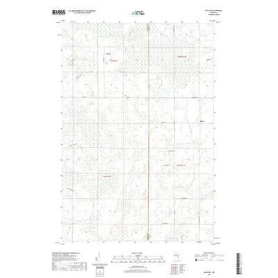
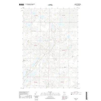
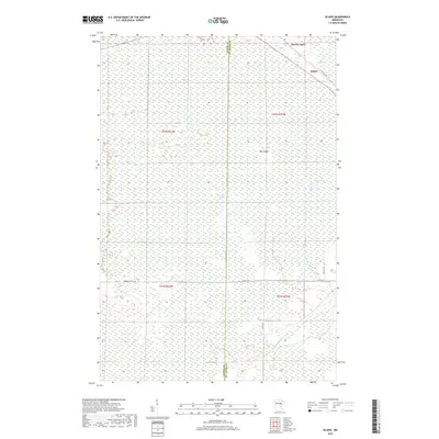
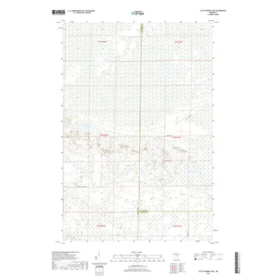
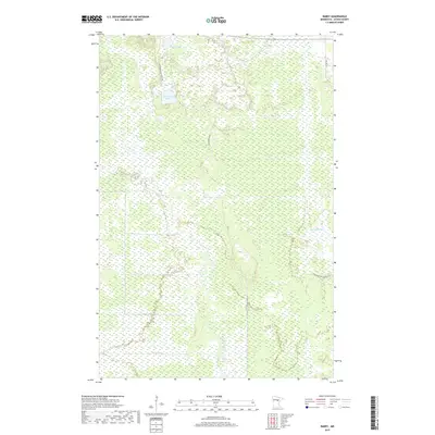
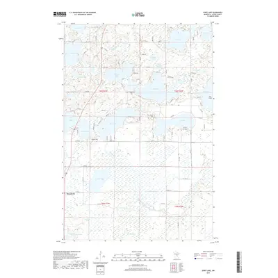
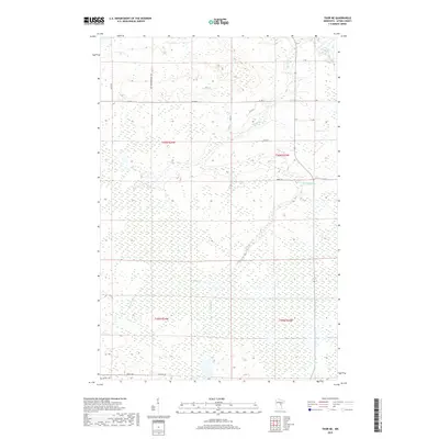
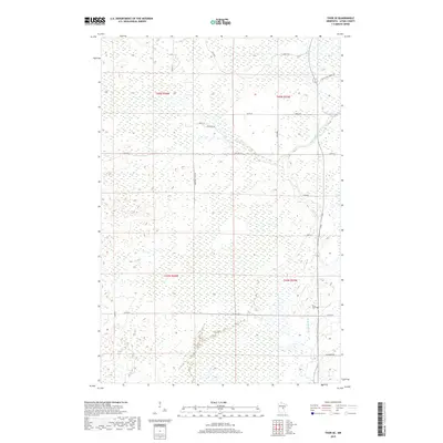
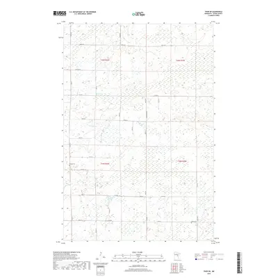
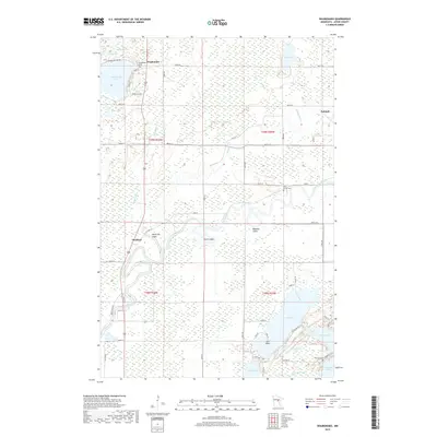
1970 Map of Little Prairie Lake
USGS Topo · Published 1972About this map
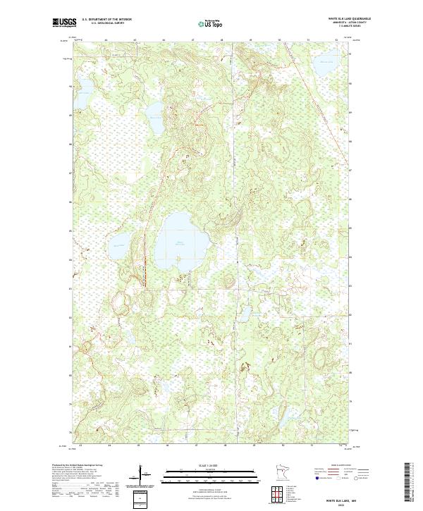
Savanna Portage State Park and the expansive Savanna State Forest dominate this northern Minnesota landscape, centered on the intersection of Aitkin, St. Louis, and Carlton counties. The terrain is defined by the winding course of the Savanna River as it flows north toward the portage, and the Prairie River which meanders through the southern sections. This area preserves a significant historical transit corridor, where early travelers navigated between the Mississippi and Lake Superior watersheds. The presence of a dedicated Snowmobile Trail and Winter Trail highlights the region's adaptation for cold-weather utility and recreation. Smaller water bodies like Little Prairie Lake and Roosevelt Lake are tucked into the heavy forest cover, while an isolated Gravel Pit near the Prairie River provides a rare sign of local industrial activity in an otherwise undeveloped woodland.
Find a feature on this map
17 named features on this map. Tap any name to fly to it.
Don’t see what you’re looking for? This feature index may not catch every label — zoom into the map to look around manually.
Map Details
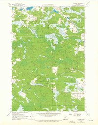
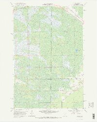
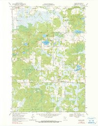
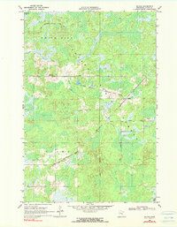
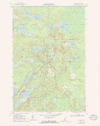
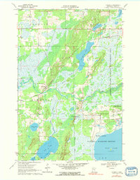
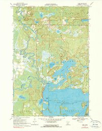
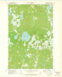
Editions of this 1970 Little Prairie Lake Map
This is the sole edition of this map. No revisions or reprints were ever made.
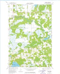
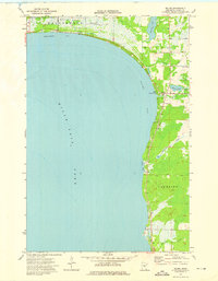
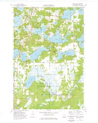
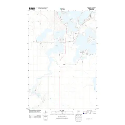
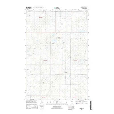
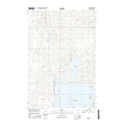
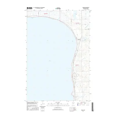
Historical Maps of Beseman Township Through Time
190 maps found
1916 Wealthwood
Aitkin County, MN
1968 Kroschel NW
Aitkin County, MN
1968 Mc Grath
Aitkin County, MN
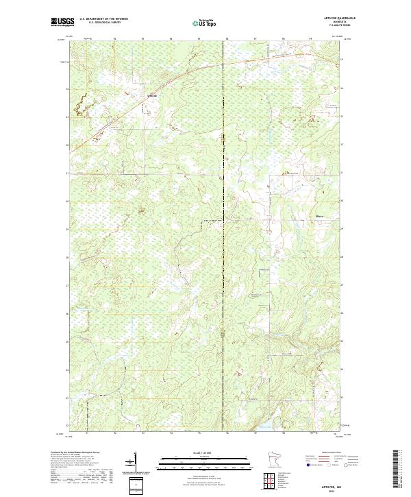
1969 Arthyde
Aitkin County, MN
1969 Automba
Aitkin County, MN
1969 Island
Aitkin County, MN
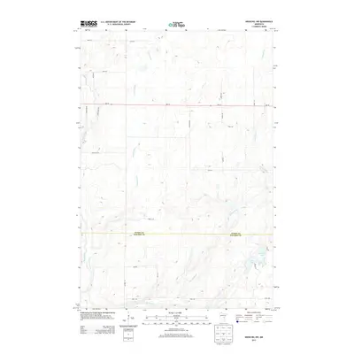
1969 Lawler
Aitkin County, MN
1969 Ronald
Aitkin County, MN
1969 Solana
Aitkin County, MN
1969 Split Rock Lake
Aitkin County, MN
1969 Thor
Aitkin County, MN
1969 Thor NE
Aitkin County, MN
1969 Thor SE
Aitkin County, MN
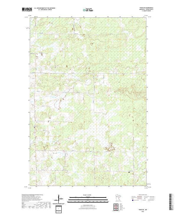
1969 Thor SW
Aitkin County, MN
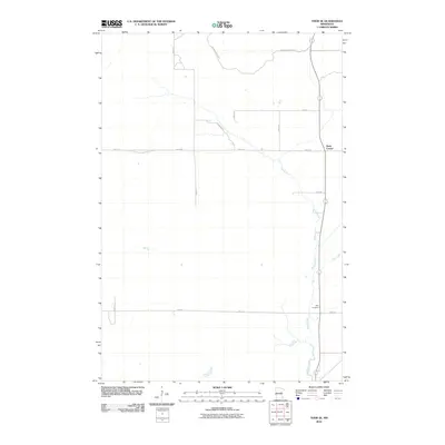
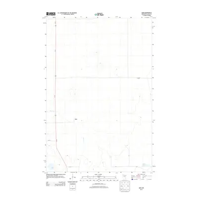
1970 Bain
Aitkin County, MN
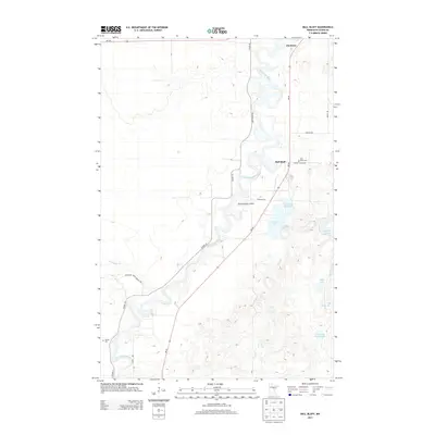
1970 Ball Bluff
Aitkin County, MN
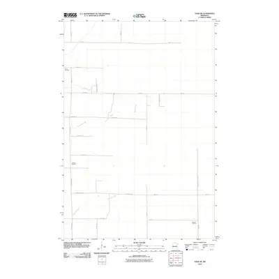
1970 Balsam
Aitkin County, MN
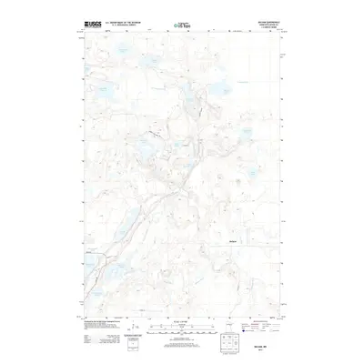
1970 Kimberly
Aitkin County, MN
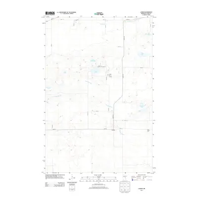
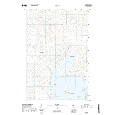
1970 Libby
Aitkin County, MN
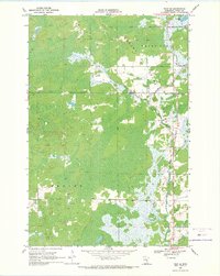
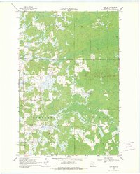
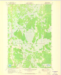
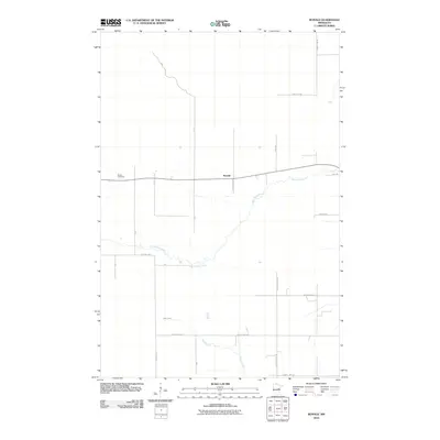
1970 Little Prairie Lake
Aitkin County, MN
1970 Mc Gregor
Aitkin County, MN
1970 Minnewawa
Aitkin County, MN
1970 Rabey
Aitkin County, MN
1970 Sanders Lake
Aitkin County, MN
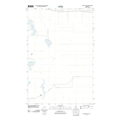
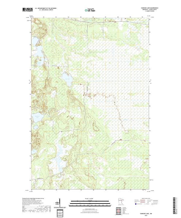
1970 Vanduse Lake
Aitkin County, MN
1970 White Elk Lake
Aitkin County, MN
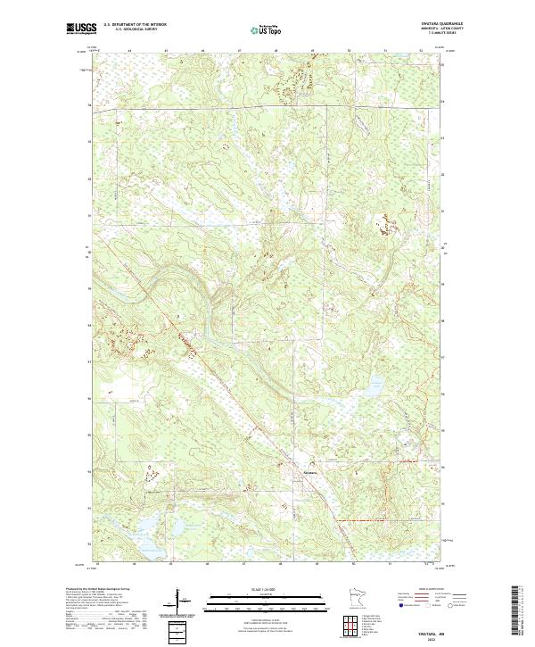
1971 Swatara
Aitkin County, MN
1973 Esquagamah Lake
Aitkin County, MN
1973 Glen
Aitkin County, MN
1973 Hassman
Aitkin County, MN
1973 Malmo
Aitkin County, MN
1973 Spirit Lake
Aitkin County, MN
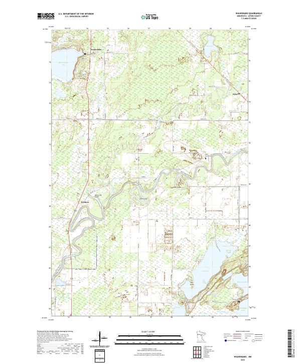
1973 Waukenabo
Aitkin County, MN
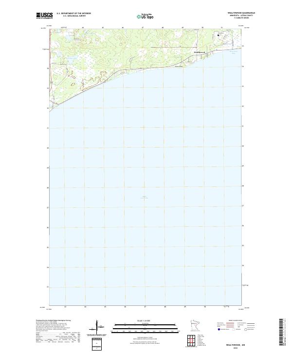
1973 Wealthwood
Aitkin County, MN
1985 Mille Lacs Lake
Aitkin County, MN
2010 Arthyde
Aitkin County, MN
2010 Automba
Aitkin County, MN
2010 Bain
Aitkin County, MN
2010 Ball Bluff
Aitkin County, MN
2010 Balsam
Aitkin County, MN
2010 Esquagamah Lake
Aitkin County, MN
2010 Glen
Aitkin County, MN
2010 Hassman
Aitkin County, MN
2010 Island
Aitkin County, MN
2010 Kimberly
Aitkin County, MN
2010 Kroschel NW
Aitkin County, MN
2010 Lawler
Aitkin County, MN
2010 Libby
Aitkin County, MN
2010 Little Prairie Lake
Aitkin County, MN
2010 Malmo
Aitkin County, MN
2010 Minnewawa
Aitkin County, MN
2010 Rabey
Aitkin County, MN
2010 Ronald
Aitkin County, MN
2010 Sanders Lake
Aitkin County, MN
2010 Solana
Aitkin County, MN
2010 Spirit Lake
Aitkin County, MN
2010 Split Rock Lake
Aitkin County, MN
2010 Swatara
Aitkin County, MN
2010 Thor
Aitkin County, MN
2010 Thor NE
Aitkin County, MN
2010 Thor SE
Aitkin County, MN
2010 Thor SW
Aitkin County, MN
2010 Vanduse Lake
Aitkin County, MN
2010 Waukenabo
Aitkin County, MN
2010 Wealthwood
Aitkin County, MN
2010 White Elk Lake
Aitkin County, MN
2013 Arthyde
Aitkin County, MN
2013 Automba
Aitkin County, MN
2013 Bain
Aitkin County, MN
2013 Ball Bluff
Aitkin County, MN
2013 Balsam
Aitkin County, MN
2013 Esquagamah Lake
Aitkin County, MN
2013 Glen
Aitkin County, MN
2013 Hassman
Aitkin County, MN
2013 Island
Aitkin County, MN
2013 Kimberly
Aitkin County, MN
2013 Kroschel NW
Aitkin County, MN
2013 Lawler
Aitkin County, MN
2013 Libby
Aitkin County, MN
2013 Little Prairie Lake
Aitkin County, MN
2013 Malmo
Aitkin County, MN
2013 Minnewawa
Aitkin County, MN
2013 Rabey
Aitkin County, MN
2013 Ronald
Aitkin County, MN
2013 Sanders Lake
Aitkin County, MN
2013 Solana
Aitkin County, MN
2013 Spirit Lake
Aitkin County, MN
2013 Split Rock Lake
Aitkin County, MN
2013 Swatara
Aitkin County, MN
2013 Thor
Aitkin County, MN
2013 Thor NE
Aitkin County, MN
2013 Thor SE
Aitkin County, MN
2013 Thor SW
Aitkin County, MN
2013 Vanduse Lake
Aitkin County, MN
2013 Waukenabo
Aitkin County, MN
2013 Wealthwood
Aitkin County, MN
2013 White Elk Lake
Aitkin County, MN
2016 Arthyde
Aitkin County, MN
2016 Automba
Aitkin County, MN
2016 Bain
Aitkin County, MN
2016 Ball Bluff
Aitkin County, MN
2016 Balsam
Aitkin County, MN
2016 Esquagamah Lake
Aitkin County, MN
2016 Glen
Aitkin County, MN
2016 Hassman
Aitkin County, MN
2016 Island
Aitkin County, MN
2016 Kimberly
Aitkin County, MN
2016 Kroschel NW
Aitkin County, MN
2016 Lawler
Aitkin County, MN
2016 Libby
Aitkin County, MN
2016 Little Prairie Lake
Aitkin County, MN
2016 Malmo
Aitkin County, MN
2016 Minnewawa
Aitkin County, MN
2016 Rabey
Aitkin County, MN
2016 Ronald
Aitkin County, MN
2016 Sanders Lake
Aitkin County, MN
2016 Solana
Aitkin County, MN
2016 Spirit Lake
Aitkin County, MN
2016 Split Rock Lake
Aitkin County, MN
2016 Swatara
Aitkin County, MN
2016 Thor
Aitkin County, MN
2016 Thor NE
Aitkin County, MN
2016 Thor SE
Aitkin County, MN
2016 Thor SW
Aitkin County, MN
2016 Vanduse Lake
Aitkin County, MN
2016 Waukenabo
Aitkin County, MN
2016 Wealthwood
Aitkin County, MN
2016 White Elk Lake
Aitkin County, MN
2019 Arthyde
Aitkin County, MN
2019 Automba
Aitkin County, MN
2019 Bain
Aitkin County, MN
2019 Ball Bluff
Aitkin County, MN
2019 Balsam
Aitkin County, MN
2019 Esquagamah Lake
Aitkin County, MN
2019 Glen
Aitkin County, MN
2019 Hassman
Aitkin County, MN
2019 Island
Aitkin County, MN
2019 Kimberly
Aitkin County, MN
2019 Kroschel NW
Aitkin County, MN
2019 Lawler
Aitkin County, MN
2019 Libby
Aitkin County, MN
2019 Little Prairie Lake
Aitkin County, MN
2019 Malmo
Aitkin County, MN
2019 Minnewawa
Aitkin County, MN
2019 Rabey
Aitkin County, MN
2019 Ronald
Aitkin County, MN
2019 Sanders Lake
Aitkin County, MN
2019 Solana
Aitkin County, MN
2019 Spirit Lake
Aitkin County, MN
2019 Split Rock Lake
Aitkin County, MN
2019 Swatara
Aitkin County, MN
2019 Thor
Aitkin County, MN
2019 Thor NE
Aitkin County, MN
2019 Thor SE
Aitkin County, MN
2019 Thor SW
Aitkin County, MN
2019 Vanduse Lake
Aitkin County, MN
2019 Waukenabo
Aitkin County, MN
2019 Wealthwood
Aitkin County, MN
2019 White Elk Lake
Aitkin County, MN
2022 Arthyde
Aitkin County, MN
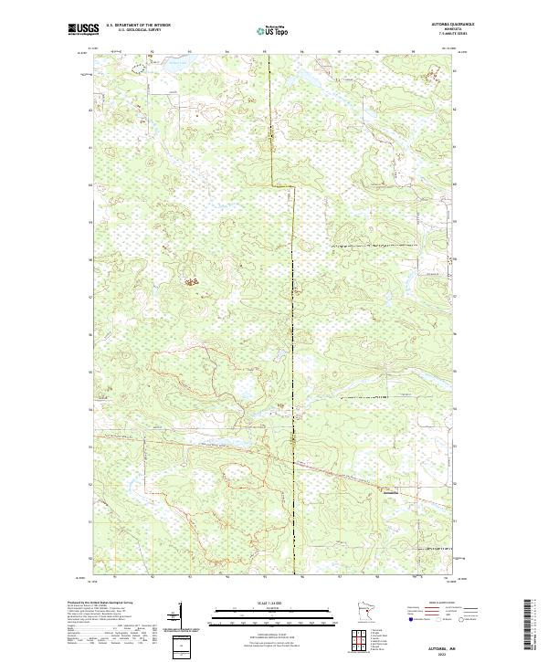
2022 Automba
Aitkin County, MN
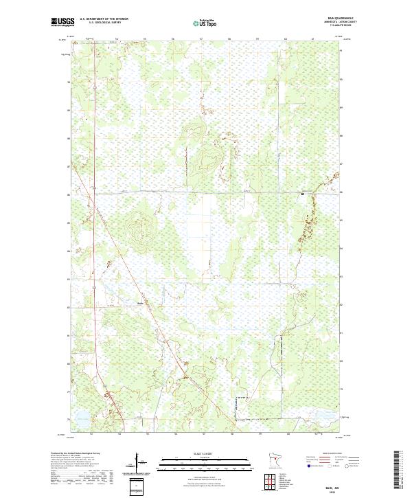
2022 Bain
Aitkin County, MN
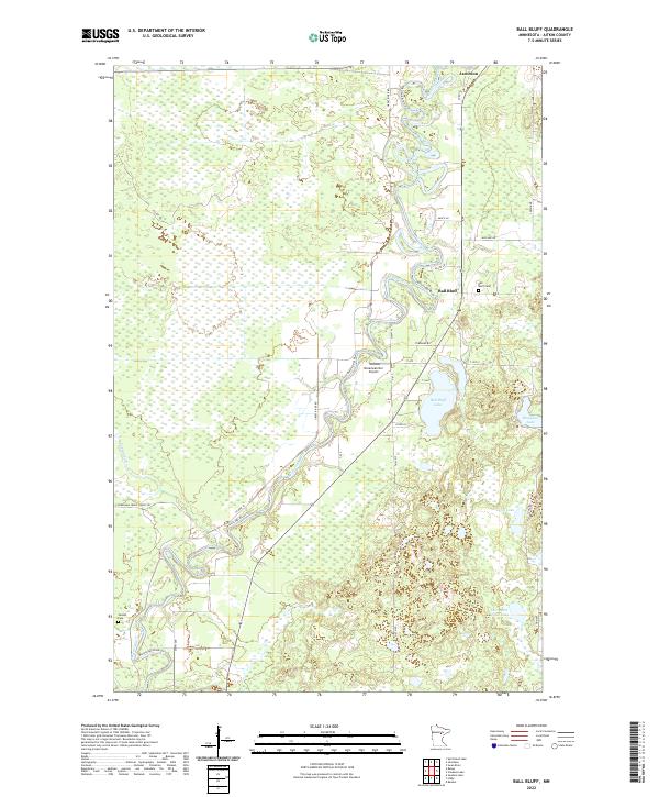
2022 Ball Bluff
Aitkin County, MN
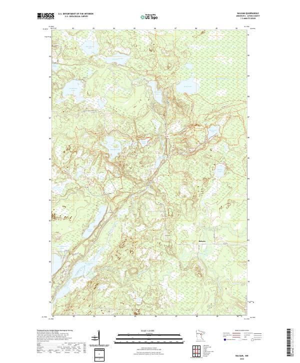
2022 Balsam
Aitkin County, MN
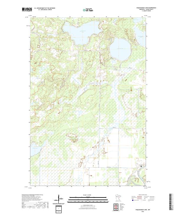
2022 Esquagamah Lake
Aitkin County, MN
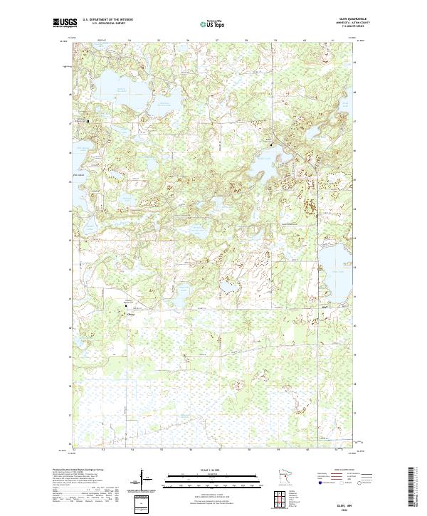
2022 Glen
Aitkin County, MN
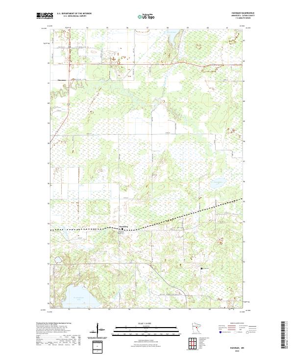
2022 Hassman
Aitkin County, MN
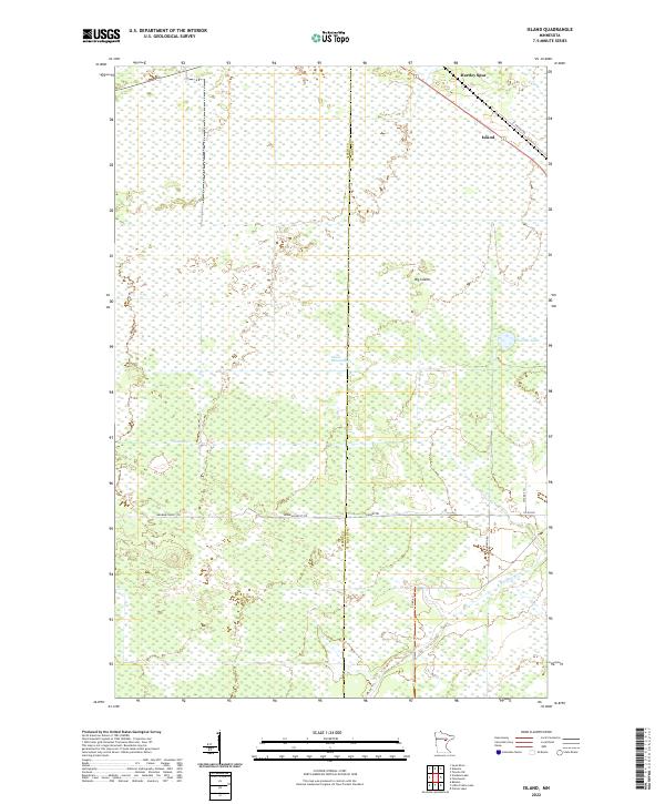
2022 Island
Aitkin County, MN
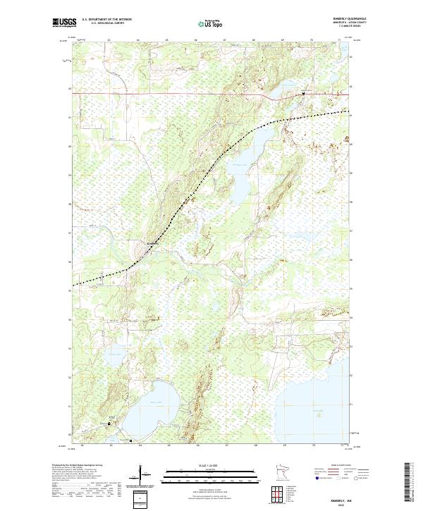
2022 Kimberly
Aitkin County, MN

2022 Kroschel NW
Aitkin County, MN
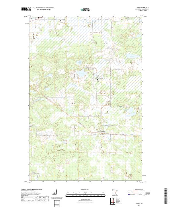
2022 Lawler
Aitkin County, MN
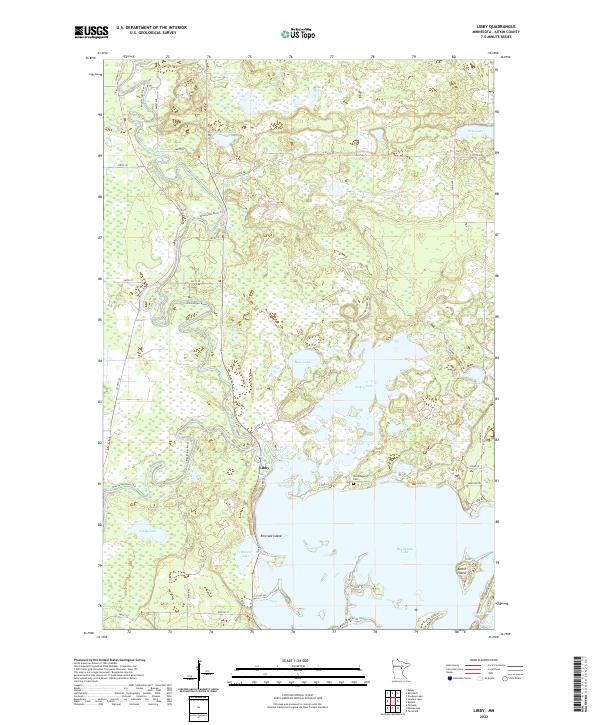
2022 Libby
Aitkin County, MN
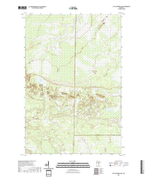
2022 Little Prairie Lake
Aitkin County, MN
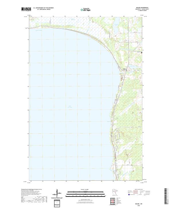
2022 Malmo
Aitkin County, MN
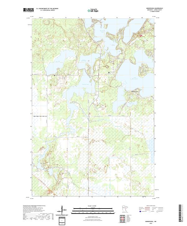
2022 Minnewawa
Aitkin County, MN
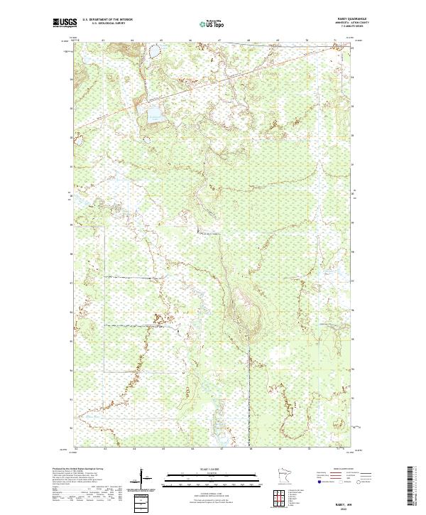
2022 Rabey
Aitkin County, MN
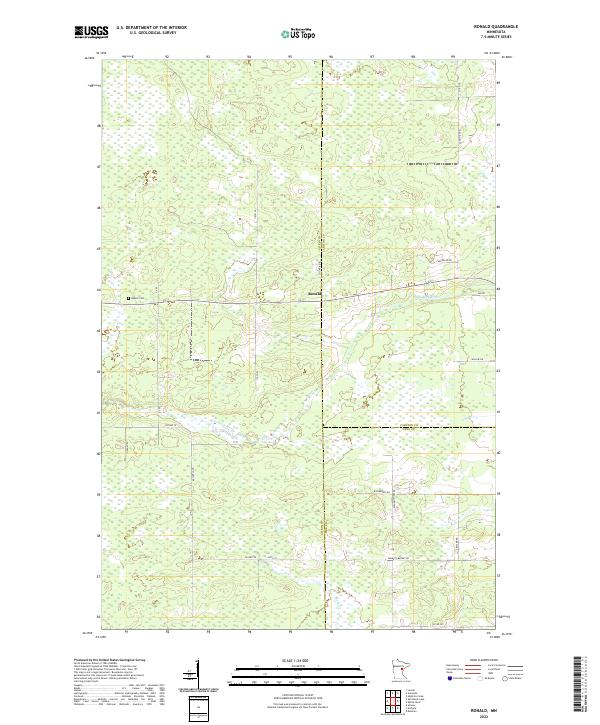
2022 Ronald
Aitkin County, MN
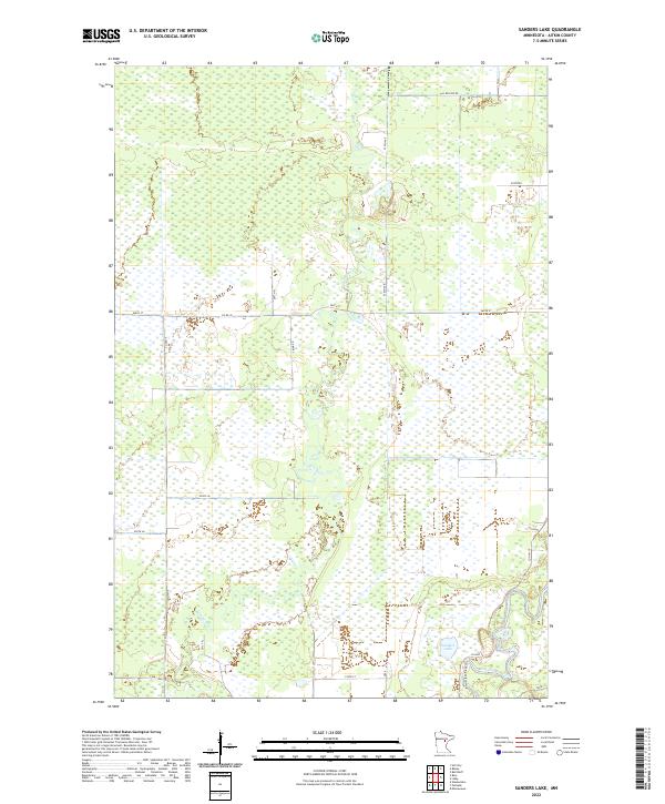
2022 Sanders Lake
Aitkin County, MN
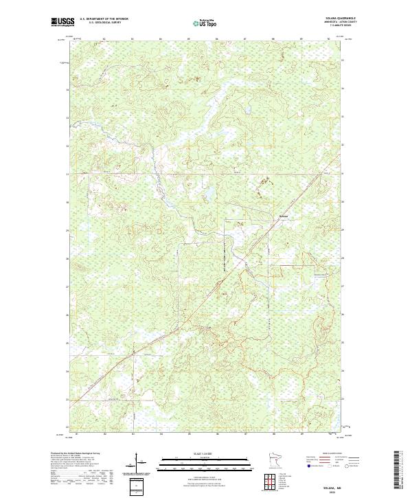
2022 Solana
Aitkin County, MN
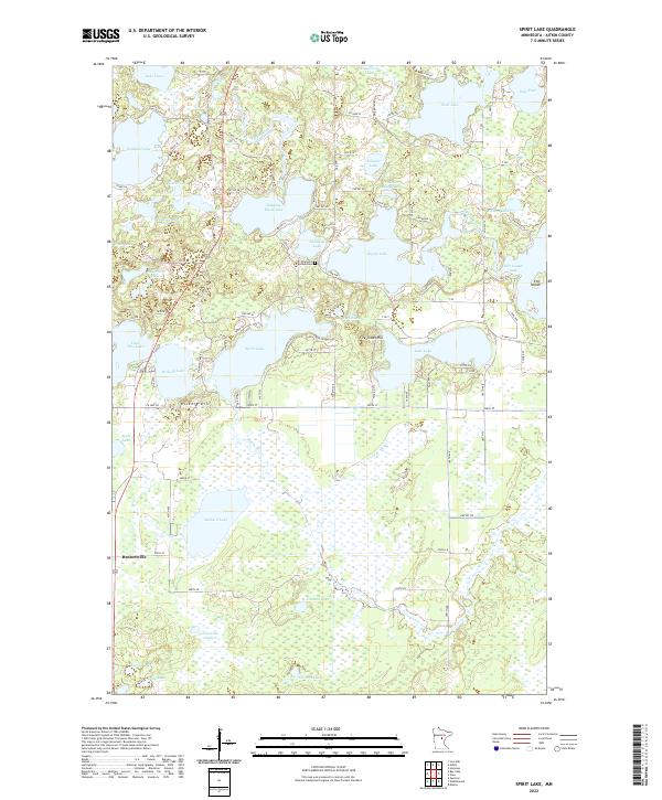
2022 Spirit Lake
Aitkin County, MN
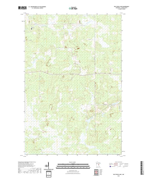
2022 Split Rock Lake
Aitkin County, MN
2022 Swatara
Aitkin County, MN
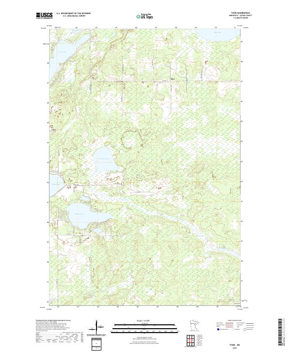
2022 Thor
Aitkin County, MN
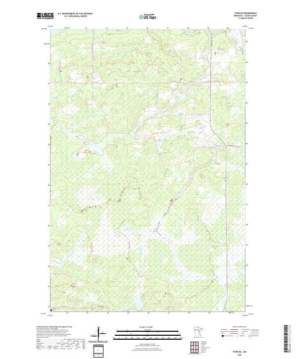
2022 Thor NE
Aitkin County, MN
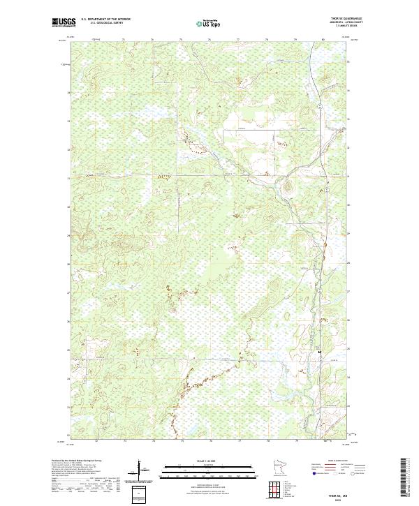
2022 Thor SE
Aitkin County, MN
2022 Thor SW
Aitkin County, MN
2022 Vanduse Lake
Aitkin County, MN
2022 Waukenabo
Aitkin County, MN
2022 Wealthwood
Aitkin County, MN
2022 White Elk Lake
Aitkin County, MN