Old Maps of Glen, Minnesota for Academic Research
Study the evolution of Glen with 10 high-resolution historic maps. Whether you're teaching, researching, or modeling changes in land use, these maps provide essential visual documentation of urban, environmental, and geographic change.
- Analyze long-term change: Track patterns in development, transportation, and natural features.
- Ideal for environmental or urban studies: Support academic projects with primary historical map data.
- Use in the classroom or lab: Educators and researchers rely on these maps to bring historical context to life.
These maps are a powerful tool for teaching, research, and visualizing how Glen has changed over the decades.
Glen, MN maps
(10)- 1916 Map of Wealthwood
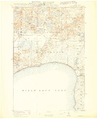 1916 Wealthwood1916 Print · USGSThe north shore of Mille Lacs Lake is captured in the mid-1910s during a period of rural schoolhouse expansion and early shoreline settlement. Genealogists can locate family landmarks like Carlson School, the Town Hall, and pioneer hubs at Wealthwood or Malmo.4 unique versions available
 - 1953 Map of Duluth, 1964 Print
 1953 Duluth1964 Print · USGSNortheastern Minnesota and northwestern Wisconsin are shown here during a period of industrial maturity and expanding conservation. Genealogists and historians can trace rail-connected towns like McGrath and Wahkon, or locate heritage sites within the Fond du Lac Indian Reservation.2 unique versions available
 - 1958 Map of Duluth
 1958 Duluth1958 Print · USGSNortheastern Minnesota and the Wisconsin borderlands are shown in detail during the late 1950s, centered on the bustling rail yards and ports of Duluth. You can trace the historic routes of the Soo Line and Duluth Missabe & Iron Range through small towns like McGrath, Bruno, and Wrenshall.
 - 1973 Map of Glen, 1976 Print
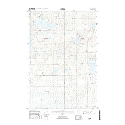
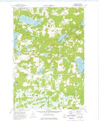 1973 Glen1976 Print · USGSAitkin County in the early seventies shows a landscape of dense state forests and glacial lakes just north of Mille Lacs. Genealogists and local historians can locate rural landmarks like Bethlehem Ch, the Glen Lookout Tower, and the settlement of Glory.
 - 1985 Map of Mille Lacs Lake
 1985 Mille Lacs Lake1985 Print · USGSMille Lacs Lake and its surrounding settlements are shown in the mid-1980s as a hub of lake-shore recreation and rail commerce. Researchers can trace historic transport lines like the Soo Line and locate communities such as Wahkon and Garrison.2 unique versions available
 - 2010 Map of Glen, 2010 Print
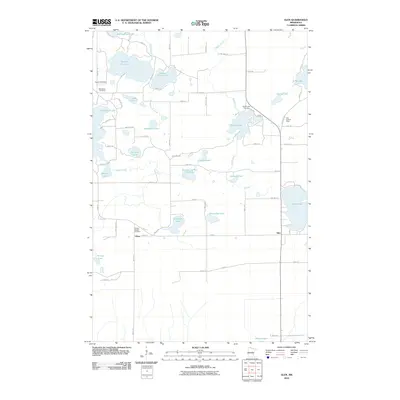 2010 Glen2010 Print · USGSCovers Glen, including Glory, Aitkin County, and other nearby areas
 - 2013 Map of Glen, 2013 Print
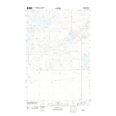 2013 Glen2013 Print · USGSCovers Glen, including Glory, Aitkin County, and other nearby areas
 - 2016 Map of Glen, 2016 Print
 2016 Glen2016 Print · USGSCovers Glen, including Glory, Aitkin County, and other nearby areas
 - 2019 Map of Glen, 2019 Print
 2019 Glen2019 Print · USGSCovers Glen, including Glory, Aitkin County, and other nearby areas
 - 2022 Map of Glen, 2022 Print
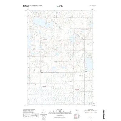
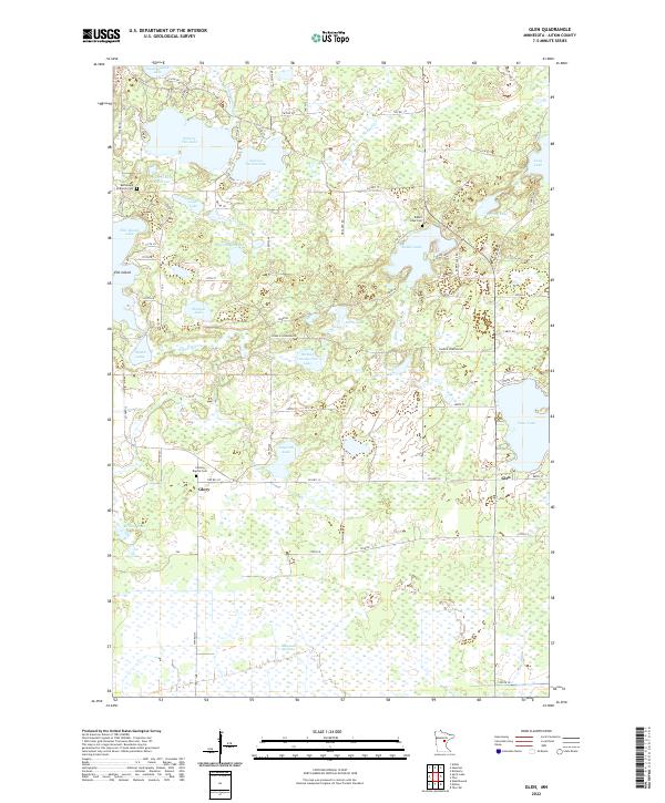 2022 Glen2022 Print · USGSAitkin County’s lake-strewn landscape is captured here in the early twenty-first century, showing the small communities and rural cemeteries of central Minnesota. Genealogists and historians can locate Bethlehem Lutheran Cem and trace the paths around Glen and Glory.
End of results
Showing maps 1-10 of 10
Top cities near Glen
- Aitkin historical maps
- McGregor historical maps
- Malmo historical maps
- Wealthwood historical maps
- Kimberly historical maps
Frequently asked questions
- What are the different types of historical maps available for Glen?
- What is the oldest map of Glen?
- Where can I purchase historical maps of Glen for my home or office?
- Where can I download high-res historical maps of Glen?
- Are there historical topographic maps available for Glen?
- Is there historical aerial imagery available for Glen?
- Where are historical maps of Glen sourced from?