2020s Maps of Linwood Township, Minnesota
Explore 4 historic maps of Linwood Township from the 2020s. These maps offer a rare glimpse into what life looked like during the 2020s — showing old roads, neighborhoods, homes, and landmarks that have changed or disappeared over time.
Whether you're researching your family's past, planning a metal detecting trip, or studying how Linwood Township's landscape evolved across the 2020s, these high-resolution maps are a powerful tool for exploring the history of this region.
- Focus on a specific era: All maps on this page are from the 2020s, giving you a focused view of this time period.
- See what’s changed: Compare century-old streets, trails, and buildings to today's modern landscape using overlays and satellite layers.
- Research with precision: Use these maps for genealogy, historical research, land use analysis, or educational projects.
- View, download, or print: Maps are fully viewable online in high resolution, and can be downloaded or printed for your own records.
Start exploring Linwood Township's history through authentic maps from the 2020s. This is your window into the past.
Linwood Township, MN maps
(4)- 2022 Map of Isanti, 2022 Print
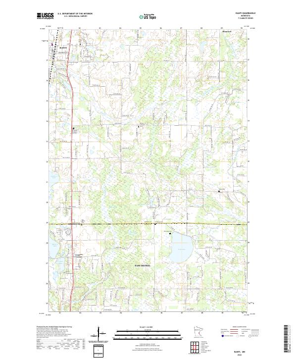 2022 Isanti2022 Print · USGSIsanti and East Bethel appear at a modern crossroads of rural heritage and suburban growth. Researchers can trace the lineage of the region through numerous burial grounds like Isanti Union Cemetery and Fish Lake Cemetery, or locate old landmarks near Coopers Corner.
 - 2022 Map of Coon Lake Beach, 2022 Print
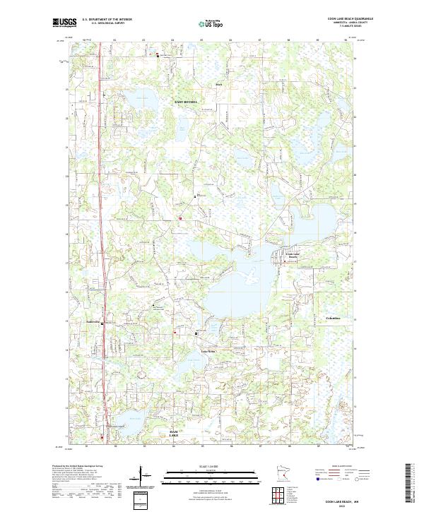 2022 Coon Lake Beach2022 Print · USGSAnoka County's lake-strewn landscape is captured here in the early twenty-first century, showing the growth of lakeside communities and rural townships. Genealogists can locate several local burial sites, including Soderville Cem and East Bethel Cem, while tracing the shores of Coon Lake and Ham Lake.
 - 2022 Map of Linwood, 2022 Print
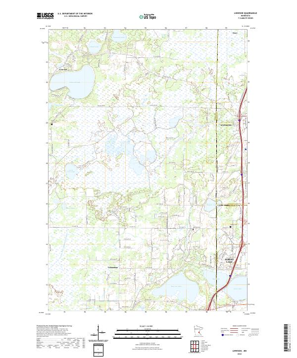 2022 Linwood2022 Print · USGSThe intersection of Anoka, Chisago, and Washington counties comes into focus in this early twenty-first-century survey. Genealogists and local historians can trace the developments of Forest Lake and Linwood, or locate family sites near Oak Park Cem and Victor Hill Cem.
 - 2022 Map of Typo Lake, 2022 Print
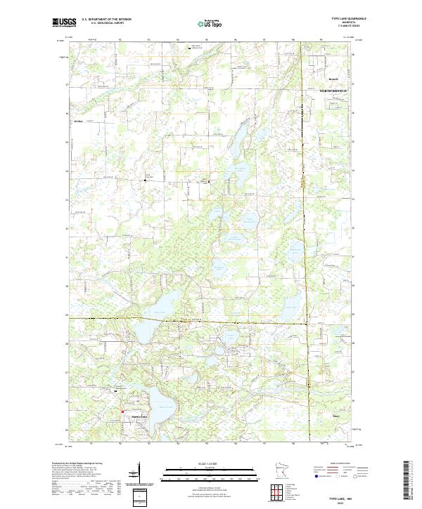 2022 Typo Lake2022 Print · USGSThe lake country of eastern Isanti County is captured here in the early 21st century, showing a landscape defined by the W Br Sunrise River. Genealogists and local historians can locate early burial sites like Oxford Union Cem and Linwood Township Cem.
End of results
Showing maps 1-4 of 4
Top cities near Linwood Township
- Brooklyn Park historical maps
- Coon Rapids historical maps
- Blaine historical maps
- Andover historical maps
- Lino Lakes historical maps
- Ham Lake historical maps
See more
Top neighborhoods of Linwood Township
Frequently asked questions
- What are the different types of historical maps available for Linwood Township?
- What is the oldest map of Linwood Township?
- Where can I purchase historical maps of Linwood Township for my home or office?
- Where can I download high-res historical maps of Linwood Township?
- Are there historical topographic maps available for Linwood Township?
- Is there historical aerial imagery available for Linwood Township?
- Where are historical maps of Linwood Township sourced from?