Old Maps of Benton County, Minnesota for Academic Research
Study the evolution of Benton County with 44 high-resolution historic maps. Whether you're teaching, researching, or modeling changes in land use, these maps provide essential visual documentation of urban, environmental, and geographic change.
- Analyze long-term change: Track patterns in development, transportation, and natural features.
- Ideal for environmental or urban studies: Support academic projects with primary historical map data.
- Use in the classroom or lab: Educators and researchers rely on these maps to bring historical context to life.
These maps are a powerful tool for teaching, research, and visualizing how Benton County has changed over the decades.
Benton County, MN maps
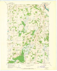
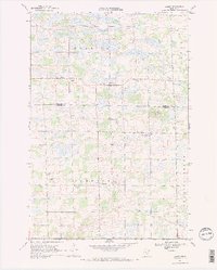
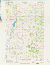
(44)- 1948 Map of Pierz, 1967 Print
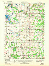 1948 Pierz1967 Print · USGSCovers Benton County, including Rice, Pierz, and other nearby areas
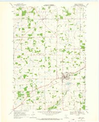
 - 1948 Map of Little Falls, 1973 Print
 1948 Little Falls1973 Print · USGSCovers Benton County, including Little Falls, Rice, and other nearby areas
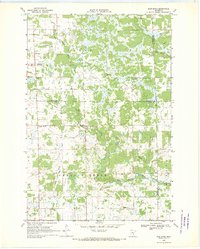
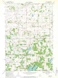
 - 1950 Map of Little Falls
 1950 Little Falls1950 Print · USGSCovers Benton County, including Little Falls, Rice, and other nearby areas2 unique versions available
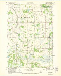
 - 1950 Map of Pierz
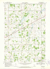
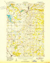 1950 Pierz1950 Print · USGSCovers Benton County, including Rice, Pierz, and other nearby areas
 - 1950 Map of St. Cloud, 1952 Print
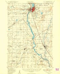
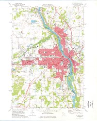
 1950 St. Cloud1952 Print · USGSCovers Benton County, including St. Cloud, Saint Cloud, and other nearby areas3 unique versions available
 - 1953 Map of Saint Cloud, 1968 Print
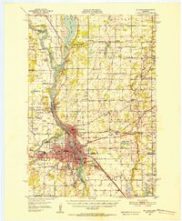
 1953 Saint Cloud1968 Print · USGSCovers Benton County, including St. Cloud, Saint Cloud, and other nearby areas3 unique versions available
 - 1953 Map of Stillwater, 1980 Print
 1953 Stillwater1980 Print · USGSCovers Benton County, including Minneapolis, Brooklyn Park, and other nearby areas
 - 1955 Map of Stillwater, 1965 Print
 1955 Stillwater1965 Print · USGSCovers Benton County, including Minneapolis, Brooklyn Park, and other nearby areas
 - 1957 Map of Saint Cloud
 1957 Saint Cloud1957 Print · USGSCovers Benton County, including St. Cloud, Saint Cloud, and other nearby areas
 - 1958 Map of Stillwater
 1958 Stillwater1958 Print · USGSCovers Benton County, including Minneapolis, Brooklyn Park, and other nearby areas2 unique versions available
 - 1958 Map of Saint Cloud
 1958 Saint Cloud1958 Print · USGSCovers Benton County, including St. Cloud, Saint Cloud, and other nearby areas
 - 1965 Map of Stillwater
 1965 Stillwater1965 Print · USGSCovers Benton County, including Minneapolis, Brooklyn Park, and other nearby areas
 - 1965 Map of St Stephen, 1966 Print
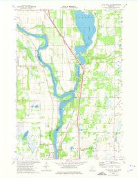
 1965 St Stephen1966 Print · USGSCovers Benton County, including Sartell, Rice, and other nearby areas2 unique versions available
 - 1968 Map of Foley, 1970 Print
 1968 Foley1970 Print · USGSCovers Benton County, including Gilman, Saint George Township, and other nearby areas2 unique versions available
 - 1968 Map of Rum River, 1970 Print
 1968 Rum River1970 Print · USGSCovers Benton County, including Milaca Township, Page Township, and other nearby areas
 - 1968 Map of Santiago, 1970 Print
 1968 Santiago1970 Print · USGSCovers Benton County, including Santiago, Glendorado, and other nearby areas
 - 1968 Map of Ramey, 1970 Print
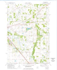
 1968 Ramey1970 Print · USGSCovers Benton County, including Morrill, Alberta Township, and other nearby areas2 unique versions available
 - 1968 Map of Ronneby, 1970 Print
 1968 Ronneby1970 Print · USGSCovers Benton County, including Ronneby, Greenbush Township, and other nearby areas
 - 1968 Map of Duelm, 1970 Print
 1968 Duelm1970 Print · USGSCovers Benton County, including Saint George Township, Santiago Township, and other nearby areas
 - 1974 Map of Cable, 1976 Print
 1974 Cable1976 Print · USGSCovers Benton County, including St. Cloud, Sauk Rapids, and other nearby areas2 unique versions available
 - 1974 Map of Mayhew, 1976 Print
 1974 Mayhew1976 Print · USGSCovers Benton County, including Saint George Township, Alberta Township, and other nearby areas
 - 1974 Map of St. Cloud, 1976 Print
 1974 St. Cloud1976 Print · USGSCovers Benton County, including St. Cloud, Saint Cloud, and other nearby areas2 unique versions available
 - 1974 Map of Little Rock Lake, 1976 Print
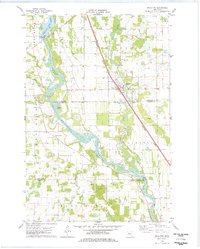
 1974 Little Rock Lake1976 Print · USGSCovers Benton County, including Sartell, Watab, and other nearby areas3 unique versions available
 - 1975 Map of Stillwater
 1975 Stillwater1975 Print · USGSCovers Benton County, including Minneapolis, Brooklyn Park, and other nearby areas2 unique versions available
 - 1978 Map of Royalton
 1978 Royalton1978 Print · USGSCovers Benton County, including Rice, Royalton, and other nearby areas
Showing maps 1-25 of 44
Top cities of Benton County
Frequently asked questions
- What are the different types of historical maps available for Benton County?
- What is the oldest map of Benton County?
- Where can I purchase historical maps of Benton County for my home or office?
- Where can I download high-res historical maps of Benton County?
- Are there historical topographic maps available for Benton County?
- Is there historical aerial imagery available for Benton County?
- Where are historical maps of Benton County sourced from?