Old Maps of Benton County, Minnesota for Genealogy
Trace your family roots with 100 historic maps of Benton County. These high-res maps reveal old neighborhoods, homesites, landmarks, and streets — helping you uncover where your ancestors lived and how the area evolved over time.
- Explore historic neighborhoods: Identify where your relatives may have lived in the 1800s or 1900s.
- Compare maps over time: Trace the changes in streets, buildings, and landmarks for multi-generational research.
- Perfect for genealogy & ancestry research: Used by family historians and researchers to map out lineage and migration.
These maps are an incredible resource for exploring your personal connection to Benton County's past.
Benton County, MN maps
(100)- 1948 Map of Pierz, 1967 Print
 1948 Pierz1967 Print · USGSMorrison and Benton Counties in the late 1940s are characterized by a dense network of rail lines and rural school districts. Genealogists can trace family roots through numerous numbered schools, St Johns Church, and local landmarks like Rosemarks Store.
 - 1948 Map of Little Falls, 1973 Print
 1948 Little Falls1973 Print · USGSMid-century Central Minnesota comes alive in this survey of the river valleys and rail towns north of St. Cloud. Genealogists can locate family landmarks like St Mary Church, Pike Creek Town Hall, and numerous rural schools from Bowlus to Royalton.
 - 1950 Map of Little Falls
 1950 Little Falls1950 Print · USGSMid-century Morrison County reveals a landscape of river-driven industry and rural township life along the Mississippi River. Genealogists can trace family roots through numerous sites like St Stan Kostka Cemetery, School No 54, and Pike Creek Town Hall.2 unique versions available
 - 1950 Map of Pierz
 1950 Pierz1950 Print · USGSIn the mid-twentieth century, this central Minnesota region was a bustling network of small farming townships and rail-connected villages. Genealogists can trace family roots through dozens of local landmarks like St Johns Church, Rosemarks Store, and numerous rural schoolhouses.
 - 1950 Map of St. Cloud, 1952 Print
 1950 St. Cloud1952 Print · USGSMid-century St. Cloud and its neighbors grew along the river as a hub of education, granite quarrying, and transport. Local researchers can locate the State Teachers College, the State Reformatory, and numerous rural schools like School No 5.3 unique versions available
 - 1953 Map of Saint Cloud, 1968 Print
 1953 Saint Cloud1968 Print · USGSCentral Minnesota's lake country and the Mississippi River valley are caught in a period of steady mid-century growth. Researchers can trace historic rail lines, old granite works, and local landmarks like St. Johns University, Camp Ripley, and the shores of Lake Minnewaska.3 unique versions available
 - 1953 Map of Stillwater, 1980 Print
 1953 Stillwater1980 Print · USGSThe Twin Cities and the St. Croix Valley are captured in this mid-century survey as the interstate era began to transform the Upper Midwest. Genealogists and historians can trace the rail-and-river geography of Stillwater, locate landmarks in Anoka, or explore the sprawling St Croix State Park.
 - 1955 Map of Stillwater, 1965 Print
 1955 Stillwater1965 Print · USGSThe Upper St. Croix Valley and the growing Twin Cities area are shown here during the mid-fifties, before the interstate era transformed the regional commute. You can trace the lines of the Northern Pacific RR through towns like Rush City or locate the Saint Croix Indian Reservation.
 - 1957 Map of Saint Cloud
 1957 Saint Cloud1957 Print · USGSCentral Minnesota's lake country and rail corridors are meticulously detailed in the mid-1950s. Genealogists and researchers can trace the growth of towns like Alexandria, Willmar, and Saint Cloud along the Great Northern railroad line.
 - 1958 Map of Stillwater
 1958 Stillwater1958 Print · USGSThe Upper Mississippi and St. Croix River valleys appear in the mid-fifties as the Twin Cities expanded north. Genealogists can locate family landmarks like Oak Park Cem, Saint Michael Church, and the Soo Line RR rail corridors.2 unique versions available
 - 1958 Map of Saint Cloud
 1958 Saint Cloud1958 Print · USGSCentral Minnesota in the mid-1950s shows a landscape of growing regional hubs and hundreds of glacial lakes connected by an extensive rail network. Genealogists and historians can trace the early footprints of Saint Cloud, Alexandria, and Willmar along the Great Northern Railway.
 - 1965 Map of Stillwater
 1965 Stillwater1965 Print · USGSThe Twin Cities and the St. Croix Valley are mapped here during a period of significant post-war growth and industrial transit. Genealogists and historians can trace rail lines like the Northern Pacific RR through towns such as Rush City, Amery, and Balsam Lake.
 - 1965 Map of St Stephen, 1966 Print
 1965 St Stephen1966 Print · USGSStearns County townships like Brockway and St Wendel are shown here in the mid-sixties as the rural school system remained highly localized. Genealogists can trace family footprints near Mt Carmel Cem or identify the specific district buildings like School No 1920 and School No 1915.2 unique versions available
 - 1968 Map of Foley, 1970 Print
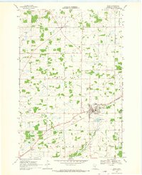 1968 Foley1970 Print · USGSBenton County agriculture and industry meet in the late sixties, where the Great Northern rail line cuts through the heart of the region. Researchers can locate the St Johns Cem, trace the course of the Elk River, and find small settlements like Jakeville and Parent.2 unique versions available
 - 1968 Map of Rum River, 1970 Print
 1968 Rum River1970 Print · USGSCentral Minnesota's river-cut wetlands are captured here in the late sixties at the convergence of three counties. Genealogists and local historians can trace rural civic life through landmarks like Granite Ledge Sch, Lakin Ch, and the local Townhall.
 - 1968 Map of Santiago, 1970 Print
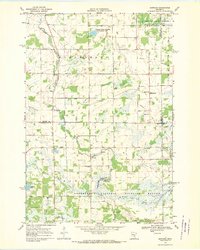 1968 Santiago1970 Print · USGSSherburne and Benton counties were characterized by quiet agricultural townships and spreading wildlife preserves during the late sixties. Genealogists and local historians can trace the foundations of Santiago and Glendorado, locating Oak Hill Cem and numerous schoolhouses.
 - 1968 Map of Ramey, 1970 Print
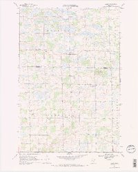 1968 Ramey1970 Print · USGSBenton and Morrison counties come to life in the late 1960s, showing a transition from old school districts to modern rural roads. Genealogists can trace family roots at Lone Pine Cem, Bethany Ch, and the many hamlets like Ramey and Brennyville.2 unique versions available
 - 1968 Map of Ronneby, 1970 Print
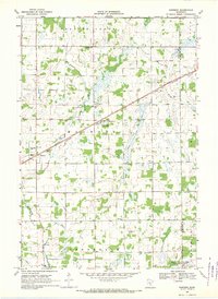 1968 Ronneby1970 Print · USGSBenton and Mille Lacs counties are mapped here in the late sixties as the agricultural and rail-driven landscape matured. Trace family history through landmarks like School No 126, Maywood Cem, and the path of the Great Northern railroad.
 - 1968 Map of Duelm, 1970 Print
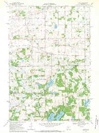 1968 Duelm1970 Print · USGSBenton and Sherburne counties appear in the late sixties as a landscape of glacial lakes and quiet township crossroads. Genealogists and local historians can locate St Lawrence Cemetery, School No 119, and the lakeside settlement of Duelm.
 - 1974 Map of Cable, 1976 Print
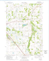 1974 Cable1976 Print · USGSBenton and Sherburne counties appear in the mid-seventies during a period of industrial and municipal expansion along the Elk River. Researchers can locate the State Reformatory, the Drive-in Theater, and the historic Cable station site along the Burlington Northern line.2 unique versions available
 - 1974 Map of Mayhew, 1976 Print
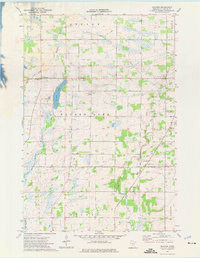 1974 Mayhew1976 Print · USGSBenton County townships are captured here in the mid-1970s, showcasing a rural landscape defined by glacial lakes and agricultural drainage. Researchers can locate family landmarks such as St Johns Ch, St Marys Cem, and the old Townhall near Fruitville.
 - 1974 Map of St. Cloud, 1976 Print
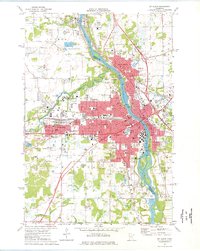 1974 St. Cloud1976 Print · USGSMid-century development in the St Cloud area is captured here as the city expanded across the Mississippi River. Researchers can trace the layout of St Cloud State College and locate numerous historical burial grounds like North Star Cem and St Joseph Cem.2 unique versions available
 - 1974 Map of Little Rock Lake, 1976 Print
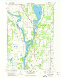 1974 Little Rock Lake1976 Print · USGSBenton and Stearns County river life in the mid-seventies centers on the winding Mississippi River and the shores of Little Rock Lake. Researchers can trace early transportation and industry through the Burlington Northern line and local landmarks like Rice Cem and Watab.3 unique versions available
 - 1975 Map of Stillwater
 1975 Stillwater1975 Print · USGSThe Twin Cities and the St. Croix Valley are captured in the mid-seventies, showing the urban growth of Minneapolis and St Paul. Researchers can trace old rail corridors of the Northern Pacific RR and locate tribal lands at the Mille Lacs Indian Reservation.2 unique versions available
 - 1978 Map of Royalton
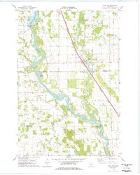 1978 Royalton1978 Print · USGSThe Mississippi and Platte rivers converge in this late 1970s survey of central Minnesota, capturing the rail-and-river economy of the day. Genealogists can trace local roots at Holy Trinity Cem and Royalton Cem, or locate family landmarks near North Prairie and Blanchard Dam.
Showing maps 1-25 of 100
Top cities of Benton County
Frequently asked questions
- What are the different types of historical maps available for Benton County?
- What is the oldest map of Benton County?
- Where can I purchase historical maps of Benton County for my home or office?
- Where can I download high-res historical maps of Benton County?
- Are there historical topographic maps available for Benton County?
- Is there historical aerial imagery available for Benton County?
- Where are historical maps of Benton County sourced from?