2020s Maps of Langola Township, Minnesota
Explore 4 historic maps of Langola Township from the 2020s. These maps offer a rare glimpse into what life looked like during the 2020s — showing old roads, neighborhoods, homes, and landmarks that have changed or disappeared over time.
Whether you're researching your family's past, planning a metal detecting trip, or studying how Langola Township's landscape evolved across the 2020s, these high-resolution maps are a powerful tool for exploring the history of this region.
- Focus on a specific era: All maps on this page are from the 2020s, giving you a focused view of this time period.
- See what’s changed: Compare century-old streets, trails, and buildings to today's modern landscape using overlays and satellite layers.
- Research with precision: Use these maps for genealogy, historical research, land use analysis, or educational projects.
- View, download, or print: Maps are fully viewable online in high resolution, and can be downloaded or printed for your own records.
Start exploring Langola Township's history through authentic maps from the 2020s. This is your window into the past.
Langola Township, MN maps
(4)- 2022 Map of Rice, 2022 Print
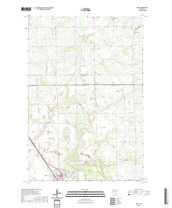 2022 Rice2022 Print · USGSThe village of Rice and the surrounding farmsteads of Benton County are captured in this recent survey. Researchers can locate family sites near Immaculate Conception Cem or trace the riparian corridors of Little Rock Cr and Sartell Swamp.
 - 2022 Map of Royalton, 2022 Print
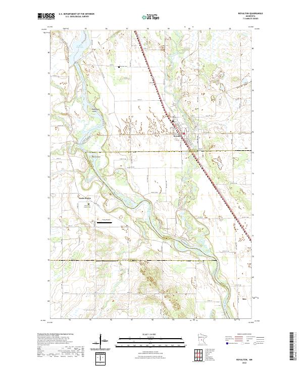 2022 Royalton2022 Print · USGSRoyalton and the Mississippi River valley are captured in this contemporary survey of the Morrison and Benton county lines. Genealogists can locate several burial sites including Pioneer Cemetery and Holy Cross Church Cem, while tracing the rural landscape of North Prairie.
 - 2022 Map of Little Rock Lake, 2022 Print
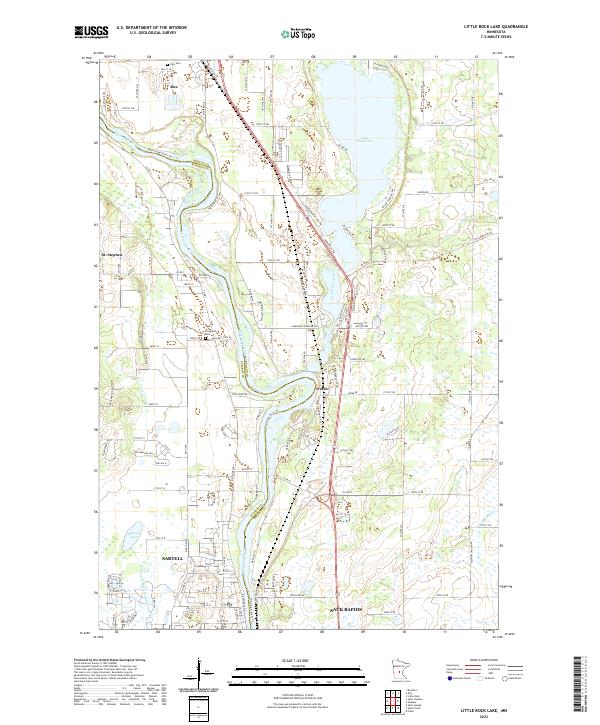 2022 Little Rock Lake2022 Print · USGSThe Mississippi River corridor near the Benton and Stearns county line comes into focus in this recent survey. Local researchers can trace family landmarks and cemeteries like Rice Cem or follow the development of Sartell and Watab along the river banks.
 - 2022 Map of Saint Stephen, 2022 Print
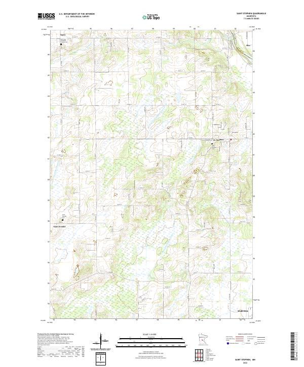 2022 Saint Stephen2022 Print · USGSThe rural communities north of St. Cloud are shown here at the start of the 2020s, highlighting the intricate drainage and township grids of the area. Genealogists can locate family sites near Saint Wendel, Opole, and Our Lady of Mount Carmel Cem.
End of results
Showing maps 1-4 of 4
Top cities near Langola Township
- St. Cloud historical maps
- Saint Cloud historical maps
- Sauk Rapids historical maps
- Sartell historical maps
- Little Falls historical maps
- Saint Joseph historical maps
See more
Frequently asked questions
- What are the different types of historical maps available for Langola Township?
- What is the oldest map of Langola Township?
- Where can I purchase historical maps of Langola Township for my home or office?
- Where can I download high-res historical maps of Langola Township?
- Are there historical topographic maps available for Langola Township?
- Is there historical aerial imagery available for Langola Township?
- Where are historical maps of Langola Township sourced from?