Old Maps of Minden Township, Minnesota for Academic Research
Study the evolution of Minden Township with 29 high-resolution historic maps. Whether you're teaching, researching, or modeling changes in land use, these maps provide essential visual documentation of urban, environmental, and geographic change.
- Analyze long-term change: Track patterns in development, transportation, and natural features.
- Ideal for environmental or urban studies: Support academic projects with primary historical map data.
- Use in the classroom or lab: Educators and researchers rely on these maps to bring historical context to life.
These maps are a powerful tool for teaching, research, and visualizing how Minden Township has changed over the decades.
Minden Township, MN maps
(29)- 1950 Map of St. Cloud, 1952 Print
 1950 St. Cloud1952 Print · USGSMid-century St. Cloud and its neighbors grew along the river as a hub of education, granite quarrying, and transport. Local researchers can locate the State Teachers College, the State Reformatory, and numerous rural schools like School No 5.3 unique versions available
 - 1953 Map of Saint Cloud, 1968 Print
 1953 Saint Cloud1968 Print · USGSCentral Minnesota's lake country and the Mississippi River valley are caught in a period of steady mid-century growth. Researchers can trace historic rail lines, old granite works, and local landmarks like St. Johns University, Camp Ripley, and the shores of Lake Minnewaska.3 unique versions available
 - 1957 Map of Saint Cloud
 1957 Saint Cloud1957 Print · USGSCentral Minnesota's lake country and rail corridors are meticulously detailed in the mid-1950s. Genealogists and researchers can trace the growth of towns like Alexandria, Willmar, and Saint Cloud along the Great Northern railroad line.
 - 1958 Map of Saint Cloud
 1958 Saint Cloud1958 Print · USGSCentral Minnesota in the mid-1950s shows a landscape of growing regional hubs and hundreds of glacial lakes connected by an extensive rail network. Genealogists and historians can trace the early footprints of Saint Cloud, Alexandria, and Willmar along the Great Northern Railway.
 - 1974 Map of Cable, 1976 Print
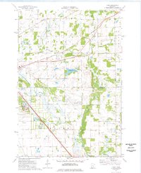 1974 Cable1976 Print · USGSBenton and Sherburne counties appear in the mid-seventies during a period of industrial and municipal expansion along the Elk River. Researchers can locate the State Reformatory, the Drive-in Theater, and the historic Cable station site along the Burlington Northern line.2 unique versions available
 - 1974 Map of Mayhew, 1976 Print
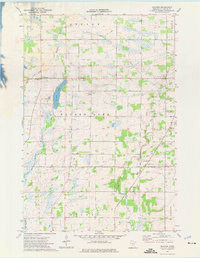 1974 Mayhew1976 Print · USGSBenton County townships are captured here in the mid-1970s, showcasing a rural landscape defined by glacial lakes and agricultural drainage. Researchers can locate family landmarks such as St Johns Ch, St Marys Cem, and the old Townhall near Fruitville.
 - 1974 Map of St. Cloud, 1976 Print
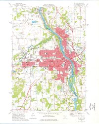 1974 St. Cloud1976 Print · USGSMid-century development in the St Cloud area is captured here as the city expanded across the Mississippi River. Researchers can trace the layout of St Cloud State College and locate numerous historical burial grounds like North Star Cem and St Joseph Cem.2 unique versions available
 - 1974 Map of Little Rock Lake, 1976 Print
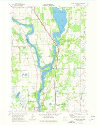 1974 Little Rock Lake1976 Print · USGSBenton and Stearns County river life in the mid-seventies centers on the winding Mississippi River and the shores of Little Rock Lake. Researchers can trace early transportation and industry through the Burlington Northern line and local landmarks like Rice Cem and Watab.3 unique versions available
 - 1986 Map of St. Cloud
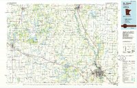 1986 St. Cloud1986 Print · USGSCentral Minnesota in the mid-1980s reveals a landscape where river industry and growing highway corridors meet traditional farming communities. Researchers can trace the layout of small-town landmarks like St Wendel Ch and St Anna Cem or follow the path of the Sauk River as it winds toward the Mississippi.2 unique versions available
 - 2010 Map of Little Rock Lake, 2010 Print
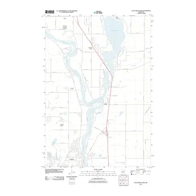 2010 Little Rock Lake2010 Print · USGSUpper Mississippi River life and the shores of Little Rock Lake are documented here in the early twenty-first century. Genealogists and local historians can trace family locations near Rice Cemetery and Brockway Cemetery or examine the small settlement of Watab.
 - 2010 Map of Mayhew, 2010 Print
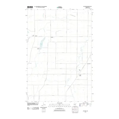 2010 Mayhew2010 Print · USGSCentral Minnesota farm country and small crossroads communities are documented here as they appeared recently. Genealogists can locate family sites near Saint Marys Cemetery or trace the early paths of Mayhew Creek and Popple Creek.
 - 2010 Map of Cable, 2010 Print
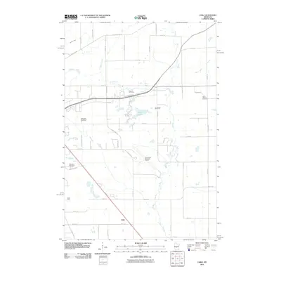 2010 Cable2010 Print · USGSThe outskirts of St. Cloud at the turn of the decade show a unique mix of aviation hubs and rural cemeteries. Genealogists and historians can locate Saint Patrick's Cemetery and the Minnesota Reformatory Cemetery or trace the path of the Elk River near Cable.
 - 2010 Map of Saint Cloud, 2010 Print
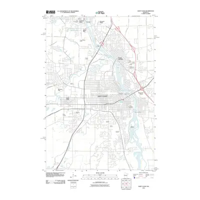 2010 Saint Cloud2010 Print · USGSSaint Cloud and Sauk Rapids are captured here in the early twenty-first century, showing the established riverfront and expanding urban grid. Researchers can find numerous burial grounds like Assumption Cemetery and institutions such as Saint Cloud State University.
 - 2013 Map of Mayhew, 2013 Print
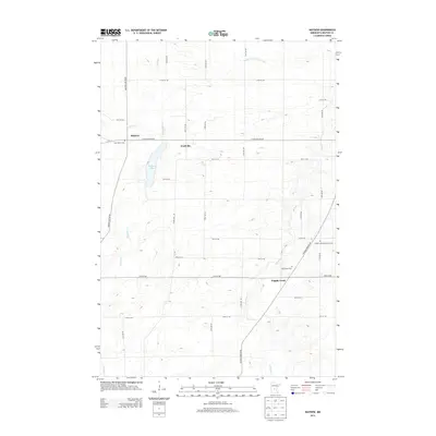 2013 Mayhew2013 Print · USGSBenton County agricultural lands and waterways are documented in this recent survey. Genealogists can locate several local burial sites, including Saint Marys Cem and the Polish Lutheran Church Cem, near settlements like Mayhew.
 - 2013 Map of Cable, 2013 Print
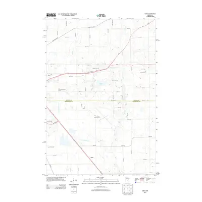 2013 Cable2013 Print · USGSSoutheast of St. Cloud in the early twenty-first century, this area shows a unique mix of aviation hubs and rural life. Researchers can locate Saint Patrick's Cem, the settlement of Cable, and trace the paths of the Elk River and Mayhew Cr.
 - 2013 Map of Little Rock Lake, 2013 Print
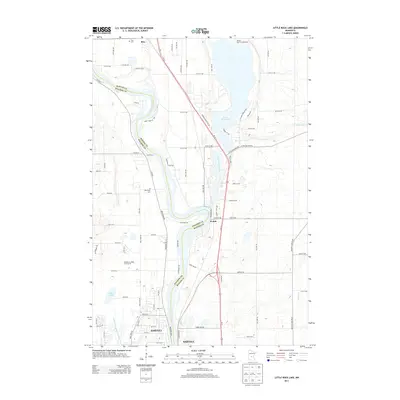 2013 Little Rock Lake2013 Print · USGSThe Mississippi River corridor between Sartell and Rice is captured here in the early twenty-first century as suburban growth meets rural lakefront. Genealogists and local historians can locate Rice Cem and Brockway Cem, or trace the winding course of Little Rock Creek toward the shores of Little Rock Lake.
 - 2013 Map of Saint Cloud, 2013 Print
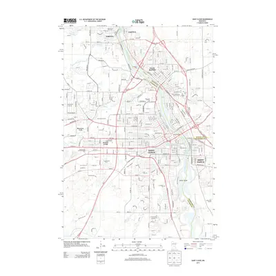 2013 Saint Cloud2013 Print · USGSGreater Saint Cloud and its neighboring river towns are captured here in the early twenty-first century as they span the banks of the Mississippi River. Genealogists and local historians can trace numerous burial sites like Saint Francis Xavier Cemetery and Oak Hill Cemetery or locate the sprawling campus of Saint Cloud State University.
 - 2016 Map of Saint Cloud, 2016 Print
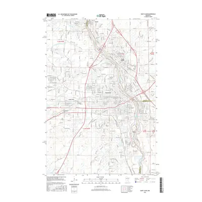 2016 Saint Cloud2016 Print · USGSCentral Minnesota's riverside hubs thrive along the Mississippi at the start of the twenty-first century. Researchers can locate numerous historic burial grounds such as Oak Hill Cem and Saint Joseph Cem, or trace the path of the Burlington Northern Santa Fe RR.
 - 2016 Map of Cable, 2016 Print
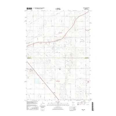 2016 Cable2016 Print · USGSSoutheast of St. Cloud in the mid-2010s, this area shows a unique mix of aviation infrastructure and historic burial grounds at the county line. Researchers can locate Saint Patrick's Cem and the Minnesota Reformatory Cem near the Elk River.
 - 2016 Map of Little Rock Lake, 2016 Print
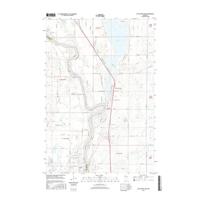 2016 Little Rock Lake2016 Print · USGSThe Mississippi River valley north of Sartell is documented here in the mid-2010s, showcasing the water-rich landscape of Benton and Stearns counties. Genealogists and local historians can locate Brockway Cem and Rice Cem or trace the drainage of Little Rock Lake.
 - 2016 Map of Mayhew, 2016 Print
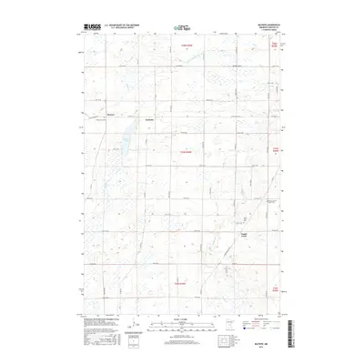 2016 Mayhew2016 Print · USGSBenton County’s rural landscape is captured here in the mid-2010s, showing a patchwork of prairie wetlands and family farmsteads. Researchers can locate specific legacy sites like Saint John's Cem, the settlement of Fruitville, and the waters of Mayhew Lake.
 - 2019 Map of Mayhew, 2019 Print
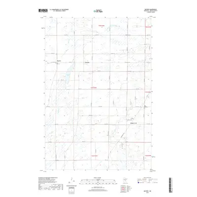 2019 Mayhew2019 Print · USGSBenton County's rural townships are documented here during the late 2010s, showing a landscape of small settlements and managed waterways. Family historians can locate several local burial grounds including Saint Marys Cem and the Polish Lutheran Church Cem near Popple Creek.
 - 2019 Map of Little Rock Lake, 2019 Print
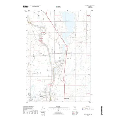 2019 Little Rock Lake2019 Print · USGSCentral Minnesota's riverfront growth is documented here as it appeared in 2019, focused on the corridor between the Mississippi River and Little Rock Lake. Researchers can trace local heritage at Rice Cem and Brockway Cem or study the rail infrastructure of the Burlington Northern Santa Fe.
 - 2019 Map of Cable, 2019 Print
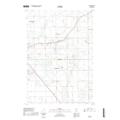 2019 Cable2019 Print · USGSGreater St. Cloud and the Benton-Sherburne county line appear in detail during this period of regional growth. Researchers can trace local history through sites like the Minnesota Reformatory Cem, the St Cloud Regional Airport, and the Jail Trail.
 - 2019 Map of Saint Cloud, 2019 Print
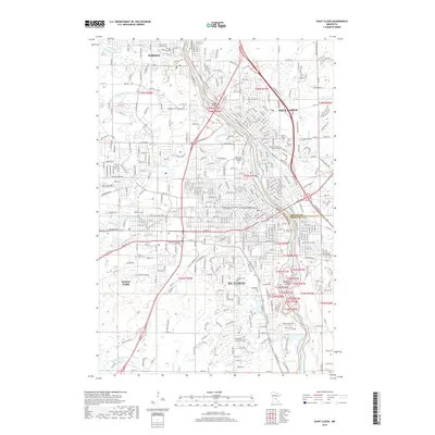 2019 Saint Cloud2019 Print · USGSSt. Cloud and its neighboring river towns are captured here in the late twenty-teens, showing the dense intersection of education, industry, and rail. Researchers can locate family heritage sites like Pioneer Benton County Cemetery or trace the path of the BNSF Railway near Saint Cloud State University.
Showing maps 1-25 of 29
Top cities near Minden Township
- St. Cloud historical maps
- Saint Cloud historical maps
- Sauk Rapids historical maps
- Sartell historical maps
- Waite Park historical maps
- Becker historical maps
See more
Top neighborhoods of Minden Township
Frequently asked questions
- What are the different types of historical maps available for Minden Township?
- What is the oldest map of Minden Township?
- Where can I purchase historical maps of Minden Township for my home or office?
- Where can I download high-res historical maps of Minden Township?
- Are there historical topographic maps available for Minden Township?
- Is there historical aerial imagery available for Minden Township?
- Where are historical maps of Minden Township sourced from?