Old Maps of Barry, Minnesota for Academic Research
Study the evolution of Barry with 11 high-resolution historic maps. Whether you're teaching, researching, or modeling changes in land use, these maps provide essential visual documentation of urban, environmental, and geographic change.
- Analyze long-term change: Track patterns in development, transportation, and natural features.
- Ideal for environmental or urban studies: Support academic projects with primary historical map data.
- Use in the classroom or lab: Educators and researchers rely on these maps to bring historical context to life.
These maps are a powerful tool for teaching, research, and visualizing how Barry has changed over the decades.
Barry, MN maps
(11)- 1916 Map of Beardsley, 1968 Print
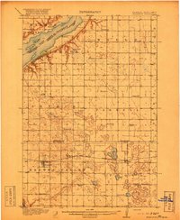
 1916 Beardsley1968 Print · USGSWestern Minnesota and the South Dakota border are captured here during the height of the steam-rail era. Genealogists and researchers can trace dozens of early rural schoolhouses, including Hilo School and Twingrove School, alongside the Great Northern line.2 unique versions available
 - 1918 Map of Beardsley
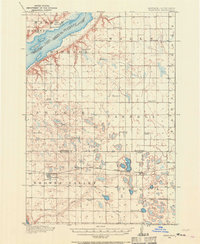
 1918 Beardsley1918 Print · USGSWestern Minnesota and the South Dakota borderlands appear here during the height of the steam rail era. Genealogists can trace family footprints across dozens of local districts, from Round Mound School to the village streets of Beardsley.3 unique versions available
 - 1953 Map of Milbank, 1958 Print
 1953 Milbank1958 Print · USGSThe tri-state border region of South Dakota, North Dakota, and Minnesota is shown here during the early fifties, a landscape defined by glacial lakes and the Sisseton Indian Reservation. Researchers can trace the legacy of the western railroads, locating old stops along the Great Northern and settlements like Milbank, Webster, and Sisseton.3 unique versions available
 - 1958 Map of Milbank
 1958 Milbank1958 Print · USGSThe northern Great Plains in the late fifties show a landscape of glacial lakes and reservation lands shaped by the Great Northern railroad. Genealogists and local historians can trace the grid of settlements from Britton to Milbank and locate landmarks like Enemy Swim Lake and the Sisseton Indian Reservation.
 - 1974 Map of Barry, 1976 Print
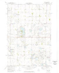 1974 Barry1976 Print · USGSBig Stone County is characterized by its prairie wetlands and rail-line settlements in the mid-1970s. Local researchers can trace the footprint of Barry along the Burlington Northern tracks and explore the numerous conservation sites like Taffe State Wildlife Management Area.
 - 1985 Map of Wheaton
 1985 Wheaton1985 Print · USGSThe tri-state border region of Minnesota and the Dakotas is captured in the mid-1980s, defined by its prairie wetlands and rail-fed farming towns. Researchers can trace the Burlington Northern line through Wheaton and Graceville or locate family-named landmarks like Carlson Island.2 unique versions available
 - 2010 Map of Barry, 2010 Print
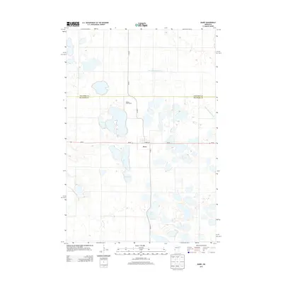
 2010 Barry2010 Print · USGSCovers Barry, including Traverse County, Big Stone County, and other nearby areas
 - 2013 Map of Barry, 2013 Print
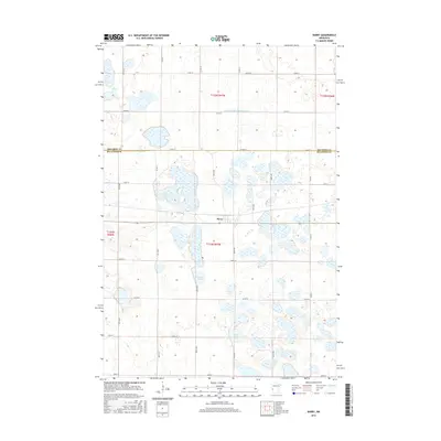
 2013 Barry2013 Print · USGSCovers Barry, including Traverse County, Big Stone County, and other nearby areas
 - 2016 Map of Barry, 2016 Print
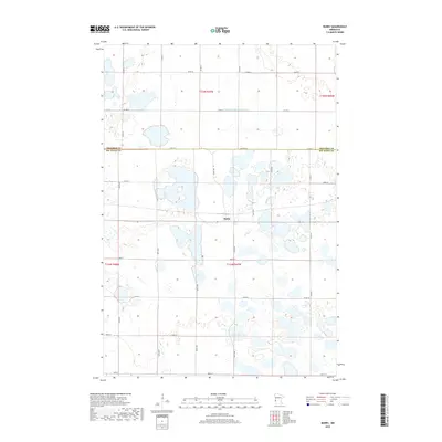
 2016 Barry2016 Print · USGSCovers Barry, including Traverse County, Big Stone County, and other nearby areas
 - 2019 Map of Barry, 2019 Print
 2019 Barry2019 Print · USGSCovers Barry, including Traverse County, Big Stone County, and other nearby areas
 - 2022 Map of Barry, 2022 Print
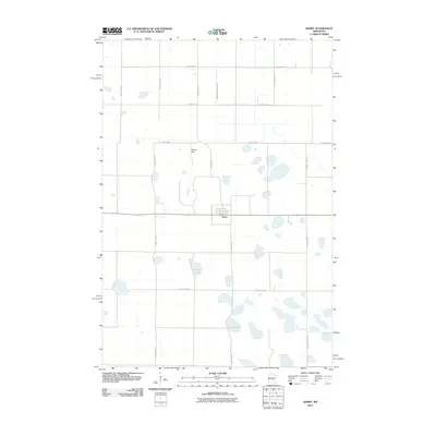
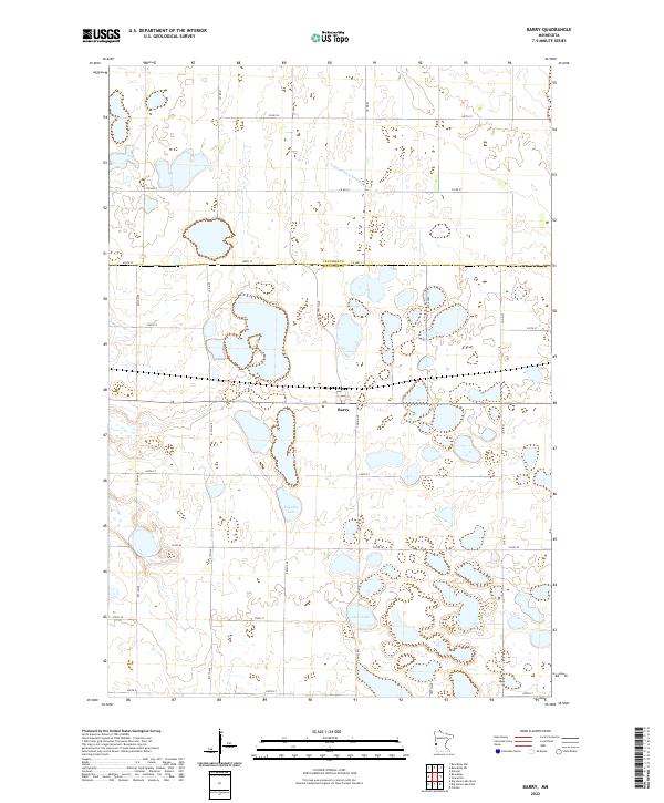 2022 Barry2022 Print · USGSWestern Minnesota prairie life is captured here in the early twenty-first century, centered on the border town of Barry. Researchers can trace the drainage of the local watershed via Judicial Ditch Number Four or locate property boundaries near Fogarty Lake and Clear Lake.
End of results
Showing maps 1-11 of 11
Top cities near Barry
- Graceville historical maps
- Clinton historical maps
- Beardsley historical maps
- Foster historical maps
- Dumont historical maps
- Corona historical maps
Frequently asked questions
- What are the different types of historical maps available for Barry?
- What is the oldest map of Barry?
- Where can I purchase historical maps of Barry for my home or office?
- Where can I download high-res historical maps of Barry?
- Are there historical topographic maps available for Barry?
- Is there historical aerial imagery available for Barry?
- Where are historical maps of Barry sourced from?