Old Maps of Amboy, Minnesota for Hiking & Exploration
Hike through history with 9 historic maps of Amboy. Explore old trails, ghost towns, and forgotten backroads — perfect for outdoor adventurers and local explorers.
- Rediscover forgotten places: Map out old mining camps, roads, and footpaths that no longer exist on modern maps.
- Layer with modern tools: Combine with LiDAR or satellite views to plan hikes through historical terrain.
- Made for exploration: Popular among hikers, overlanders, and local history lovers.
Use these maps to find adventure and explore the hidden past of Amboy.
Amboy, MN maps
(9)- 1954 Map of Fairmont, 1967 Print
 1954 Fairmont1967 Print · USGSThe prairie landscape of southern Minnesota and northern Iowa comes alive in this mid-century survey of the Coteau des Prairies. Genealogists and historians can trace the rail-connected growth of Fairmont and Blue Earth or locate family roots near St Kilian Ch and Union Slough National Wildlife Refuge.3 unique versions available
 - 1958 Map of Fairmont
 1958 Fairmont1958 Print · USGSThe borderlands of southern Minnesota and northern Iowa come alive in the mid-1950s, showing a landscape defined by glacial lakes and rail-line commerce. Researchers can trace historic landmarks like Lakeside Laboratory, Gridley Station, and the Bancroft Wildlife Refuge across the prairie.
 - 1967 Map of Amboy, 1969 Print
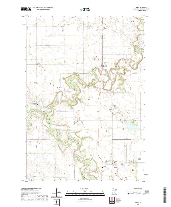
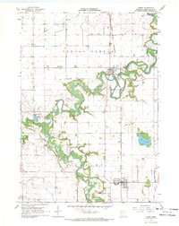 1967 Amboy1969 Print · USGSBlue Earth County's river-fed agricultural plains are captured in the late sixties as the rail line still linked its small towns. Genealogists and local researchers can trace family plots at Old Willow Creek Cem and follow the route of the Chicago and North Western through Amboy.
 - 1985 Map of Fairmont, 1991 Print
 1985 Fairmont1991 Print · USGSSouthern Minnesota in the mid-eighties shows a robust network of prairie towns and rail-connected agricultural hubs. Genealogists can trace family footprints across Rolling Green and Manyaska or locate old homesteads near Fox Lake and the Chicago & North Western line.
 - 2010 Map of Amboy, 2010 Print
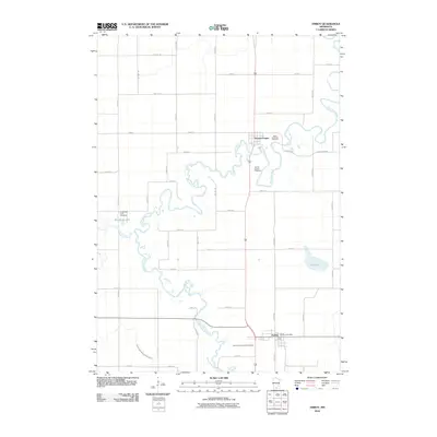 2010 Amboy2010 Print · USGSCovers Amboy, including Vernon Center, Blue Earth County, and other nearby areas
 - 2013 Map of Amboy, 2013 Print
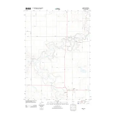 2013 Amboy2013 Print · USGSCovers Amboy, including Vernon Center, Blue Earth County, and other nearby areas
 - 2016 Map of Amboy, 2016 Print
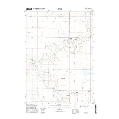 2016 Amboy2016 Print · USGSCovers Amboy, including Vernon Center, Blue Earth County, and other nearby areas
 - 2019 Map of Amboy, 2019 Print
 2019 Amboy2019 Print · USGSCovers Amboy, including Vernon Center, Blue Earth County, and other nearby areas
 - 2022 Map of Amboy, 2022 Print
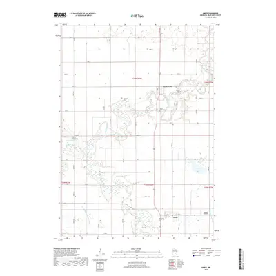
 2022 Amboy2022 Print · USGSAmboy and Vernon Center appear in this contemporary survey of the Blue Earth River valley at a time when the agricultural landscape remains deeply tied to its pioneer roots. Researchers can locate the Old Willow Creek Cem and trace the complex hydrology of Reinke Slough and the Jackson Lakebed.
End of results
Showing maps 1-9 of 9
Top cities near Amboy
- Blue Earth historical maps
- Lake Crystal historical maps
- Mapleton historical maps
- Winnebago historical maps
- Rapidan historical maps
- Garden City historical maps
See more
Frequently asked questions
- What are the different types of historical maps available for Amboy?
- What is the oldest map of Amboy?
- Where can I purchase historical maps of Amboy for my home or office?
- Where can I download high-res historical maps of Amboy?
- Are there historical topographic maps available for Amboy?
- Is there historical aerial imagery available for Amboy?
- Where are historical maps of Amboy sourced from?