Old Maps of Rambush Estates II, Lake Crystal for Hiking & Exploration
Hike through history with 13 historic maps of Rambush Estates II. Explore old trails, ghost towns, and forgotten backroads — perfect for outdoor adventurers and local explorers.
- Rediscover forgotten places: Map out old mining camps, roads, and footpaths that no longer exist on modern maps.
- Layer with modern tools: Combine with LiDAR or satellite views to plan hikes through historical terrain.
- Made for exploration: Popular among hikers, overlanders, and local history lovers.
Use these maps to find adventure and explore the hidden past of Rambush Estates II.
Rambush Estates II, Lake Crystal maps
(13)- 1951 Map of Mankato West, 1952 Print
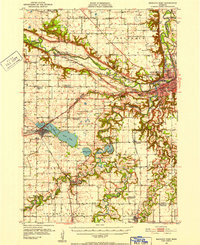 1951 Mankato West1952 Print · USGSMankato and the river valleys of Blue Earth County are captured here in the early fifties during a period of steady post-war growth. Researchers can trace rural life through the Old Grist Mill, dozens of numbered schoolhouses, and landmarks like Minneopa Falls or Good Thunder.3 unique versions available
 - 1953 Map of New Ulm, 1968 Print
 1953 New Ulm1968 Print · USGSSouthern Minnesota in the mid-1950s is defined by its deep river valleys and the expanding reach of the Great Northern and Chicago and North Western railroads. Researchers can trace rural lineages through landmarks like the Milford State Monument, St. John's Ch, and the Upper Sioux Indian Res.3 unique versions available
 - 1957 Map of New Ulm
 1957 New Ulm1957 Print · USGSCentral Minnesota in the mid-fifties remains a landscape of river-valley commerce and prairie agriculture defined by its historic mission sites and rail towns. Genealogists and local historians can trace the development of New Ulm and Montevideo, or locate specific landmarks like the Milford State Monument and Minnesota Falls.
 - 1958 Map of New Ulm
 1958 New Ulm1958 Print · USGSSouth-central Minnesota’s river valleys and prairie towns are captured here in the mid-fifties, during the height of the region's rail-and-river economy. Genealogists and historians can trace the legacy of the Upper Sioux Indian Mission or locate early rail stops along the Chicago and North Western Ry in towns like Redwood Falls and Glencoe.
 - 1967 Map of New Ulm
 1967 New Ulm1967 Print · USGSSouthern Minnesota in the mid-fifties is captured here as a landscape of river-valley missions and busy prairie rail towns. Researchers can trace the Yellow Medicine Trail and locate historic sites like the Morton Indian Mission and Milford State Monument.
 - 1974 Map of Lake Crystal, 1976 Print
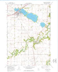 1974 Lake Crystal1976 Print · USGSLake Crystal and Garden City are captured in the mid-1970s, showcasing the intricate water systems and rail lines of Blue Earth County. Genealogists and local historians can locate Holy Family Cem, Robinson Park, and the County Fairground among the riverbeds.
 - 1986 Map of New Ulm
 1986 New Ulm1986 Print · USGSSouthern Minnesota's river valleys and prairie townships are captured here in the mid-1980s, showcasing a landscape defined by agriculture and transit. Researchers can trace the Chicago and North Western rail lines through historic grain-stop towns like Sleepy Eye, Hanska, and Good Thunder.
 - 1991 Map of New Ulm
 1991 New Ulm1991 Print · USGSThe Minnesota River valley serves as the backbone for this late-century look at the agricultural heartland between New Ulm and Mankato. Researchers can trace the layout of traditional prairie towns like Sleepy Eye and Madelia or explore recreation sites at Fort Ridgely State Park.
 - 2010 Map of Lake Crystal, 2010 Print
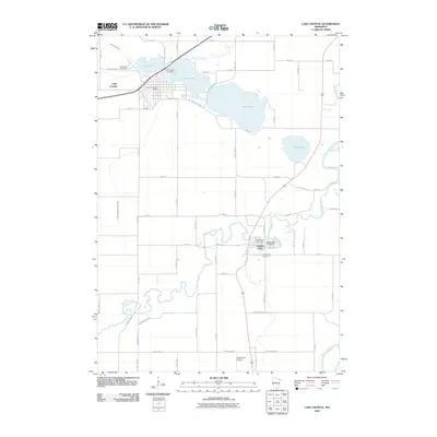 2010 Lake Crystal2010 Print · USGSCovers Rambush Estates II, including Lake Crystal, Garden City, and other nearby areas
 - 2013 Map of Lake Crystal, 2013 Print
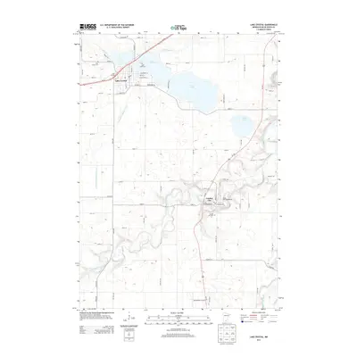 2013 Lake Crystal2013 Print · USGSCovers Rambush Estates II, including Lake Crystal, Garden City, and other nearby areas
 - 2016 Map of Lake Crystal, 2016 Print
 2016 Lake Crystal2016 Print · USGSCovers Rambush Estates II, including Lake Crystal, Garden City, and other nearby areas
 - 2019 Map of Lake Crystal, 2019 Print
 2019 Lake Crystal2019 Print · USGSCovers Rambush Estates II, including Lake Crystal, Garden City, and other nearby areas
 - 2022 Map of Lake Crystal, 2022 Print
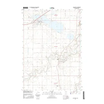
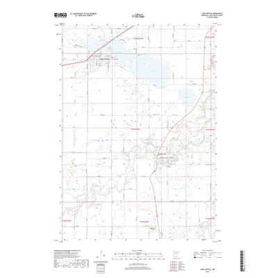
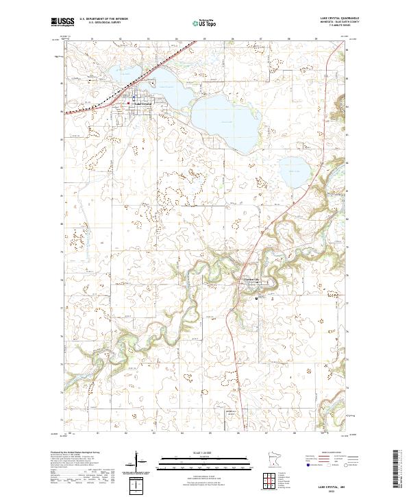 2022 Lake Crystal2022 Print · USGSLake Crystal and the Watonwan River valley appear here in the early twenty-first century, showcasing a landscape of prairie lakes and agricultural heritage. Genealogists can locate family sites near Garden City Cem or the Holy Family Cem, while collectors can trace the path of the Watonwan River.
End of results
Showing maps 1-13 of 13
Top cities near Rambush Estates II
- Mankato historical maps
- North Mankato historical maps
- New Ulm historical maps
- Lake Crystal historical maps
- Madelia historical maps
- Nicollet historical maps
See more
Frequently asked questions
- What are the different types of historical maps available for Rambush Estates II?
- What is the oldest map of Rambush Estates II?
- Where can I purchase historical maps of Rambush Estates II for my home or office?
- Where can I download high-res historical maps of Rambush Estates II?
- Are there historical topographic maps available for Rambush Estates II?
- Is there historical aerial imagery available for Rambush Estates II?
- Where are historical maps of Rambush Estates II sourced from?