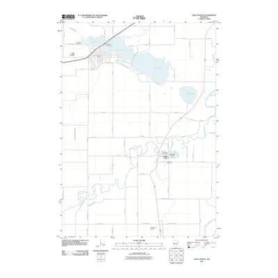
2010 Map of Lake Crystal
USGS Topo · Published 2010About this map
Lake Crystal serves as the focal point of this region, situated on the northern shore of the lake that shares its name. The town's grid is established between Lily Lake and the larger Lake Crystal basin, with the Lake Crystal Post Office and Lake Crystal Cemetery marking its civic and historical center. To the southeast, the landscape shifts toward the winding course of the Watonwan River, which meanders through the countryside before meeting the Blue Earth River at the eastern edge of the quadrangle.
Find a feature on this map
63 named features on this map. Tap any name to fly to it.
Don’t see what you’re looking for? This feature index may not catch every label — zoom into the map to look around manually.
Map Details
Editions of this 2010 Lake Crystal Map
This is the sole edition of this map. No revisions or reprints were ever made.
Other maps of this area

1951 · Mankato West
USGS Topo · 1:62,500

1953 · New Ulm
USGS Topo · 1:250,000

1954 · Fairmont
USGS Topo · 1:250,000

1957 · New Ulm
USGS Topo · 1:250,000

1958 · New Ulm
USGS Topo · 1:250,000

1958 · Fairmont
USGS Topo · 1:250,000

1965 · Perth
USGS Topo · 1:24,000

1965 · Cambria
USGS Topo · 1:24,000

1967 · New Ulm
USGS Topo · 1:250,000

1967 · Willow Creek
USGS Topo · 1:24,000