Old Maps of Mapleton, Minnesota for Academic Research
Study the evolution of Mapleton with 10 high-resolution historic maps. Whether you're teaching, researching, or modeling changes in land use, these maps provide essential visual documentation of urban, environmental, and geographic change.
- Analyze long-term change: Track patterns in development, transportation, and natural features.
- Ideal for environmental or urban studies: Support academic projects with primary historical map data.
- Use in the classroom or lab: Educators and researchers rely on these maps to bring historical context to life.
These maps are a powerful tool for teaching, research, and visualizing how Mapleton has changed over the decades.
Mapleton, MN maps
(10)- 1954 Map of Mason City, 1967 Print
 1954 Mason City1967 Print · USGSSouthern Minnesota and northern Iowa are shown here at the height of the mid-century rail era, centered on the regional hubs of Mason City and Rochester. Researchers can trace the vanished paths of the Chicago Great Western and find local landmarks like Pilot Knob and Bear Lake.2 unique versions available
 - 1957 Map of Mason City
 1957 Mason City1957 Print · USGSThe Minnesota-Iowa border region comes alive in this mid-century survey, from the industrial plants of Mason City to the medical hub of Rochester. Researchers can trace the rail-and-river economy through the Chicago Great Western Railway and the Shell Rock River.
 - 1958 Map of Mason City
 1958 Mason City1958 Print · USGSSouthern Minnesota and northern Iowa are shown during the mid-fifties when railroads still anchored the regional economy. Genealogists and historians can trace the intricate rail networks of the Illinois Central and find local landmarks in Mason City, Albert Lea, and Austin.
 - 1967 Map of Mapleton, 1969 Print
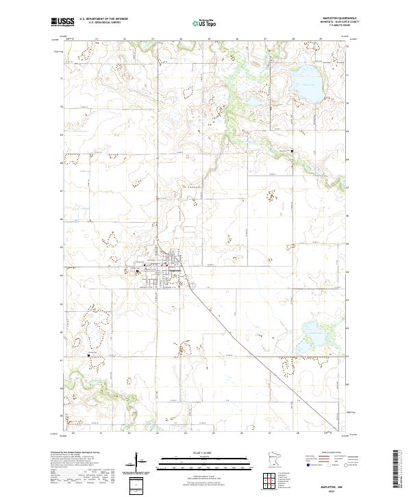
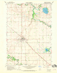 1967 Mapleton1969 Print · USGSBlue Earth County's river valleys and rail lines are captured here in the late sixties, centering on the hub of Mapleton. Researchers can trace old family cemetery plots at Beauford Cem or follow the route of the Chicago Milwaukee St Paul and Pacific railroad.
 - 1985 Map of Albert Lea
 1985 Albert Lea1985 Print · USGSSouthern Minnesota's agricultural heartland is documented here in the mid-1980s, showing a landscape defined by industrial rail lines and managed waterways. Trace the historic routes of the Chicago and North Western and explore settlements like Hollandale, New Richland, and Bricelyn.2 unique versions available
 - 2010 Map of Mapleton, 2010 Print
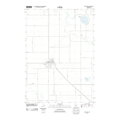 2010 Mapleton2010 Print · USGSCovers Mapleton, including Blue Earth County, United States, and other nearby areas
 - 2013 Map of Mapleton, 2013 Print
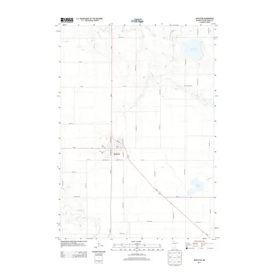 2013 Mapleton2013 Print · USGSCovers Mapleton, including Blue Earth County, United States, and other nearby areas
 - 2016 Map of Mapleton, 2016 Print
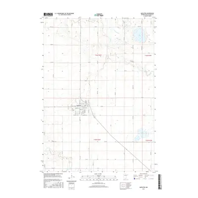 2016 Mapleton2016 Print · USGSCovers Mapleton, including Blue Earth County, United States, and other nearby areas
 - 2019 Map of Mapleton, 2019 Print
 2019 Mapleton2019 Print · USGSCovers Mapleton, including Blue Earth County, United States, and other nearby areas
 - 2022 Map of Mapleton, 2022 Print
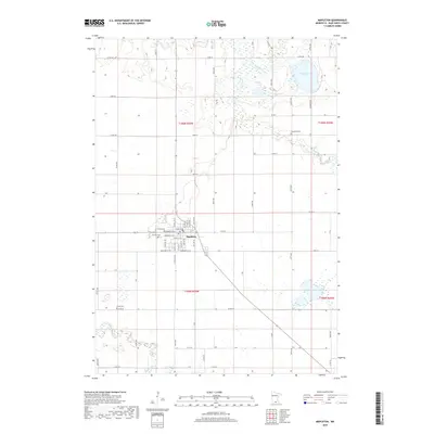
 2022 Mapleton2022 Print · USGSThe town of Mapleton and its surrounding agricultural townships are documented here during the early twenty-first century. Genealogists and local historians can locate family burial plots at Union Cem and Beauford Cem or trace the riverbanks of the Cobb River and Maple River.
End of results
Showing maps 1-10 of 10
Top cities near Mapleton
- Mankato historical maps
- Wells historical maps
- Eagle Lake historical maps
- Winnebago historical maps
- Rapidan historical maps
- Garden City historical maps
See more
Frequently asked questions
- What are the different types of historical maps available for Mapleton?
- What is the oldest map of Mapleton?
- Where can I purchase historical maps of Mapleton for my home or office?
- Where can I download high-res historical maps of Mapleton?
- Are there historical topographic maps available for Mapleton?
- Is there historical aerial imagery available for Mapleton?
- Where are historical maps of Mapleton sourced from?