2000s (21st Century) Maps of Carver, Minnesota
Explore 20 historic maps of Carver from the 2000s (21st Century). These maps offer a rare glimpse into what life looked like during the 2000s — showing old roads, neighborhoods, homes, and landmarks that have changed or disappeared over time.
Whether you're researching your family's past, planning a metal detecting trip, or studying how Carver's landscape evolved across the 2000s, these high-resolution maps are a powerful tool for exploring the history of this region.
- Focus on a specific era: All maps on this page are from the 2000s, giving you a focused view of this time period.
- See what’s changed: Compare century-old streets, trails, and buildings to today's modern landscape using overlays and satellite layers.
- Research with precision: Use these maps for genealogy, historical research, land use analysis, or educational projects.
- View, download, or print: Maps are fully viewable online in high resolution, and can be downloaded or printed for your own records.
Start exploring Carver's history through authentic maps from the 2000s. This is your window into the past.
Carver, MN maps
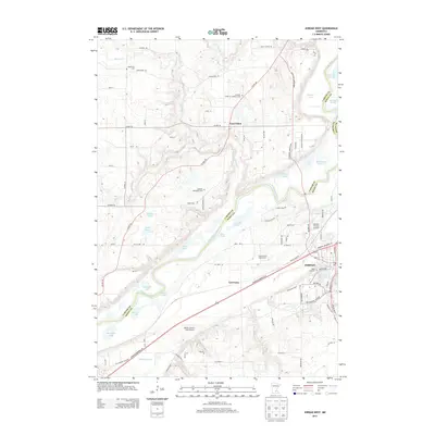
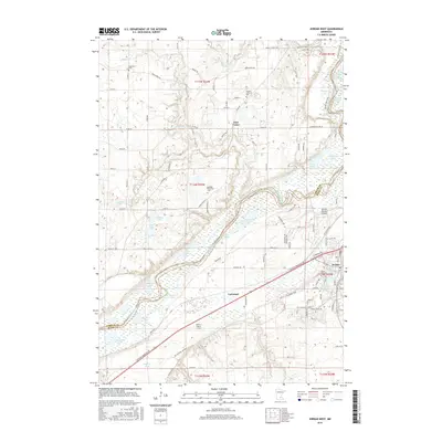
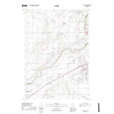
(20)- 2010 Map of Jordan West, 2010 Print
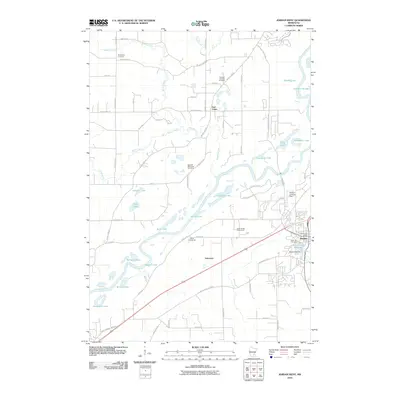 2010 Jordan West2010 Print · USGSCovers Carver, including Jordan, Belle Plaine, and other nearby areas
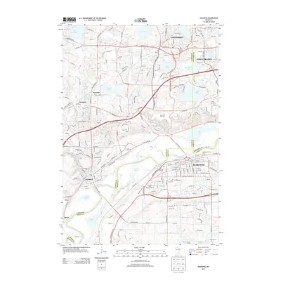
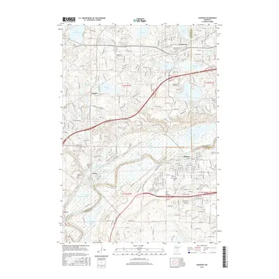
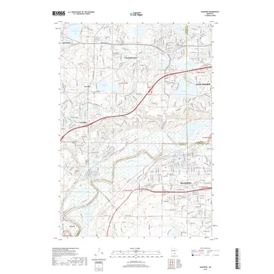
 - 2010 Map of Shakopee, 2010 Print
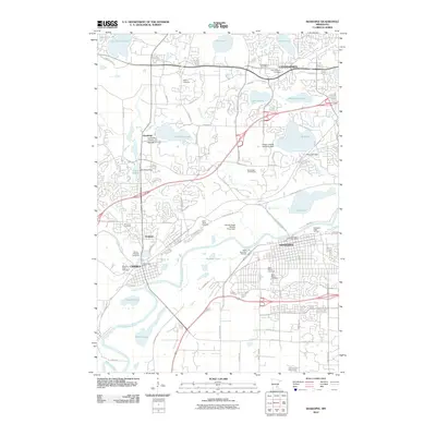 2010 Shakopee2010 Print · USGSCovers Carver, including Eden Prairie, Shakopee, and other nearby areas
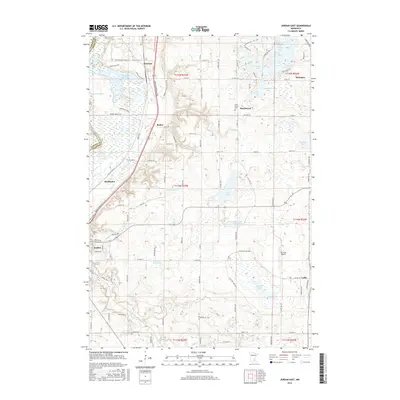
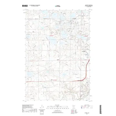
 - 2010 Map of Jordan East, 2010 Print
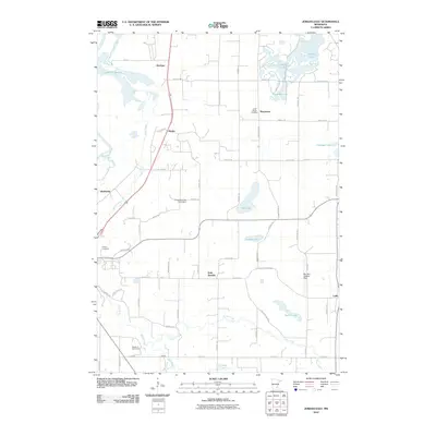 2010 Jordan East2010 Print · USGSCovers Carver, including Shakopee, Prior Lake, and other nearby areas
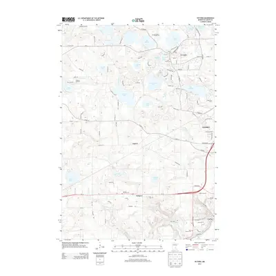
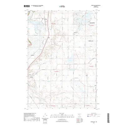
 - 2010 Map of Victoria, 2010 Print
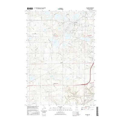
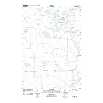 2010 Victoria2010 Print · USGSCovers Carver, including Chaska, Chanhassen, and other nearby areas
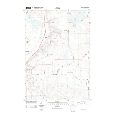
 - 2013 Map of Jordan West, 2013 Print
 2013 Jordan West2013 Print · USGSCovers Carver, including Jordan, Belle Plaine, and other nearby areas
 - 2013 Map of Shakopee, 2013 Print
 2013 Shakopee2013 Print · USGSCovers Carver, including Eden Prairie, Shakopee, and other nearby areas
 - 2013 Map of Jordan East, 2013 Print
 2013 Jordan East2013 Print · USGSCovers Carver, including Shakopee, Prior Lake, and other nearby areas
 - 2013 Map of Victoria, 2013 Print
 2013 Victoria2013 Print · USGSCovers Carver, including Chaska, Chanhassen, and other nearby areas
 - 2016 Map of Victoria, 2016 Print
 2016 Victoria2016 Print · USGSCovers Carver, including Chaska, Chanhassen, and other nearby areas
 - 2016 Map of Jordan West, 2016 Print
 2016 Jordan West2016 Print · USGSCovers Carver, including Jordan, Belle Plaine, and other nearby areas
 - 2016 Map of Jordan East, 2016 Print
 2016 Jordan East2016 Print · USGSCovers Carver, including Shakopee, Prior Lake, and other nearby areas
 - 2016 Map of Shakopee, 2016 Print
 2016 Shakopee2016 Print · USGSCovers Carver, including Eden Prairie, Shakopee, and other nearby areas
 - 2019 Map of Jordan West, 2019 Print
 2019 Jordan West2019 Print · USGSCovers Carver, including Jordan, Belle Plaine, and other nearby areas
 - 2019 Map of Jordan East, 2019 Print
 2019 Jordan East2019 Print · USGSCovers Carver, including Shakopee, Prior Lake, and other nearby areas
 - 2019 Map of Victoria, 2019 Print
 2019 Victoria2019 Print · USGSCovers Carver, including Chaska, Chanhassen, and other nearby areas
 - 2019 Map of Shakopee, 2019 Print
 2019 Shakopee2019 Print · USGSCovers Carver, including Eden Prairie, Shakopee, and other nearby areas
 - 2022 Map of Jordan East, 2022 Print
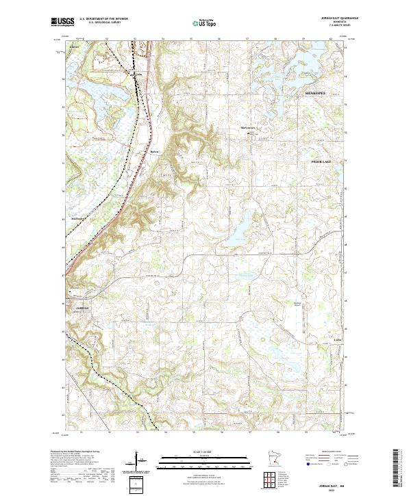 2022 Jordan East2022 Print · USGSScott County enters the 2020s as a landscape of historic crossroads and glacial lakes south of the Minnesota River. Researchers can trace family roots at Saint Mary's Cem or locate old community centers like Merriam, Mudbaden, and Lydia.
 - 2022 Map of Jordan West, 2022 Print
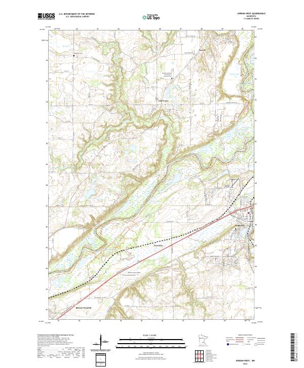 2022 Jordan West2022 Print · USGSThe Minnesota River bottomlands near Jordan and Belle Plaine are captured here in a contemporary 2022 survey. Researchers can trace the river's path between CARVER CO and SCOTT CO, locating landmarks like Stocker Airport and the Augustana Cem.
 - 2022 Map of Shakopee, 2022 Print
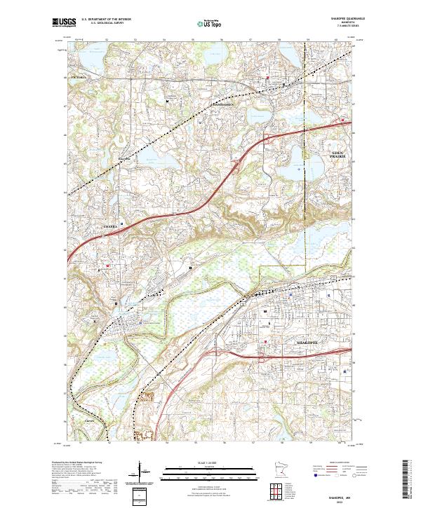 2022 Shakopee2022 Print · USGSThe Minnesota River valley serves as the centerpiece for this contemporary survey of Carver and Scott Counties. Researchers can trace local heritage through numerous sites like Chanhassen Pioneer Cem, Saint John's Cem, and the old clayholes of Chaska.
 - 2022 Map of Victoria, 2022 Print
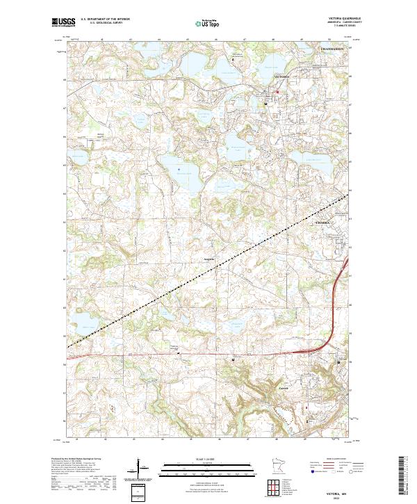 2022 Victoria2022 Print · USGSVictoria and Carver County at the start of the 2020s reveal a landscape of suburban growth intertwined with traditional rural landmarks. Genealogists can locate several local burial sites including Saint Victoria Cem and German Reformed Cem among the region's many lakes.
End of results
Showing maps 1-20 of 20
Top cities near Carver
- Plymouth historical maps
- Eden Prairie historical maps
- Saint Louis Park historical maps
- Minnetonka historical maps
- Edina historical maps
- Shakopee historical maps
See more
Frequently asked questions
- What are the different types of historical maps available for Carver?
- What is the oldest map of Carver?
- Where can I purchase historical maps of Carver for my home or office?
- Where can I download high-res historical maps of Carver?
- Are there historical topographic maps available for Carver?
- Is there historical aerial imagery available for Carver?
- Where are historical maps of Carver sourced from?