Old Maps of Laketown Township, Minnesota for Metal Detecting
Plan your next treasure hunt with 31 historic maps of Laketown Township. Find old homesites, ghost towns, trails, and gathering spots that may be lost to time — perfect for identifying promising metal detecting locations.
- Locate forgotten sites: Uncover places like long-lost settlements, abandoned rail lines, or gathering spots.
- Plan better hunts: Use map overlays combined with LiDAR or satellite views to narrow in on historically rich areas.
- Made for detectorists: Thousands of hobbyists use these maps to discover relics, coins, and hidden history.
Use these historic maps to boost your research and find new opportunities beneath the surface of Laketown Township.
Laketown Township, MN maps
(31)- 1905 Map of Minnetonka, 1957 Print
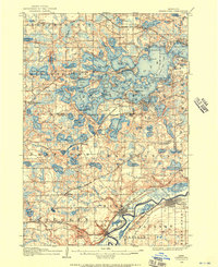 1905 Minnetonka1957 Print · USGSLake Minnetonka and the Minnesota River valley are seen here during the early twentieth century as the region's resort and rail economy reached its height. Genealogists and historians can trace rail stops like Mound Sta, the summer colonies of Deephaven, and the riverfront streets of Chaska.
- 1907 Map of Minnetonka
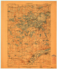 1907 Minnetonka1907 Print · USGSLake Minnetonka was a premier summer destination at the turn of the century, crisscrossed by a Steamboat Route and multiple railroads. Genealogists and historians can trace old lakeside landings and early rail stops like Spring Park Sta, Mound Sta, and Zumbra Heights Sta.3 unique versions available
- 1953 Map of Saint Paul, 1964 Print
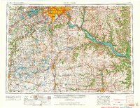 1953 Saint Paul1964 Print · USGSThe Twin Cities and the Mississippi River valley are captured here at a mid-century turning point. Trace the early growth of Minneapolis and Saint Paul alongside landmarks like Lake Minnetonka and the St Croix River.4 unique versions available
- 1957 Map of Waconia, 1959 Print
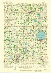 1957 Waconia1959 Print · USGSCarver County and parts of Wright County are captured in the late fifties, showing a rural landscape in transition. Genealogists can trace family roots through numerous small schools and cemeteries, including St Mark Cem, Oakland Cem, and the Hydes Lake Sch.2 unique versions available
- 1958 Map of Victoria, 1959 Print
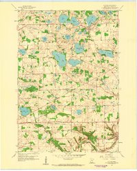 1958 Victoria1959 Print · USGSCarver County’s farming communities and lake country are captured here in the late fifties, just before the expansion of the Twin Cities suburbs. Genealogists and local historians can locate rural landmarks like Lake Auburn Church, Mt Hope Cemetery, and School No 106.4 unique versions available
- 1958 Map of Mound, 1959 Print
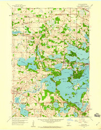 1958 Mound1959 Print · USGSThe western shores of Lake Minnetonka are captured here in the late fifties, showing a landscape of burgeoning lakeside communities and established rail lines. Genealogists and local historians can trace family-named points and historic sites like Phelps Island, the Jesuit Seminary, and the Copeland Sch.4 unique versions available
- 1958 Map of Lake Minnetonka, 1959 Print
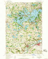 1958 Lake Minnetonka1959 Print · USGSThe western suburbs of Minneapolis appear in a period of transition during the late fifties, centered on the complex shores of Lake Minnetonka. Genealogists and historians can trace the foundations of Wayzata, Deephaven, and Shakopee, or locate family landmarks like Calvin Ch and the Jesuit Seminary.2 unique versions available
- 1959 Map of Saint Paul
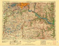 1959 Saint Paul1959 Print · USGSThe Twin Cities and southeastern Minnesota appear here in the late fifties, showing the peak of the rail era and post-war suburban growth. Genealogists can trace family footprints near Lake Minnetonka, the Univ Of Minn Rosemount Research Center, or the growing neighborhoods of Richfield.2 unique versions available
- 1981 Map of Watertown, 1982 Print
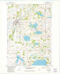 1981 Watertown1982 Print · USGSCarver County and its neighboring townships are captured here in the early eighties, showcasing a region defined by its numerous lakes and the South Fork Crow River. Researchers can locate historic sites like Trinity Cem, St Peters Ch, and the winding Luce Line Trail.2 unique versions available
- 1981 Map of Waconia, 1982 Print
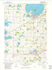 1981 Waconia1982 Print · USGSCarver County during the early eighties shows a landscape of glacial lakes and growing lakeside communities. Genealogists can locate family sites near St Josephs Cem, Scandia Cem, or rural schools like School No 104 while tracing the dual rail lines.2 unique versions available
- 1985 Map of Saint Paul
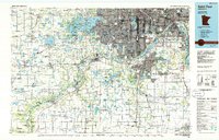 1985 Saint Paul1985 Print · USGSThe Twin Cities metropolitan area and its southern suburbs are captured here in the mid-eighties as the urban landscape expanded toward the Minnesota River. Researchers can trace the layout of the Fort Snelling Military Reservation, find local landmarks like St Benedict Church, and study the rail routes of the Soo Line.2 unique versions available
- 2010 Map of Waconia, 2010 Print
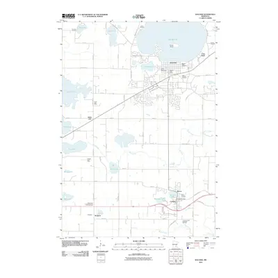 2010 Waconia2010 Print · USGSThe lakeside community of Waconia and the surrounding Carver County farmsteads are captured here in the early twenty-first century. Genealogists and local researchers can locate numerous historic burial sites and rural landmarks, from Waconia Public Cemetery to the Hydes Lake School.
- 2010 Map of Watertown, 2010 Print
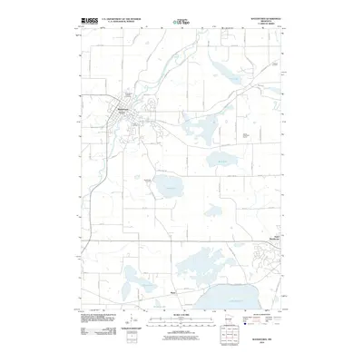 2010 Watertown2010 Print · USGSSoutheastern Minnesota was defined by its lakes and river bends in the early twenty-first century, even as local infrastructure expanded. Genealogists and historians can trace cemetery locations like Trinity Cemetery and natural landmarks such as Goose Lake or the South Fork Crow River.
- 2010 Map of Mound, 2010 Print
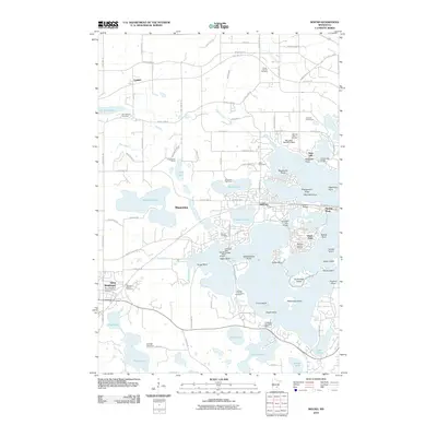 2010 Mound2010 Print · USGSThe western bays of Lake Minnetonka are captured here in the early twenty-first century, showing the established communities of Mound and Saint Bonifacius. Family historians can trace local roots at the Halsted Family Cemetery or locate landmarks like the Peil-Juliar Seaplane Base and Saga Hill.
- 2010 Map of Victoria, 2010 Print
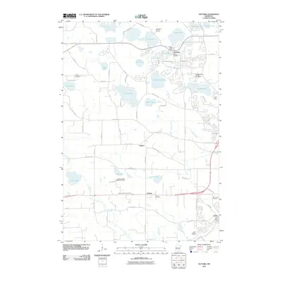 2010 Victoria2010 Print · USGSVictoria and the surrounding Carver County lake country are documented here in the early 2000s as residential growth meets long-standing rural settlements. Researchers can locate numerous local landmarks including the Victoria Post Office, Molnau Airpark, and the Lake Auburn Moravian Cemetary.
- 2013 Map of Watertown, 2013 Print
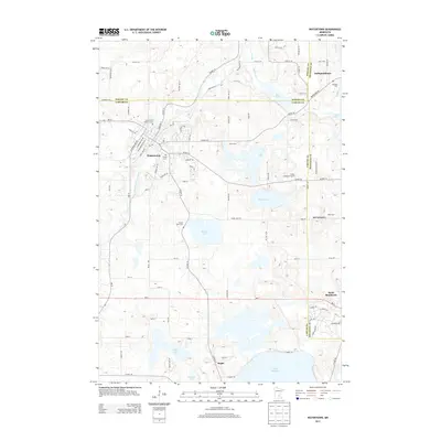 2013 Watertown2013 Print · USGSWatertown and the surrounding lake country of Carver and Hennepin Counties are shown here during a period of steady suburban and rural development. Genealogists can locate legacy burial grounds like Swede Lake Cem and Oakland Cem while tracing the banks of the South Fork Crow River.
- 2013 Map of Mound, 2013 Print
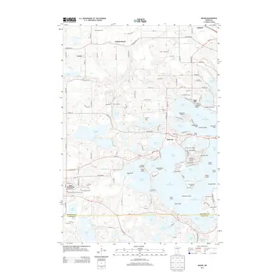 2013 Mound2013 Print · USGSThe western reaches of Lake Minnetonka are captured here in the early twenty-first century, showcasing a landscape defined by intricate bays and island communities. Researchers can trace family history at several local burial grounds, including the Halsted Family Cem, Mound Cem, and Minnestrista Cem.
- 2013 Map of Waconia, 2013 Print
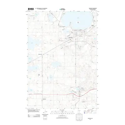 2013 Waconia2013 Print · USGSThe lakeside community of Waconia and its surrounding agricultural townships are captured here during a period of steady growth. Researchers can trace family roots at Saint Joseph's Cemetery or locate old rural centers like Bongards and Cologne.
- 2013 Map of Victoria, 2013 Print
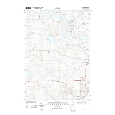 2013 Victoria2013 Print · USGSIn the early twenty-first century, the lake country of Carver County was a mix of growing suburban centers and traditional farming communities. Genealogists can trace family roots through numerous burial sites like German Reformed Cem and Preiss Cem or explore the geography of Augusta and Dahlgren.
- 2016 Map of Watertown, 2016 Print
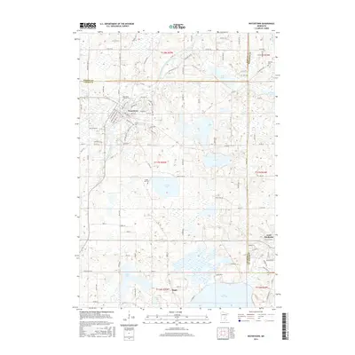 2016 Watertown2016 Print · USGSThe river valleys and glacial lakes west of the Twin Cities are captured here in the mid-2010s, showing the settled landscapes of Carver and Hennepin counties. Genealogists can locate family sites at Saint Paul's Catholic Cem and Swede Lake Cem or trace the early paths of Old State Hwy 7.
- 2016 Map of Victoria, 2016 Print
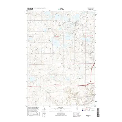 2016 Victoria2016 Print · USGSThe lake-strewn landscape of Carver County is shown here in the mid-2010s during a period of suburban growth. Family researchers can pinpoint historic burial sites like German Reformed Cem or trace the early settlement footprints of Augusta and Victoria.
- 2016 Map of Waconia, 2016 Print
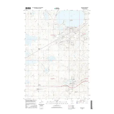 2016 Waconia2016 Print · USGSCarver County’s lake-country landscape is captured here in the mid-2010s, showing the growth of Waconia and Cologne amidst a dense network of glacial basins. Researchers can locate several family and parish burial grounds like Saint Josephs Cem and Saint Bernard Cem or trace the TC & W RR through the settlements of Benton and Bongards.
- 2016 Map of Mound, 2016 Print
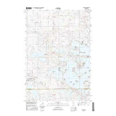 2016 Mound2016 Print · USGSThe western bays of Lake Minnetonka are shown here in the mid-2010s, capturing a landscape of intricate shorelines and lakeside communities. Genealogists and historians can trace local roots through the Halsted Family Cem, Mound Cem, and landmarks like Saga Hill.
- 2019 Map of Watertown, 2019 Print
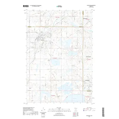 2019 Watertown2019 Print · USGSThe western edges of the Twin Cities metro appear as a network of lakes and river bends in the late 2010s. Researchers can trace family history through several local burial grounds, including Saint Paul's Catholic Cem and Oakland Cem.
- 2019 Map of Victoria, 2019 Print
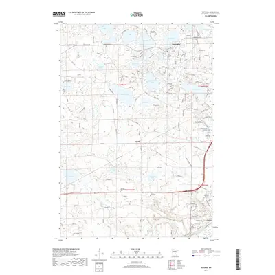 2019 Victoria2019 Print · USGSVictoria and Chaska are captured here during a period of modern growth amidst the numerous glacial lakes of Carver County. Researchers can locate several burial grounds like Lake Auburn Moravian Cem and Preiss Cem, or trace the layout of the Molnau Airpark.
Showing maps 1-25 of 31
Top cities near Laketown Township
- Plymouth historical maps
- Maple Grove historical maps
- Eden Prairie historical maps
- Minnetonka historical maps
- Shakopee historical maps
- Chaska historical maps
See more
Frequently asked questions
- What are the different types of historical maps available for Laketown Township?
- What is the oldest map of Laketown Township?
- Where can I purchase historical maps of Laketown Township for my home or office?
- Where can I download high-res historical maps of Laketown Township?
- Are there historical topographic maps available for Laketown Township?
- Is there historical aerial imagery available for Laketown Township?
- Where are historical maps of Laketown Township sourced from?