Old Maps of Federal Dam, Minnesota for Hiking & Exploration
Hike through history with 25 historic maps of Federal Dam. Explore old trails, ghost towns, and forgotten backroads — perfect for outdoor adventurers and local explorers.
- Rediscover forgotten places: Map out old mining camps, roads, and footpaths that no longer exist on modern maps.
- Layer with modern tools: Combine with LiDAR or satellite views to plan hikes through historical terrain.
- Made for exploration: Popular among hikers, overlanders, and local history lovers.
Use these maps to find adventure and explore the hidden past of Federal Dam.
Federal Dam, MN maps
(25)- 1954 Map of Bemidji, 1966 Print
 1954 Bemidji1966 Print · USGSNorthern Minnesota's lake country and timberlands are captured here at a mid-century peak of rail and road expansion. Genealogists and historians can trace family roots through numerous small settlements like Mahnomen, Clearbrook, and Walker, while locating local landmarks such as White Earth Church.4 unique versions available
 - 1957 Map of Bemidji
 1957 Bemidji1957 Print · USGSNorthern Minnesota in the mid-fifties is defined by its massive lake systems and the sprawling timberlands of the Chippewa National Forest. Genealogists and researchers can trace old rail lines like the Great Northern RR and locate settlements such as Moberg, Naytahwaush, and Lake Itasca.
 - 1958 Map of Bemidji
 1958 Bemidji1958 Print · USGSNorthern Minnesota in the late fifties is a vast landscape of tribal lands and timber forests tied together by rail. Genealogists and researchers can trace old rail stops and lakeside communities from Walker to Fosston, or explore the source of the Mississippi at Lake Itasca.
 - 1971 Map of Federal Dam, 1974 Print
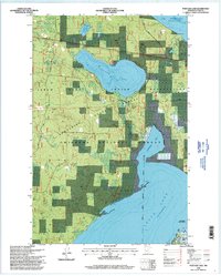
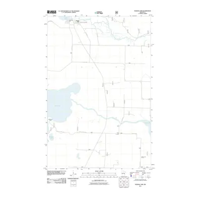
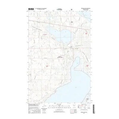
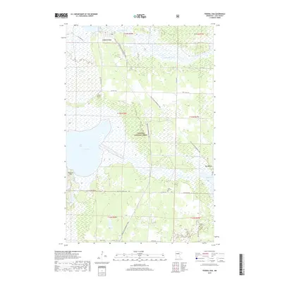
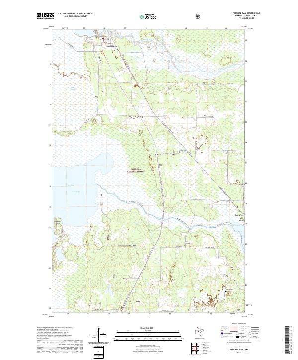
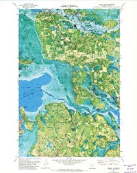 1971 Federal Dam1974 Print · USGSThe Leech Lake region in the early seventies shows a landscape where timber and water resources intersect with the Leech Lake Indian Reservation. Genealogists and historians can trace local landmarks like Federal Dam, the Island Zion Ch, and the recreation areas around Boy River.
 - 1971 Map of Portage Lake, 1974 Print
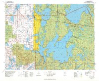
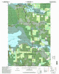
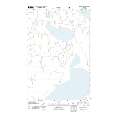
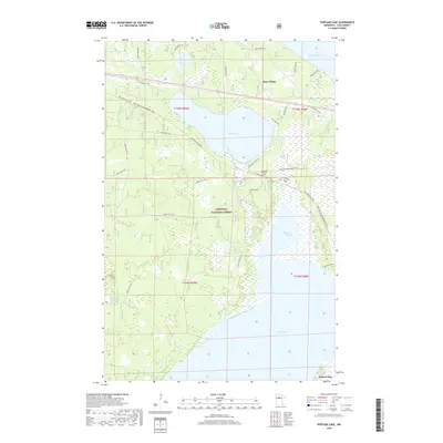
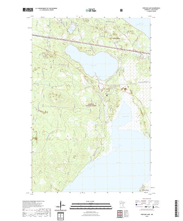
 1971 Portage Lake1974 Print · USGSThe Cass County lake country comes to life in the early 1970s, showcasing the intersection of Indigenous lands and the national forest. Trace rail history along the Burlington Northern or locate landmarks like Ryan Village and the Federal Dam.
 - 1971 Map of Sugar Point, 1974 Print
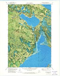
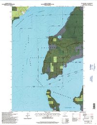
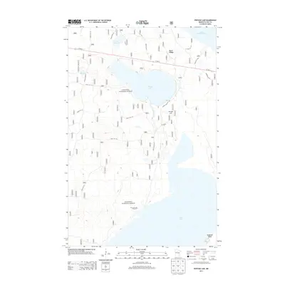
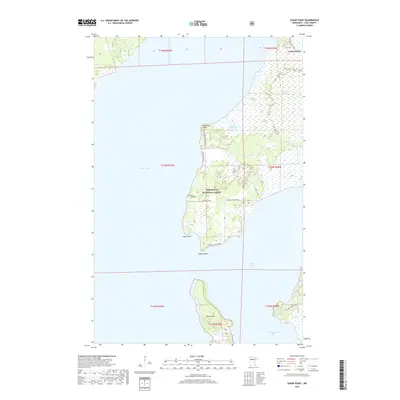
 1971 Sugar Point1974 Print · USGSLeech Lake and its surrounding reservation lands are captured in this early 1970s orthophotomap during a period of active forest management. Family historians can locate White Cloud Cem and trace the shorelines of Sugar Point and Battle Point.
 - 1977 Map of Cass Lake, 1978 Print
 1977 Cass Lake1978 Print · USGSThe northern Minnesota lake country is shown in the late seventies, dominated by the massive waters of Leech Lake and the headwaters of the Mississippi. Genealogists and local historians can trace lakeside settlements like Walker and Onigum, or locate the State College in Bemidji.
 - 1996 Map of Portage Lake, 1998 Print
 1996 Portage Lake1998 Print · USGSThe Cass County shoreline and forest interiors are captured here in the mid-1990s, where public lands and tribal territories intersect. Researchers can trace historical settlement at Ryan Village, locate family roots at Rabbits Cemetery, and study the landscape around Federal Dam.
 - 1996 Map of Sugar Point, 1998 Print
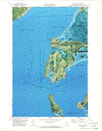
 1996 Sugar Point1998 Print · USGSNorthern Minnesota's lake country is captured here in the mid-1990s, where the reservation meets the national forest along the shores of Leech Lake. Local historians can trace the site of the Battleground and locate the White Cloud Cemetery.2 unique versions available
 - 1996 Map of Federal Dam, 1998 Print
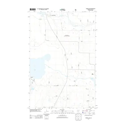
 1996 Federal Dam1998 Print · USGSThe Cass County lake country comes into focus in the mid-1990s, where water and forest management define the landscape. Researchers can locate the Island Lake Cemetery, the site of the Sugar Point Battleground, and the hydrologic works at Federal Dam.
 - 2011 Map of Sugar Point, 2011 Print
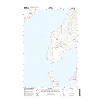
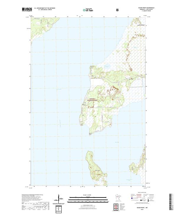
 2011 Sugar Point2011 Print · USGSCovers Federal Dam, including Cass County, United States, and other nearby areas
 - 2011 Map of Federal Dam, 2011 Print
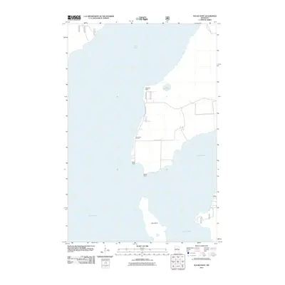
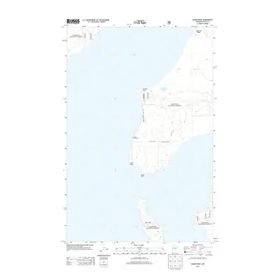
 2011 Federal Dam2011 Print · USGSCovers Federal Dam, including Boy River, Cass County, and other nearby areas
 - 2011 Map of Portage Lake, 2011 Print
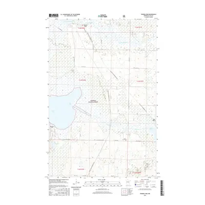
 2011 Portage Lake2011 Print · USGSCovers Federal Dam, including Ryan Village, Cass County, and other nearby areas
 - 2013 Map of Portage Lake, 2013 Print
 2013 Portage Lake2013 Print · USGSCovers Federal Dam, including Ryan Village, Cass County, and other nearby areas
 - 2013 Map of Federal Dam, 2013 Print
 2013 Federal Dam2013 Print · USGSCovers Federal Dam, including Boy River, Cass County, and other nearby areas
 - 2013 Map of Sugar Point, 2013 Print
 2013 Sugar Point2013 Print · USGSCovers Federal Dam, including Cass County, United States, and other nearby areas
 - 2016 Map of Sugar Point, 2016 Print
 2016 Sugar Point2016 Print · USGSCovers Federal Dam, including Cass County, United States, and other nearby areas
 - 2016 Map of Federal Dam, 2016 Print
 2016 Federal Dam2016 Print · USGSCovers Federal Dam, including Boy River, Cass County, and other nearby areas
 - 2016 Map of Portage Lake, 2016 Print
 2016 Portage Lake2016 Print · USGSCovers Federal Dam, including Ryan Village, Cass County, and other nearby areas
 - 2019 Map of Federal Dam, 2019 Print
 2019 Federal Dam2019 Print · USGSCovers Federal Dam, including Boy River, Cass County, and other nearby areas
 - 2019 Map of Sugar Point, 2019 Print
 2019 Sugar Point2019 Print · USGSCovers Federal Dam, including Cass County, United States, and other nearby areas
 - 2019 Map of Portage Lake, 2019 Print
 2019 Portage Lake2019 Print · USGSCovers Federal Dam, including Ryan Village, Cass County, and other nearby areas
 - 2022 Map of Sugar Point, 2022 Print
 2022 Sugar Point2022 Print · USGSLeech Lake and its surrounding wetlands define this Cass County landscape in the early 2020s. Researchers can locate the White Cloud Cem and trace the shoreline roads connecting Sugar Point to the Leech River at Federal Dam.
 - 2022 Map of Portage Lake, 2022 Print
 2022 Portage Lake2022 Print · USGSThe deep woods of Cass County appear in this recent survey, showcasing the interconnected waters of Leech Lake and Lake Winnibigoshish. Genealogists and local historians can trace the vicinity of Ryan Village or locate Rabbits Cem near the shores of Portage Lake.
 - 2022 Map of Federal Dam, 2022 Print
 2022 Federal Dam2022 Print · USGSThe Leech Lake headwaters and the northern reaches of the Chippewa National Forest are mapped here in the early twenty-first century. Researchers can trace remote churchyards like Gilfillan Church Cem and the small riverside community of Boy River.
End of results
Showing maps 1-25 of 25
Top cities near Federal Dam
Frequently asked questions
- What are the different types of historical maps available for Federal Dam?
- What is the oldest map of Federal Dam?
- Where can I purchase historical maps of Federal Dam for my home or office?
- Where can I download high-res historical maps of Federal Dam?
- Are there historical topographic maps available for Federal Dam?
- Is there historical aerial imagery available for Federal Dam?
- Where are historical maps of Federal Dam sourced from?