Old Maps of Hackensack, Minnesota for Academic Research
Study the evolution of Hackensack with 19 high-resolution historic maps. Whether you're teaching, researching, or modeling changes in land use, these maps provide essential visual documentation of urban, environmental, and geographic change.
- Analyze long-term change: Track patterns in development, transportation, and natural features.
- Ideal for environmental or urban studies: Support academic projects with primary historical map data.
- Use in the classroom or lab: Educators and researchers rely on these maps to bring historical context to life.
These maps are a powerful tool for teaching, research, and visualizing how Hackensack has changed over the decades.
Hackensack, MN maps
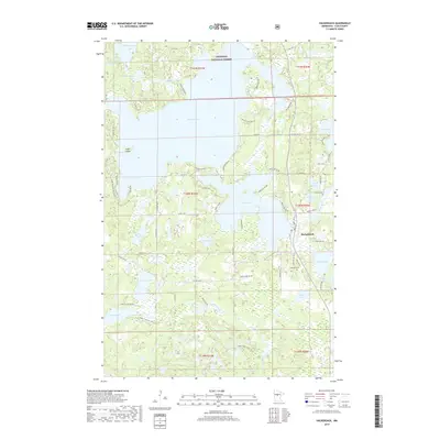
(19)- 1953 Map of Brainerd, 1966 Print
 1953 Brainerd1966 Print · USGSCentral Minnesota's lake country and iron ranges are detailed in the mid-fifties, showing the intersection of industry and wilderness. Researchers can locate specific local landmarks like the Crow Wing County Courthouse or trace the early paths of the Soo Line Railroad and the Cuyuna Range Iron Mines.3 unique versions available
 - 1957 Map of Brainerd
 1957 Brainerd1957 Print · USGSNorth-central Minnesota's lake-rich landscape is captured in the mid-1950s as a crossroads of rail, river, and forest. Genealogists and historians can trace the paths of the Great Northern and Soo Line railroads through hubs like Brainerd, Wadena, and Detroit Lakes.
 - 1958 Map of Brainerd
 1958 Brainerd1958 Print · USGSCentral Minnesota in the late fifties is a landscape of dense lake chains, rail hubs, and sprawling state forests. Genealogists and local historians can trace old property alignments near the Mississippi River or locate family sites in Brainerd, Little Falls, and Detroit Lakes.
 - 1965 Map of Brainerd
 1965 Brainerd1965 Print · USGSNorth-central Minnesota in the mid-fifties presents a complex landscape of sprawling lake systems and established rail corridors. Genealogists and historians can trace the growth of timber towns along the Northern Pacific RR and explore early borders of the White Earth Indian Reservation or Tamarac National Wildlife Refuge.
 - 1970 Map of Hackensack, 1972 Print
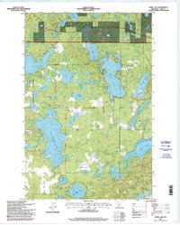
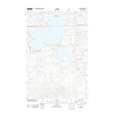
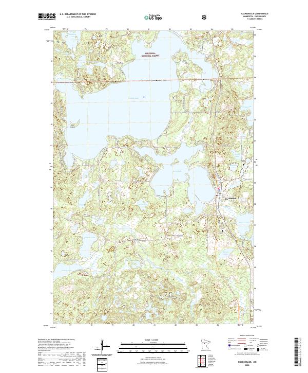
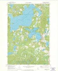 1970 Hackensack1972 Print · USGSHackensack was a thriving Cass County hub in the early 1970s, where the railroad and forest service roads met the shoreline. Genealogists and historians can trace family-named sites like Paquet Lake and Hiram Lake or locate Hillcrest Cem.2 unique versions available
 - 1970 Map of Webb Lake, 1972 Print
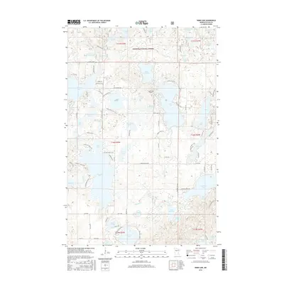
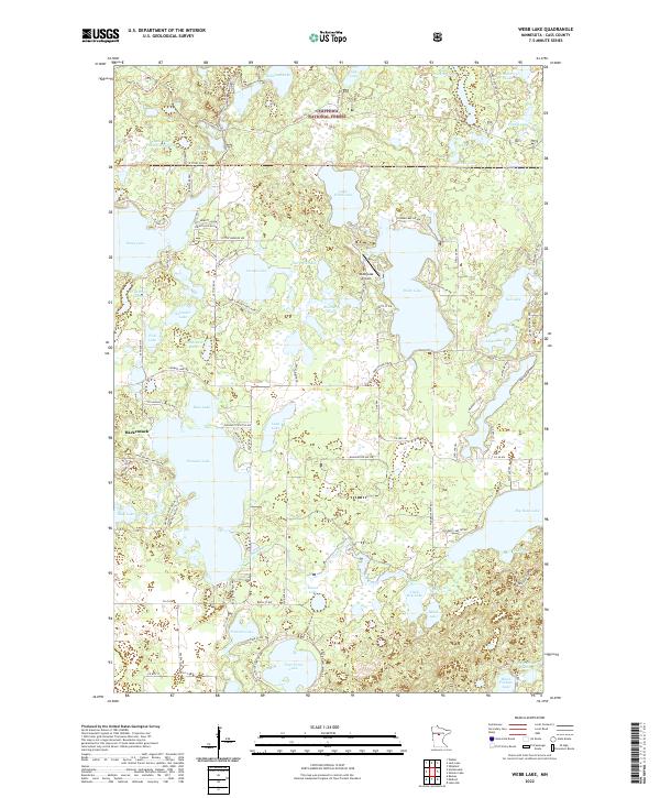
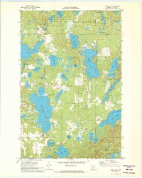 1970 Webb Lake1972 Print · USGSCass County, Minnesota, is shown at the start of the 1970s as a densely forested wilderness of the Chippewa National Forest. Genealogists and researchers can trace old access roads and landmarks like the Radio Tower (KNMT-TV) or the many lakefronts from Webb Lake to Pleasant Lake.2 unique versions available
 - 1976 Map of Pine River, 1994 Print
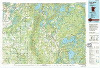 1976 Pine River1994 Print · USGSNorthern Minnesota's lake country is captured here during the mid-seventies, showing the expansion of recreation around Pequot Lakes and Nisswa. Researchers can trace the Burlington Northern rail line and locate forest landmarks within the Paul Bunyan State Forest and Chippewa National Forest.
 - 1996 Map of Hackensack, 1998 Print
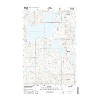
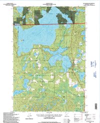 1996 Hackensack1998 Print · USGSThe lake-strewn landscape around Hackensack is captured here in the late twentieth century as public forests and shoreline properties matured. Genealogists and researchers can locate Hillcrest Cem, the local Townhall, and landmarks like the Birch Lake Lookout.
 - 1996 Map of Webb Lake, 1998 Print
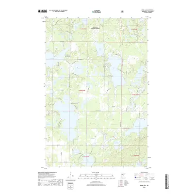
 1996 Webb Lake1998 Print · USGSCass County’s lake country is captured here in the mid-nineties, showing a densely forested landscape managed by the Forest Service. Outdoor enthusiasts and researchers can trace the North Country Trail or locate remote access points on Stony Lake and Pleasant Lake.
 - 2011 Map of Hackensack, 2011 Print
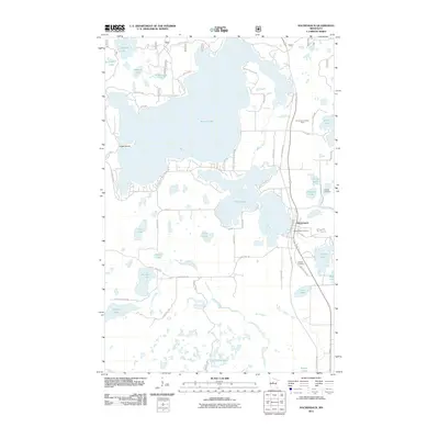 2011 Hackensack2011 Print · USGSCovers Hackensack, including Cass County, United States, and other nearby areas
 - 2011 Map of Webb Lake, 2011 Print
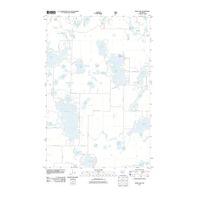 2011 Webb Lake2011 Print · USGSCovers Hackensack, including Cass County, United States, and other nearby areas
 - 2013 Map of Webb Lake, 2013 Print
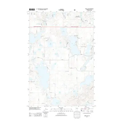 2013 Webb Lake2013 Print · USGSCovers Hackensack, including Cass County, United States, and other nearby areas
 - 2013 Map of Hackensack, 2013 Print
 2013 Hackensack2013 Print · USGSCovers Hackensack, including Cass County, United States, and other nearby areas
 - 2016 Map of Webb Lake, 2016 Print
 2016 Webb Lake2016 Print · USGSCovers Hackensack, including Cass County, United States, and other nearby areas
 - 2016 Map of Hackensack, 2016 Print
 2016 Hackensack2016 Print · USGSCovers Hackensack, including Cass County, United States, and other nearby areas
 - 2019 Map of Webb Lake, 2019 Print
 2019 Webb Lake2019 Print · USGSCovers Hackensack, including Cass County, United States, and other nearby areas
 - 2019 Map of Hackensack, 2019 Print
 2019 Hackensack2019 Print · USGSCovers Hackensack, including Cass County, United States, and other nearby areas
 - 2022 Map of Hackensack, 2022 Print
 2022 Hackensack2022 Print · USGSIn the heart of the northern woods, this area showcases the lake-rich landscape of Cass County during the early 2020s. Researchers can locate family sites at Hillcrest Cem or trace the recreational and transport corridors of the Paul Bunyan State Trail and Boy River.
 - 2022 Map of Webb Lake, 2022 Print
 2022 Webb Lake2022 Print · USGSThe village of Hackensack and the surrounding Cass County lakelands are captured here during a period of modern forest management and recreation. Researchers can trace local landmarks like Webb Lake Airport, the Boy River, and segments of the North Country National Scenic Trail.
End of results
Showing maps 1-19 of 19
Top cities near Hackensack
- Walker historical maps
- Pine River historical maps
- Akeley historical maps
- Backus historical maps
- Chickamaw Beach historical maps
Frequently asked questions
- What are the different types of historical maps available for Hackensack?
- What is the oldest map of Hackensack?
- Where can I purchase historical maps of Hackensack for my home or office?
- Where can I download high-res historical maps of Hackensack?
- Are there historical topographic maps available for Hackensack?
- Is there historical aerial imagery available for Hackensack?
- Where are historical maps of Hackensack sourced from?