2020s Maps of Hitterdal, Minnesota
Explore 2 historic maps of Hitterdal from the 2020s. These maps offer a rare glimpse into what life looked like during the 2020s — showing old roads, neighborhoods, homes, and landmarks that have changed or disappeared over time.
Whether you're researching your family's past, planning a metal detecting trip, or studying how Hitterdal's landscape evolved across the 2020s, these high-resolution maps are a powerful tool for exploring the history of this region.
- Focus on a specific era: All maps on this page are from the 2020s, giving you a focused view of this time period.
- See what’s changed: Compare century-old streets, trails, and buildings to today's modern landscape using overlays and satellite layers.
- Research with precision: Use these maps for genealogy, historical research, land use analysis, or educational projects.
- View, download, or print: Maps are fully viewable online in high resolution, and can be downloaded or printed for your own records.
Start exploring Hitterdal's history through authentic maps from the 2020s. This is your window into the past.
Hitterdal, MN maps
(2)- 2022 Map of Hawley, 2022 Print
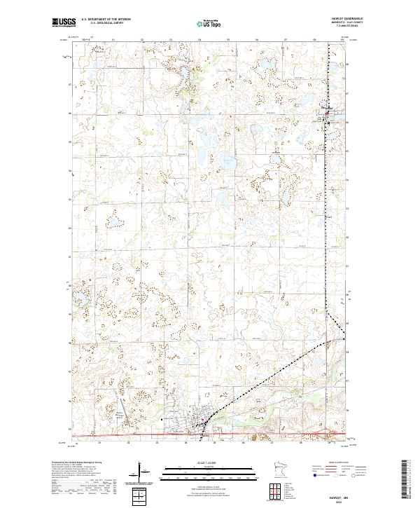 2022 Hawley2022 Print · USGSClay County at the dawn of the 2020s remains a landscape defined by its agricultural roots and river-cut plains. Researchers can trace family history at West Salem Cem or East Salem Cem and study the development of Hawley and Hitterdal.
 - 2022 Map of Dale, 2022 Print
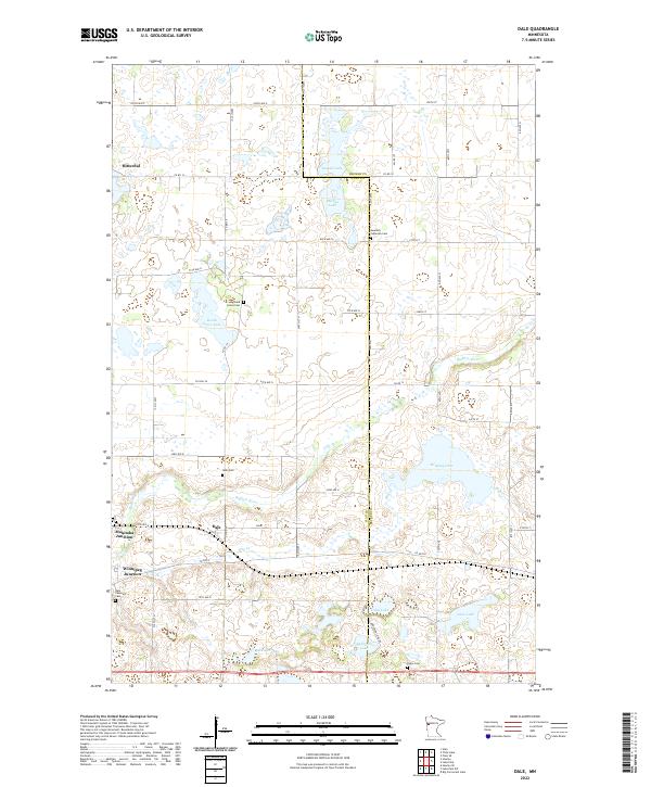 2022 Dale2022 Print · USGSThe Clay and Becker county line comes alive in the early twenty-first century, showing a landscape defined by prairie lakes and historic rail junctions. Genealogists and researchers can locate old burial grounds like Highland Grove Cem and Swedish Lutheran Cem, or trace the waters of Stinking Lake and the Buffalo River.
End of results
Showing maps 1-2 of 2
Top cities near Hitterdal
Frequently asked questions
- What are the different types of historical maps available for Hitterdal?
- What is the oldest map of Hitterdal?
- Where can I purchase historical maps of Hitterdal for my home or office?
- Where can I download high-res historical maps of Hitterdal?
- Are there historical topographic maps available for Hitterdal?
- Is there historical aerial imagery available for Hitterdal?
- Where are historical maps of Hitterdal sourced from?