Old Maps of Gonvick, Minnesota for Academic Research
Study the evolution of Gonvick with 18 high-resolution historic maps. Whether you're teaching, researching, or modeling changes in land use, these maps provide essential visual documentation of urban, environmental, and geographic change.
- Analyze long-term change: Track patterns in development, transportation, and natural features.
- Ideal for environmental or urban studies: Support academic projects with primary historical map data.
- Use in the classroom or lab: Educators and researchers rely on these maps to bring historical context to life.
These maps are a powerful tool for teaching, research, and visualizing how Gonvick has changed over the decades.
Gonvick, MN maps
(18)- 1919 Map of Fosston
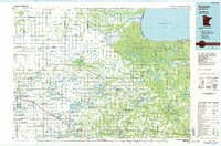
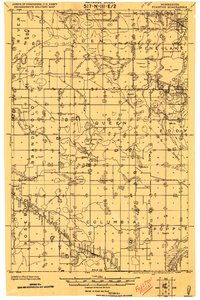 1919 Fosston1919 Print · USGSNorthwest Minnesota at the end of the Great War shows a landscape being actively reshaped by drainage ditches and railroad expansion. Genealogists can trace family footprints in Fosston, Lengby, and Gonvick, or locate rural landmarks like Turtle Lake 30 and Cross Lake.
 - 1943 Map of Bagley
 1943 Bagley1943 Print · USGSClearwater County at the height of the Second World War is shown here as a landscape of timbered tracts and scattered rail towns. Genealogists can trace family roots through numerous unnamed schools and churches near Bagley, Shevlin, and Clearbrook.
 - 1954 Map of Bemidji, 1966 Print
 1954 Bemidji1966 Print · USGSNorthern Minnesota's lake country and timberlands are captured here at a mid-century peak of rail and road expansion. Genealogists and historians can trace family roots through numerous small settlements like Mahnomen, Clearbrook, and Walker, while locating local landmarks such as White Earth Church.4 unique versions available
 - 1957 Map of Bemidji
 1957 Bemidji1957 Print · USGSNorthern Minnesota in the mid-fifties is defined by its massive lake systems and the sprawling timberlands of the Chippewa National Forest. Genealogists and researchers can trace old rail lines like the Great Northern RR and locate settlements such as Moberg, Naytahwaush, and Lake Itasca.
 - 1958 Map of Bemidji
 1958 Bemidji1958 Print · USGSNorthern Minnesota in the late fifties is a vast landscape of tribal lands and timber forests tied together by rail. Genealogists and researchers can trace old rail stops and lakeside communities from Walker to Fosston, or explore the source of the Mississippi at Lake Itasca.
 - 1969 Map of Clearbrook, 1971 Print
 1969 Clearbrook1971 Print · USGSClearbrook and its surrounding townships in the late 1960s show a landscape of rail-connected industry and quiet country cemeteries. Genealogists and local historians can trace family ties at Elim Cem or Augustana Cem and locate old homesteads near the Soo Line tracks.
 - 1969 Map of Gonvick, 1971 Print
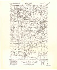
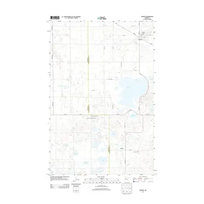
 1969 Gonvick1971 Print · USGSIn the late sixties, this portion of Clearwater County was a landscape of remote lake systems and small rail-side communities like Gonvick. Genealogists and historians can trace the Red Lake Indian Reservation Boundary and locate Bethlehem Ch or the Township Cem.
 - 1985 Map of Fosston
 1985 Fosston1985 Print · USGSNorthern Minnesota's lake country and timberlands are captured here in the mid-eighties, from the shores of Lower Red Lake to the Mississippi Headwaters State Forest. Genealogists and local historians can trace rail-town development along the Burlington Northern line through Fosston, Bagley, and McIntosh.2 unique versions available
 - 2010 Map of Gonvick, 2010 Print
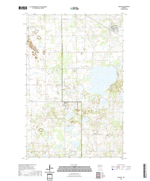
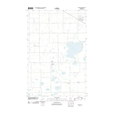 2010 Gonvick2010 Print · USGSCovers Gonvick, including Weme, Polk County, and other nearby areas
 - 2010 Map of Clearbrook, 2010 Print
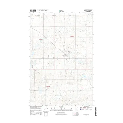
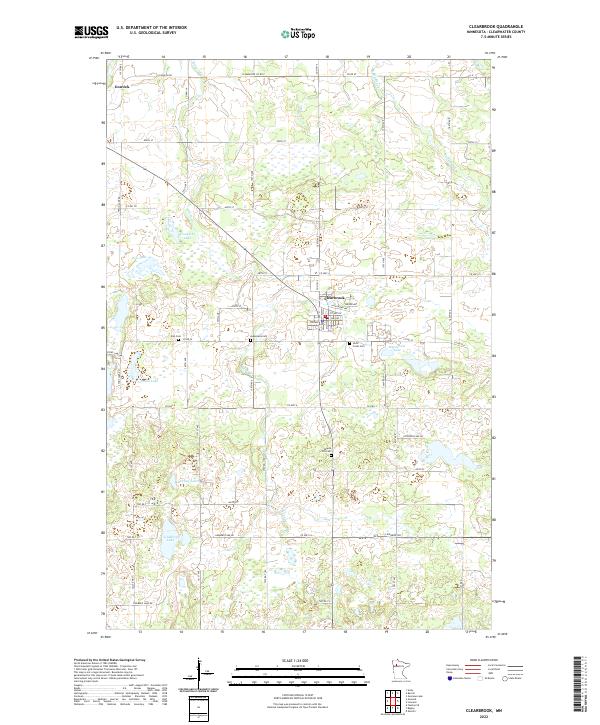
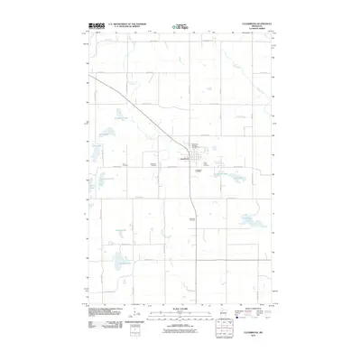 2010 Clearbrook2010 Print · USGSCovers Gonvick, including Clearbrook, Clearwater County, and other nearby areas
 - 2013 Map of Clearbrook, 2013 Print
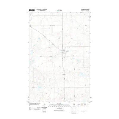 2013 Clearbrook2013 Print · USGSCovers Gonvick, including Clearbrook, Clearwater County, and other nearby areas
 - 2013 Map of Gonvick, 2013 Print
 2013 Gonvick2013 Print · USGSCovers Gonvick, including Weme, Polk County, and other nearby areas
 - 2016 Map of Gonvick, 2016 Print
 2016 Gonvick2016 Print · USGSCovers Gonvick, including Weme, Polk County, and other nearby areas
 - 2016 Map of Clearbrook, 2016 Print
 2016 Clearbrook2016 Print · USGSCovers Gonvick, including Clearbrook, Clearwater County, and other nearby areas
 - 2019 Map of Clearbrook, 2019 Print
 2019 Clearbrook2019 Print · USGSCovers Gonvick, including Clearbrook, Clearwater County, and other nearby areas
 - 2019 Map of Gonvick, 2019 Print
 2019 Gonvick2019 Print · USGSCovers Gonvick, including Weme, Polk County, and other nearby areas
 - 2022 Map of Clearbrook, 2022 Print
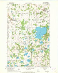
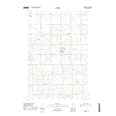
 2022 Clearbrook2022 Print · USGSThe townships of Clearbrook and Gonvick anchor this Clearwater County landscape at the start of the 2020s. Local historians can trace established rural routes and family landmarks like Maple Hill Cem, Klongerbo Lake, and the banks of Silver Cr.
 - 2022 Map of Gonvick, 2022 Print
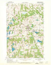
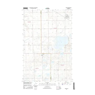
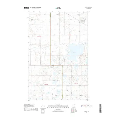
 2022 Gonvick2022 Print · USGSNorthwestern Minnesota in the early twenty-first century reveals a landscape shaped by water and tradition, from the town of Gonvick to the rural hamlet of Weme. Genealogists and historians can trace local roots at Queen Township Cem or Samhold Lutheran Church.
End of results
Showing maps 1-18 of 18
Top cities near Gonvick
- Fosston historical maps
- Bagley historical maps
- Clearbrook historical maps
- Gully historical maps
- Lengby historical maps
- Trail historical maps
Frequently asked questions
- What are the different types of historical maps available for Gonvick?
- What is the oldest map of Gonvick?
- Where can I purchase historical maps of Gonvick for my home or office?
- Where can I download high-res historical maps of Gonvick?
- Are there historical topographic maps available for Gonvick?
- Is there historical aerial imagery available for Gonvick?
- Where are historical maps of Gonvick sourced from?