Old Maps of Pigeon River, Minnesota for Genealogy
Trace your family roots with 10 historic maps of Pigeon River. These high-res maps reveal old neighborhoods, homesites, landmarks, and streets — helping you uncover where your ancestors lived and how the area evolved over time.
- Explore historic neighborhoods: Identify where your relatives may have lived in the 1800s or 1900s.
- Compare maps over time: Trace the changes in streets, buildings, and landmarks for multi-generational research.
- Perfect for genealogy & ancestry research: Used by family historians and researchers to map out lineage and migration.
These maps are an incredible resource for exploring your personal connection to Pigeon River's past.
Pigeon River, MN maps
(10)- 1959 Map of Fort William, 1967 Print
 1959 Fort William1967 Print · USGSThe northern shore of Lake Superior at the close of the 1950s shows a thriving rail and shipping network connecting the twin ports and the remote island wilderness. Trace family roots and local industry in Port Arthur, Vickers Heights, and Isle Royale National Park.3 unique versions available
 - 1959 Map of Grand Portage, 1967 Print
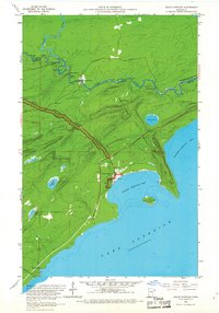 1959 Grand Portage1967 Print · USGSThe North Shore of Lake Superior meets the Canadian border in the late fifties, where the historic Grand Portage trail remains a central landmark. Researchers can locate the early layout of Grand Portage, the Pagan Cem, and landmarks like Mt Rose and Grand Portage Island.2 unique versions available
 - 1968 Map of Fort William
 1968 Fort William1968 Print · USGSThe Canadian Lakehead and Isle Royale appear here in the late sixties, just before Port Arthur and Fort William merged. Genealogists can locate family lands near Rosslyn Village, Silver Mountain, and the Fort William Indian Reserve 52.
 - 1985 Map of Pigeon Point
 1985 Pigeon Point1985 Print · USGSThe Minnesota-Canada borderlands meet Lake Superior in the mid-1980s at this remote northern tip of Cook County. Researchers can trace the international line along the Pigeon River and explore the coastal boundaries of Grand Portage State Forest and Isle Royale National Park.2 unique versions available
 - 1999 Map of Grand Portage, 2003 Print
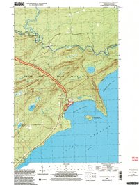 1999 Grand Portage2003 Print · USGSThe northern reaches of the Arrowhead Region come into focus at the turn of the millennium, centered on the ancient fur trade corridor. Local researchers can trace the Grand Portage National Monument and locate landmarks like Pagan Cem or the Lookout Tower near the village of Grand Portage.
 - 2011 Map of Grand Portage OE N, 2011 Print
 2011 Grand Portage OE N2011 Print · USGSThe northern borderlands along the Pigeon River appear here in the early 2000s, marking the quiet interface of two nations. Researchers can trace the international boundary and find specific landmarks like The Tunnel and access points along Poplar Creek Rd.
 - 2013 Map of Grand Portage OE N, 2013 Print
 2013 Grand Portage OE N2013 Print · USGSThe international boundary along the Minnesota and Ontario border is captured here in the early twenty-first century. Genealogists and local historians can trace the precise path of the Pigeon River and identify local access routes like Cowboys Rd and Poplar Creek Rd.
 - 2016 Map of Grand Portage OE N, 2016 Print
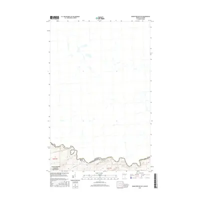 2016 Grand Portage OE N2016 Print · USGSThe northern borderlands of Minnesota and Ontario are defined by the winding course of the Pigeon River in the mid-2010s. Researchers can trace the boundary of the Grand Portage National Monument and locate old transportation routes like Old Hwy 61.
 - 2019 Map of Grand Portage OE N, 2019 Print
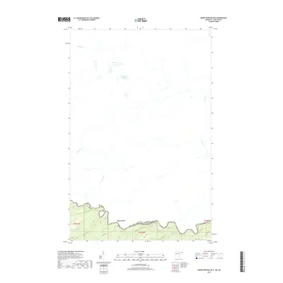 2019 Grand Portage OE N2019 Print · USGSThe international border between Minnesota and Ontario follows the meandering Pigeon River during this 2019 survey. Researchers can trace the path of Old Hwy 61 and locate remote water bodies like Bell Lake and Matson Lake in the roadless northern interior.
 - 2022 Map of Grand Portage OE N, 2022 Print
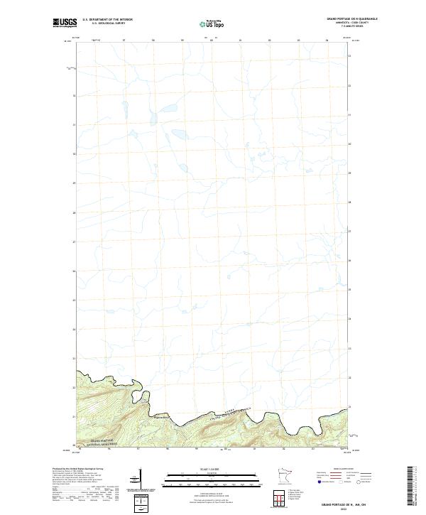 2022 Grand Portage OE N2022 Print · USGSThe international border along the North Shore comes into focus in this recent survey of the Cook County wilderness. Researchers can trace the path of the Pigeon River through the Grand Portage National Monument and locate landmarks like The Tunnel and Horse Rapids.
End of results
Showing maps 1-10 of 10
Top cities near Pigeon River
Frequently asked questions
- What are the different types of historical maps available for Pigeon River?
- What is the oldest map of Pigeon River?
- Where can I purchase historical maps of Pigeon River for my home or office?
- Where can I download high-res historical maps of Pigeon River?
- Are there historical topographic maps available for Pigeon River?
- Is there historical aerial imagery available for Pigeon River?
- Where are historical maps of Pigeon River sourced from?