Old Maps of Burnsville, Minnesota for Genealogy
Trace your family roots with 37 historic maps of Burnsville. These high-res maps reveal old neighborhoods, homesites, landmarks, and streets — helping you uncover where your ancestors lived and how the area evolved over time.
- Explore historic neighborhoods: Identify where your relatives may have lived in the 1800s or 1900s.
- Compare maps over time: Trace the changes in streets, buildings, and landmarks for multi-generational research.
- Perfect for genealogy & ancestry research: Used by family historians and researchers to map out lineage and migration.
These maps are an incredible resource for exploring your personal connection to Burnsville's past.
Burnsville, MN maps
(37)- 1896 Map of Minneapolis
 1896 Minneapolis1896 Print · USGSHennepin County and the Minnesota River valley appear here in the mid-1890s, when the region was a mix of lakeside retreats and rail-side settlements. Genealogists and local historians can locate early landmarks like Edina Mills, the Washburn Home, and the Bloomington Ferry crossing.
 - 1896 Map of St. Paul
 1896 St. Paul1896 Print · USGSSt. Paul and the surrounding river townships are captured in the mid-1890s during a period of massive railroad and urban expansion. Genealogists and historians can trace the early footprints of Mendota, South St. Paul, and St. Anthony Park along with the grounds of Fort Snelling.11 unique versions available
 - 1901 Map of Minneapolis
 1901 Minneapolis1901 Print · USGSThe Twin Cities suburbs begin to take shape in the late nineteenth century as rail lines weave through lake-studded prairies. Trace the origins of local industry and transit at Edina Mills, the Bloomington Ferry, and the St. Louis Park rail junction.8 unique versions available
 - 1951 Map of St. Paul SW, 1953 Print
 1951 St. Paul SW1953 Print · USGSThe Minnesota River valley south of the Twin Cities appears in the early fifties as a landscape of rural townships and river wetlands. Genealogists and local historians can trace the foundations of Richfield and Nicols or locate early landmarks like St Johns Cem and Pilot Knob.3 unique versions available
 - 1951 Map of St. Paul, 1959 Print
 1951 St. Paul1959 Print · USGSThe Twin Cities region during the post-war boom shows the rapid growth of St Paul and Minneapolis toward their southern suburbs. Genealogists and historians can trace numerous rural landmarks like School No 73, Roselawn Cemetery, and the St Johns Cem before suburban sprawl fully arrived.2 unique versions available
 - 1953 Map of Saint Paul, 1964 Print
 1953 Saint Paul1964 Print · USGSThe Twin Cities and the Mississippi River valley are captured here at a mid-century turning point. Trace the early growth of Minneapolis and Saint Paul alongside landmarks like Lake Minnetonka and the St Croix River.4 unique versions available
 - 1954 Map of Bloomington, 1956 Print
 1954 Bloomington1956 Print · USGSThe Minnesota River valley in the mid-fifties is captured at the moment of its suburban expansion south of the Twin Cities. Genealogists and local historians can trace family sites from Savage to Oxboro, locating landmarks like Port Cargill and the Bloomington Ferry Ch.2 unique versions available
 - 1954 Map of Minneapolis, 1959 Print
 1954 Minneapolis1959 Print · USGSThe Twin Cities suburbs were in the midst of a post-war transformation during the early fifties as the urban grid expanded into the surrounding lake country. Researchers can find many lost local landmarks, from the Glen Lake Sanatorium and Flying Cloud Airport to the rural Eden Prairie Ch and Bloomington Cem.
 - 1957 Map of Farmington, 1958 Print
 1957 Farmington1958 Print · USGSDakota County in the late fifties shows a landscape of busy rail junctions and transitioning rural schools. You can trace family roots through sites like Christiania Church or locate vanished landmarks like Southport Landing Field and School No 55.2 unique versions available
 - 1957 Map of Prior Lake, 1958 Print
 1957 Prior Lake1958 Print · USGSScott and Rice Counties appear here in the late 1950s, showing a region defined by its numerous glacial lakes and small farming hamlets. Genealogists and researchers can trace rural school locations and historic churches such as St Catherine Ch, Elko, and several noted sites like School No 52 (Abandoned).2 unique versions available
 - 1959 Map of Saint Paul
 1959 Saint Paul1959 Print · USGSThe Twin Cities and southeastern Minnesota appear here in the late fifties, showing the peak of the rail era and post-war suburban growth. Genealogists can trace family footprints near Lake Minnetonka, the Univ Of Minn Rosemount Research Center, or the growing neighborhoods of Richfield.2 unique versions available
 - 1967 Map of St. Paul SW, 1969 Print
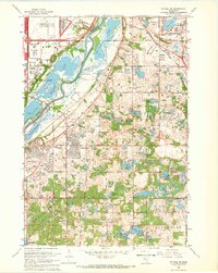 1967 St. Paul SW1969 Print · USGSDakota and Hennepin counties are captured in a moment of suburban transformation during the late sixties. Trace the early development of Bloomington and Burnsville alongside landmarks like Metropolitan Stadium and Fort Snelling National Cemetery.6 unique versions available
 - 1967 Map of Bloomington, 1969 Print
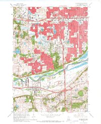 1967 Bloomington1969 Print · USGSThe Twin Cities suburbs experienced a surge of growth during the late sixties as residential developments filled the spaces between historic river towns. Genealogists and local historians can trace the footprint of community institutions like Bloomington Ferry Ch, Port Cargill, and the Minnesota Masonic Home.5 unique versions available
 - 1974 Map of Orchard Lake, 1976 Print
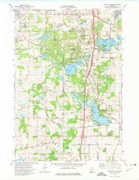 1974 Orchard Lake1976 Print · USGSThe lakeside communities of Dakota County were transforming into established suburbs during the mid-seventies. Genealogists and local researchers can locate family-named landmarks and civic anchors like Orchard Lake Sch, Buck Hill, and Antlers Park.2 unique versions available
 - 1974 Map of Farmington, 1976 Print
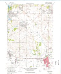 1974 Farmington1976 Print · USGSDakota County was undergoing rapid transformation in the 1970s as suburban residential tracts met the region's long-standing industrial and rail networks. Researchers can trace the layout of early neighborhoods around Parkview School and locate family plots at St Johns Cemetery or St Michaels Cemetery.2 unique versions available
 - 1985 Map of Saint Paul
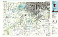 1985 Saint Paul1985 Print · USGSThe Twin Cities metropolitan area and its southern suburbs are captured here in the mid-eighties as the urban landscape expanded toward the Minnesota River. Researchers can trace the layout of the Fort Snelling Military Reservation, find local landmarks like St Benedict Church, and study the rail routes of the Soo Line.2 unique versions available
 - 1997 Map of Bloomington, 1999 Print
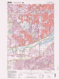 1997 Bloomington1999 Print · USGSThe Twin Cities' southern suburbs were fully established by the late nineties, from the bustling commerce of Bloomington to the residential streets of Savage. Trace local landmarks like the Minnesota Masonic Home, the Southtown Shopping Center, and the industrial docks at Port Cargill.
 - 2010 Map of Bloomington, 2010 Print
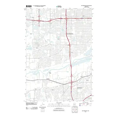 2010 Bloomington2010 Print · USGSThe Twin Cities southern suburbs are captured here just after the first decade of the millennium, showing a landscape of dense residential growth and river-based industry. Researchers can find burial sites like Assumption Church Cemetery and trace the waterfront at Port Cargill.
 - 2010 Map of Farmington, 2010 Print
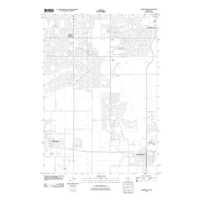 2010 Farmington2010 Print · USGSDakota County's suburban expansion is in full view here during the early 2000s as residential neighborhoods fill the space between established towns. Researchers can trace local heritage at Lebanon Cemetery and Airlake Airport or follow the path of the Vermillion River.
 - 2010 Map of Orchard Lake, 2010 Print
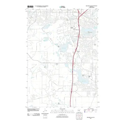 2010 Orchard Lake2010 Print · USGSDakota County, Minnesota, is seen here during its modern era of suburban expansion and lakeside development. You can trace the layout of growing neighborhoods near Orchard Garden or locate specialized landmarks like the Crystal Lake Seaplane Base and Buck Hill.
 - 2010 Map of Saint Paul SW, 2010 Print
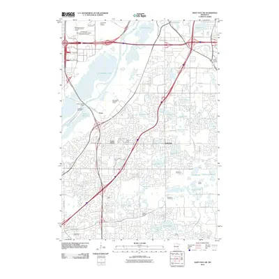 2010 Saint Paul SW2010 Print · USGSThe suburban landscape of the Twin Cities south metro is captured here in the early 2010s. Researchers can trace the development of Eagan and Cedar Grove or locate burial sites at Fort Snelling National Cemetery and Saint Johns Cemetery.
 - 2013 Map of Orchard Lake, 2013 Print
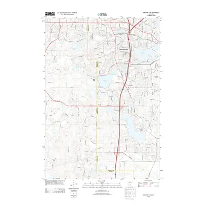 2013 Orchard Lake2013 Print · USGSDakota and Scott Counties are shown here during a period of significant suburban growth in the early 2010s. Researchers can trace the development of established neighborhoods near Orchard Garden or locate recreation sites like Antlers Park and the Buck Hill Ski Area.
 - 2013 Map of Farmington, 2013 Print
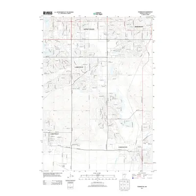 2013 Farmington2013 Print · USGSSuburban expansion across Dakota County is captured here during the early 2010s as the communities of Apple Valley and Lakeville matured. Genealogists can locate several local burial grounds including Saint Joseph Cem, Lakeville Grove Cem, and Corinthian Cem.
 - 2013 Map of Bloomington, 2013 Print
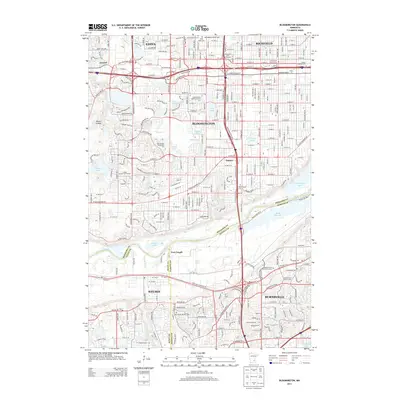 2013 Bloomington2013 Print · USGSThe Twin Cities suburbs of Bloomington and Richfield are shown here in the early twenty-first century as a bustling hub of commerce and community. Local historians can trace established neighborhoods like Oxboro, the industrial docks of Port Cargill, and several historic burial grounds including the Bloomington Cemetery.
 - 2013 Map of Saint Paul SW, 2013 Print
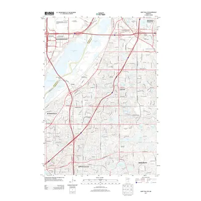 2013 Saint Paul SW2013 Print · USGSThe southern Twin Cities suburbs meet the river bottomlands in this recent survey of the growing corridor between Bloomington and Apple Valley. Genealogists and researchers can locate Ft Snelling National Cemetery, Resurrection Cem, and the historic rail-side vicinity of Nicols.
Showing maps 1-25 of 37
Top cities near Burnsville
- Minneapolis historical maps
- Saint Paul historical maps
- Bloomington historical maps
- Plymouth historical maps
- Eagan historical maps
- Eden Prairie historical maps
See more
Top neighborhoods of Burnsville
Frequently asked questions
- What are the different types of historical maps available for Burnsville?
- What is the oldest map of Burnsville?
- Where can I purchase historical maps of Burnsville for my home or office?
- Where can I download high-res historical maps of Burnsville?
- Are there historical topographic maps available for Burnsville?
- Is there historical aerial imagery available for Burnsville?
- Where are historical maps of Burnsville sourced from?