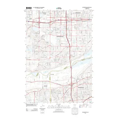
2013 Map of Bloomington
USGS Topo · Published 2013About this map
Bloomington and its neighboring suburbs are documented here during a period of established residential density and industrial infrastructure along the Minnesota River. The map illustrates the convergence of four counties—Hennepin, Dakota, Scott, and Ramsey—at a complex nexus of river navigation and highway development. Of particular interest to genealogists are the numerous burial grounds concentrated in the north, including the Minneapolis Jewish Cemetery, United Hebrew Cemetery, and Assumption Church Cemetery.
Find a feature on this map
138 named features on this map. Tap any name to fly to it.
Don’t see what you’re looking for? This feature index may not catch every label — zoom into the map to look around manually.
Map Details
Editions of this 2013 Bloomington Map
This is the sole edition of this map. No revisions or reprints were ever made.
Other maps of this area

1896 · Minneapolis
USGS Topo · 1:62,500

1896 · St. Paul
USGS Topo · 1:62,500

1901 · Minneapolis
USGS Topo · 1:62,500

1951 · St. Paul West
USGS Topo · 1:24,000

1951 · St. Paul SW
USGS Topo · 1:24,000

1951 · St. Paul
USGS Topo · 1:62,500

1952 · Minneapolis South
USGS Topo · 1:24,000

1953 · Saint Paul
USGS Topo · 1:250,000

1954 · Hopkins
USGS Topo · 1:24,000

1954 · Bloomington
USGS Topo · 1:24,000