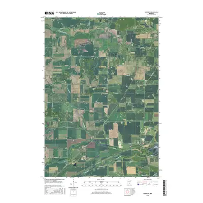
2000s (21st Century) Maps of Waterford Township, Minnesota
Explore 20 historic maps of Waterford Township from the 2000s (21st Century). These maps offer a rare glimpse into what life looked like during the 2000s — showing old roads, neighborhoods, homes, and landmarks that have changed or disappeared over time.
Whether you're researching your family's past, planning a metal detecting trip, or studying how Waterford Township's landscape evolved across the 2000s, these high-resolution maps are a powerful tool for exploring the history of this region.
- Focus on a specific era: All maps on this page are from the 2000s, giving you a focused view of this time period.
- See what’s changed: Compare century-old streets, trails, and buildings to today's modern landscape using overlays and satellite layers.
- Research with precision: Use these maps for genealogy, historical research, land use analysis, or educational projects.
- View, download, or print: Maps are fully viewable online in high resolution, and can be downloaded or printed for your own records.
Start exploring Waterford Township's history through authentic maps from the 2000s. This is your window into the past.
Waterford Township, MN maps
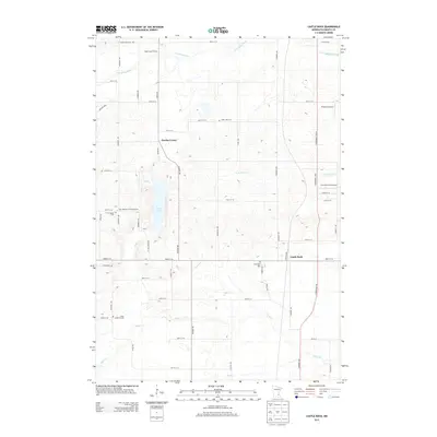
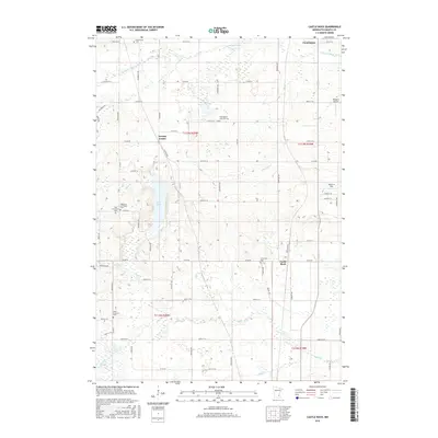
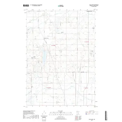
(20)- 2010 Map of Castle Rock, 2010 Print
 2010 Castle Rock2010 Print · USGSCovers Waterford Township, including Lakeville, Farmington, and other nearby areas
 - 2010 Map of Randolph, 2010 Print
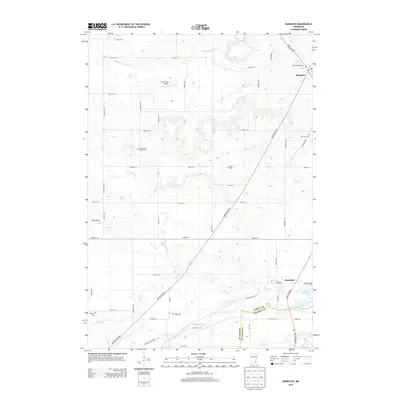
 2010 Randolph2010 Print · USGSCovers Waterford Township, including Farmington, Hampton, and other nearby areas
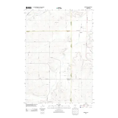
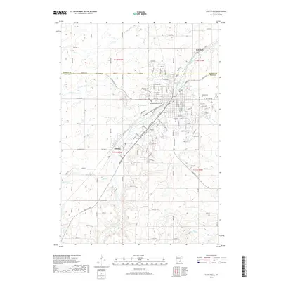
 - 2010 Map of Dennison, 2010 Print
 2010 Dennison2010 Print · USGSCovers Waterford Township, including Stanton, Dennison, and other nearby areas
 - 2010 Map of Northfield, 2010 Print
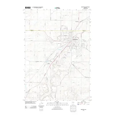
 2010 Northfield2010 Print · USGSCovers Waterford Township, including Northfield, Dundas, and other nearby areas
 - 2013 Map of Dennison, 2013 Print
 2013 Dennison2013 Print · USGSCovers Waterford Township, including Stanton, Dennison, and other nearby areas
 - 2013 Map of Northfield, 2013 Print
 2013 Northfield2013 Print · USGSCovers Waterford Township, including Northfield, Dundas, and other nearby areas
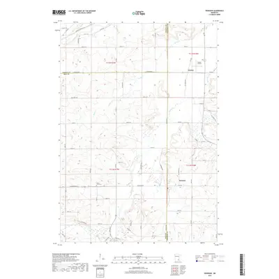
 - 2013 Map of Randolph, 2013 Print
 2013 Randolph2013 Print · USGSCovers Waterford Township, including Farmington, Hampton, and other nearby areas
 - 2013 Map of Castle Rock, 2013 Print
 2013 Castle Rock2013 Print · USGSCovers Waterford Township, including Lakeville, Farmington, and other nearby areas
 - 2016 Map of Castle Rock, 2016 Print
 2016 Castle Rock2016 Print · USGSCovers Waterford Township, including Lakeville, Farmington, and other nearby areas
 - 2016 Map of Randolph, 2016 Print
 2016 Randolph2016 Print · USGSCovers Waterford Township, including Farmington, Hampton, and other nearby areas
 - 2016 Map of Northfield, 2016 Print
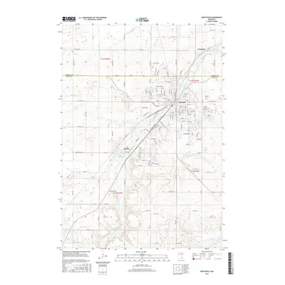 2016 Northfield2016 Print · USGSCovers Waterford Township, including Northfield, Dundas, and other nearby areas
 - 2016 Map of Dennison, 2016 Print
 2016 Dennison2016 Print · USGSCovers Waterford Township, including Stanton, Dennison, and other nearby areas
 - 2019 Map of Castle Rock, 2019 Print
 2019 Castle Rock2019 Print · USGSCovers Waterford Township, including Lakeville, Farmington, and other nearby areas
 - 2019 Map of Northfield, 2019 Print
 2019 Northfield2019 Print · USGSCovers Waterford Township, including Northfield, Dundas, and other nearby areas
 - 2019 Map of Dennison, 2019 Print
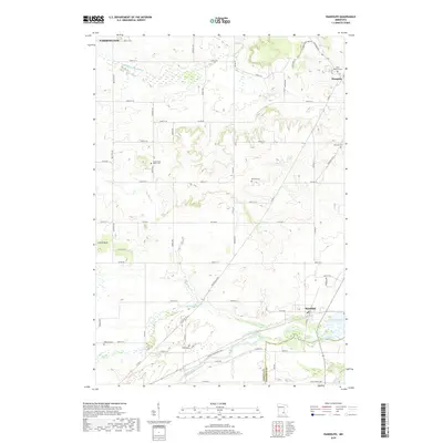
 2019 Dennison2019 Print · USGSCovers Waterford Township, including Stanton, Dennison, and other nearby areas
 - 2019 Map of Randolph, 2019 Print
 2019 Randolph2019 Print · USGSCovers Waterford Township, including Farmington, Hampton, and other nearby areas
 - 2022 Map of Dennison, 2022 Print
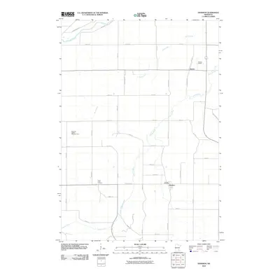
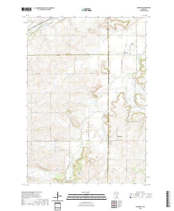 2022 Dennison2022 Print · USGSNear the intersection of Rice, Goodhue, and Dakota counties, this recent survey documents a region defined by its river valleys and aviation history. Researchers can locate the Prairie Creek Cem or trace the pathways of Sciota Trl and Cannon River Trl.
 - 2022 Map of Randolph, 2022 Print
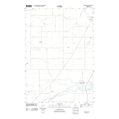
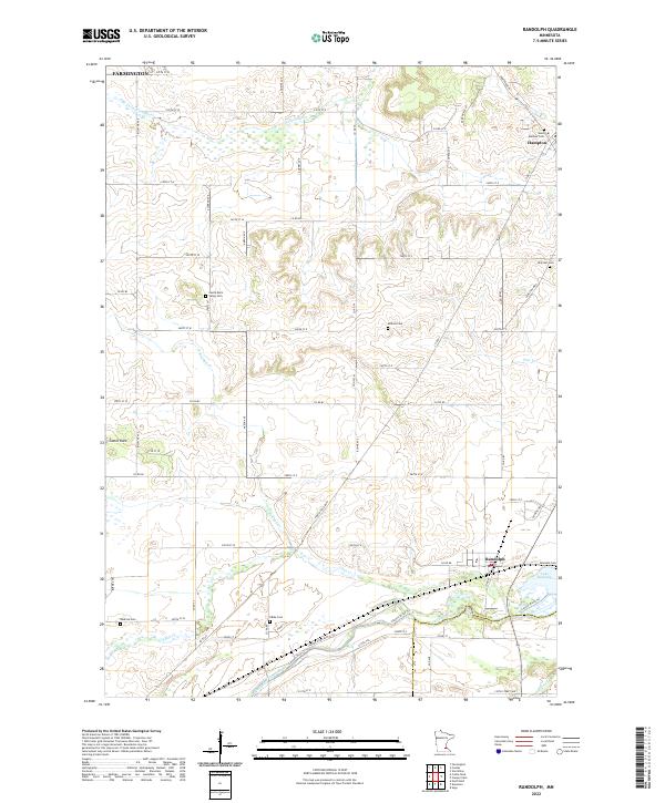 2022 Randolph2022 Print · USGSDakota County south of the Twin Cities is documented here in the early 2020s, showing a landscape defined by the Cannon River and its many tributaries. Genealogists can locate numerous local burial sites like Saint Mathias Cemetery and Kibbe Cemetery near the crossroads of Randolph and Hampton.
 - 2022 Map of Northfield, 2022 Print
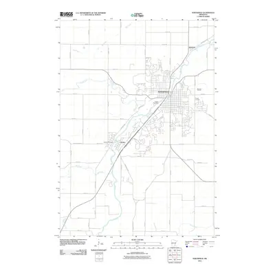
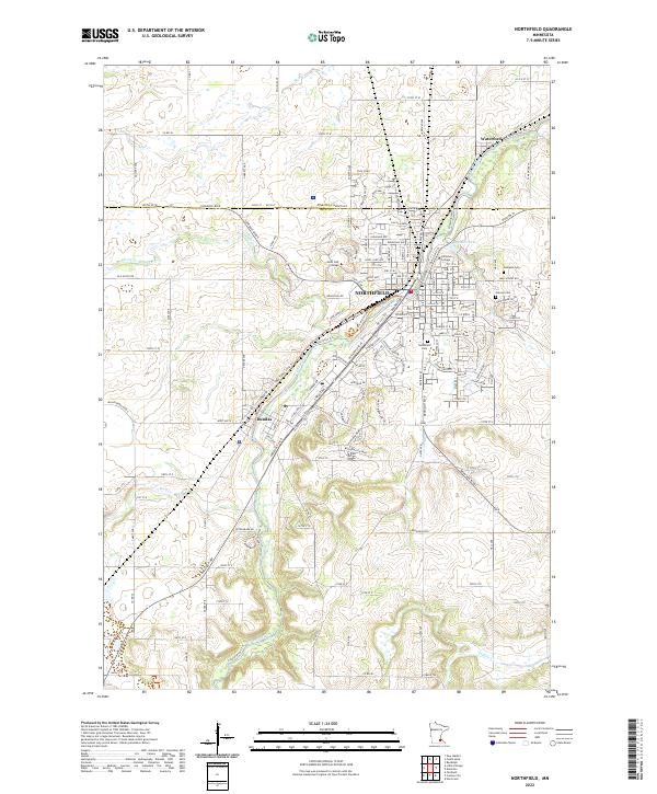 2022 Northfield2022 Print · USGSThe riverfront college towns of the Rice-Dakota county line are shown here as they appeared in the early 2020s. Researchers can map the expanding campuses of Saint Olaf College and Carleton College or locate legacy sites like Oaklawn Cem and Dundas.
 - 2022 Map of Castle Rock, 2022 Print
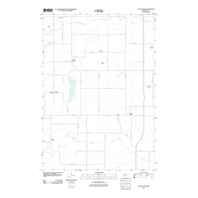
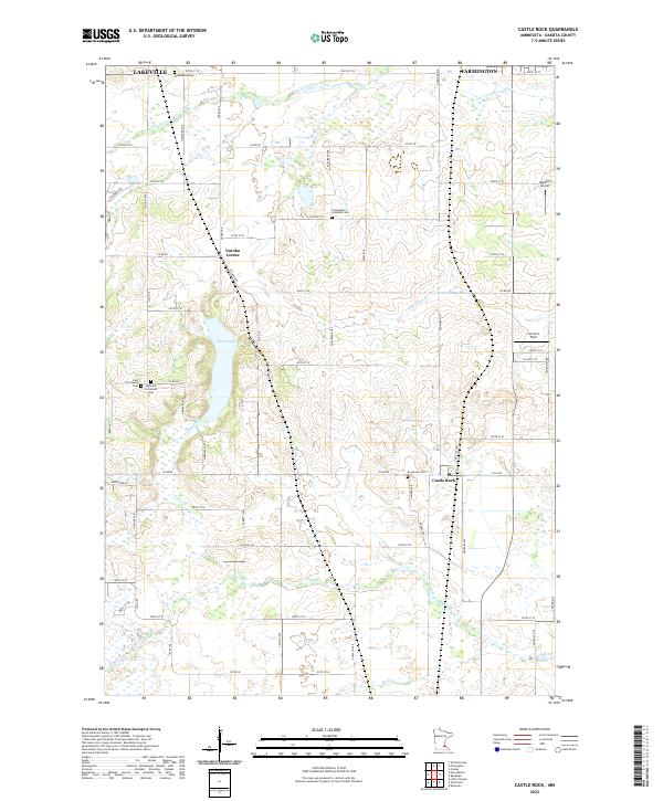 2022 Castle Rock2022 Print · USGSDakota County's rural townships are documented in detail here, showing the agricultural and residential landscape south of the Twin Cities. Genealogists can trace family connections through numerous sites like Greenvale Cem, East Christiania Cem, and the community hub of Eureka Center.
End of results
Showing maps 1-20 of 20
Top cities near Waterford Township
- Burnsville historical maps
- Lakeville historical maps
- Apple Valley historical maps
- Savage historical maps
- Faribault historical maps
- Rosemount historical maps
See more
Top neighborhoods of Waterford Township
Frequently asked questions
- What are the different types of historical maps available for Waterford Township?
- What is the oldest map of Waterford Township?
- Where can I purchase historical maps of Waterford Township for my home or office?
- Where can I download high-res historical maps of Waterford Township?
- Are there historical topographic maps available for Waterford Township?
- Is there historical aerial imagery available for Waterford Township?
- Where are historical maps of Waterford Township sourced from?