2000s (21st Century) Maps of Evansville, Minnesota
Explore 10 historic maps of Evansville from the 2000s (21st Century). These maps offer a rare glimpse into what life looked like during the 2000s — showing old roads, neighborhoods, homes, and landmarks that have changed or disappeared over time.
Whether you're researching your family's past, planning a metal detecting trip, or studying how Evansville's landscape evolved across the 2000s, these high-resolution maps are a powerful tool for exploring the history of this region.
- Focus on a specific era: All maps on this page are from the 2000s, giving you a focused view of this time period.
- See what’s changed: Compare century-old streets, trails, and buildings to today's modern landscape using overlays and satellite layers.
- Research with precision: Use these maps for genealogy, historical research, land use analysis, or educational projects.
- View, download, or print: Maps are fully viewable online in high resolution, and can be downloaded or printed for your own records.
Start exploring Evansville's history through authentic maps from the 2000s. This is your window into the past.
Evansville, MN maps
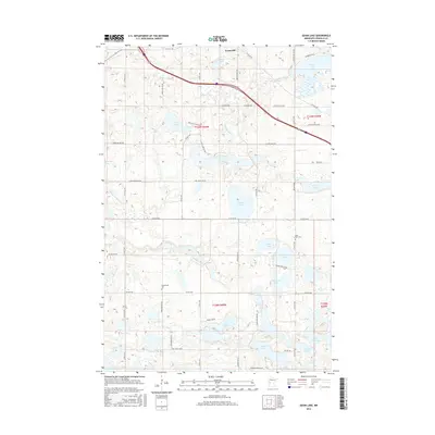
(10)- 2010 Map of Evansville, 2010 Print
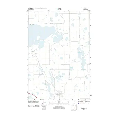 2010 Evansville2010 Print · USGSCovers Evansville, including Melby, Eagle Lake Township, and other nearby areas
 - 2010 Map of Quam Lake, 2010 Print
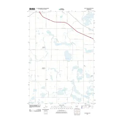 2010 Quam Lake2010 Print · USGSCovers Evansville, including Douglas County, United States, and other nearby areas
 - 2013 Map of Evansville, 2013 Print
 2013 Evansville2013 Print · USGSCovers Evansville, including Melby, Eagle Lake Township, and other nearby areas
 - 2013 Map of Quam Lake, 2013 Print
 2013 Quam Lake2013 Print · USGSCovers Evansville, including Douglas County, United States, and other nearby areas
 - 2016 Map of Quam Lake, 2016 Print
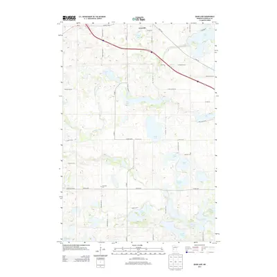
 2016 Quam Lake2016 Print · USGSCovers Evansville, including Douglas County, United States, and other nearby areas
 - 2016 Map of Evansville, 2016 Print
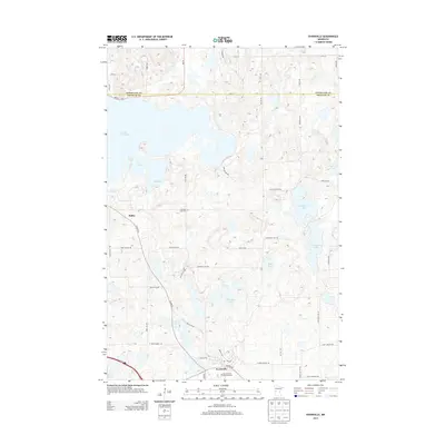
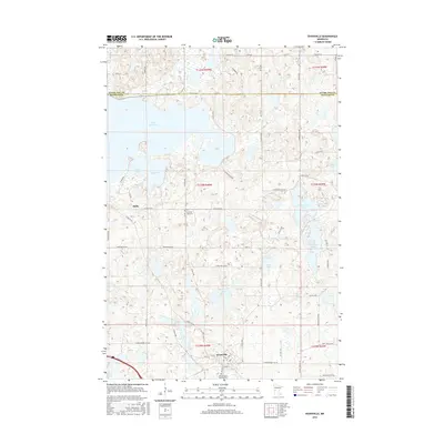 2016 Evansville2016 Print · USGSCovers Evansville, including Melby, Eagle Lake Township, and other nearby areas
 - 2019 Map of Quam Lake, 2019 Print
 2019 Quam Lake2019 Print · USGSCovers Evansville, including Douglas County, United States, and other nearby areas
 - 2019 Map of Evansville, 2019 Print
 2019 Evansville2019 Print · USGSCovers Evansville, including Melby, Eagle Lake Township, and other nearby areas
 - 2022 Map of Quam Lake, 2022 Print
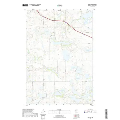
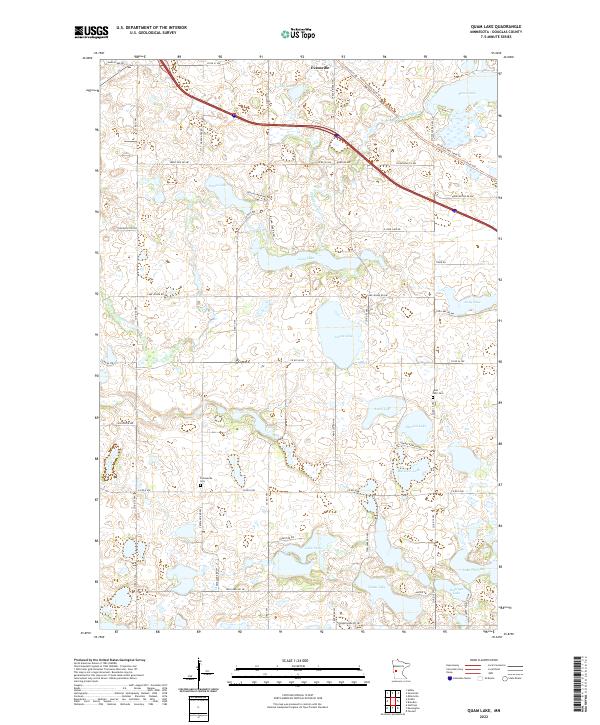 2022 Quam Lake2022 Print · USGSDouglas County’s lake-dotted landscape is captured here in the early 2020s, showing the rural crossroads and glacial basins of west-central Minnesota. Family historians can locate specific landmarks like Saint Petri Cem and Frykesende Cem or trace the Central Lakes State Trl as it passes near Evansville.
 - 2022 Map of Evansville, 2022 Print
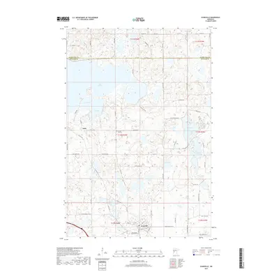
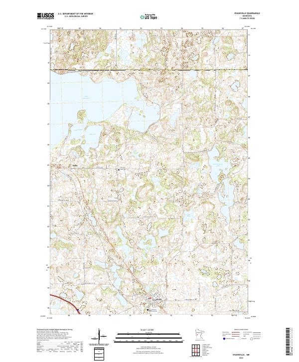 2022 Evansville2022 Print · USGSThe Douglas and Otter Tail county line comes alive in this contemporary record of a lake-studded landscape. Genealogists and local historians can trace family ties at the Christina Lake Cem or follow the old rail grade now used for the Central Lakes State Trail.
End of results
Showing maps 1-10 of 10
Top cities near Evansville
- Holmes City historical maps
- Hoffman historical maps
- Ashby historical maps
- Brandon historical maps
- Barrett historical maps
- Erdahl historical maps
See more
Frequently asked questions
- What are the different types of historical maps available for Evansville?
- What is the oldest map of Evansville?
- Where can I purchase historical maps of Evansville for my home or office?
- Where can I download high-res historical maps of Evansville?
- Are there historical topographic maps available for Evansville?
- Is there historical aerial imagery available for Evansville?
- Where are historical maps of Evansville sourced from?