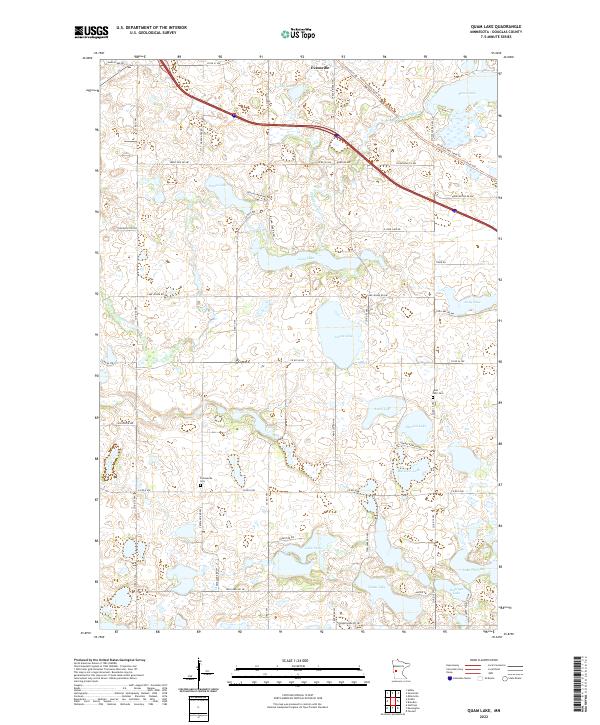
2022 Map of Quam Lake
USGS Topo · Published 2022About this map
Evansville sits at the northern edge of this glacial landscape, where the Chippewa River meanders through a dense collection of prairie potholes and larger basins. This Douglas County terrain is defined by its water, from the centrally located Jennie Lake and Amos Lake to the southern waters of Quam Lake and Lake Venus. The map reveals a land divided by the Public Land Survey System, with a regular grid of rural roads such as Co Rd 56 NW and Fryksande Rd NW navigating around the numerous wetlands.
Find a feature on this map
60 named features on this map. Tap any name to fly to it.
Don’t see what you’re looking for? This feature index may not catch every label — zoom into the map to look around manually.
Map Details
Editions of this 2022 Quam Lake Map
This is the sole edition of this map. No revisions or reprints were ever made.
Historical Maps of Evansville Through Time
16 maps found
1966 Alexandria East
Douglas County, MN
1966 Alexandria West
Douglas County, MN
1966 Lake Mary
Douglas County, MN
1966 Lake Osakis West
Douglas County, MN
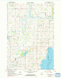
1966 Quam Lake
Douglas County, MN

1969 Lake Miltona East
Douglas County, MN

1969 Lake Miltona West
Douglas County, MN
1969 Rose City
Douglas County, MN
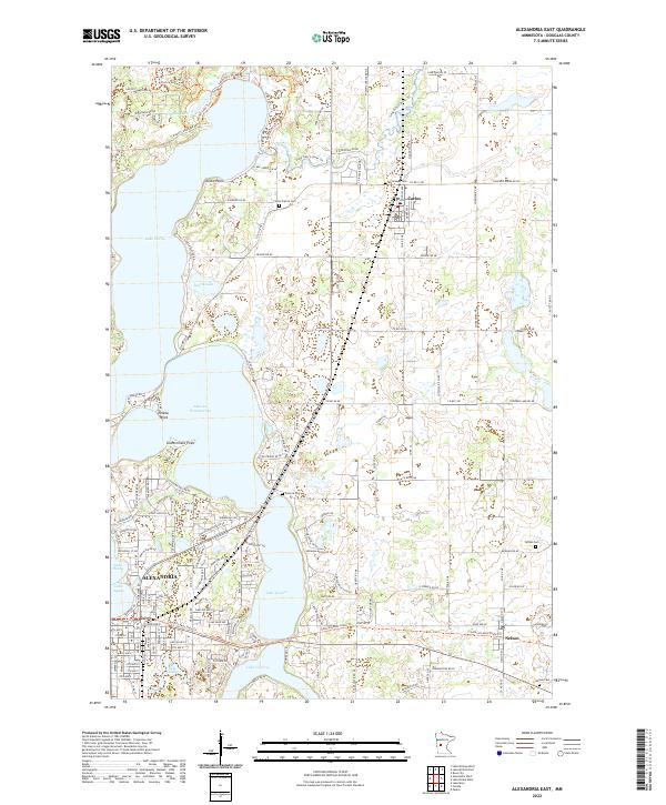
2022 Alexandria East
Douglas County, MN
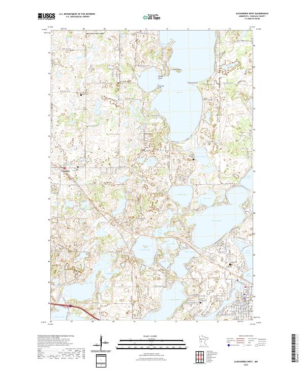
2022 Alexandria West
Douglas County, MN
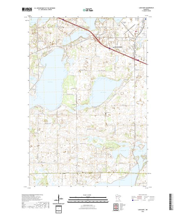
2022 Lake Mary
Douglas County, MN
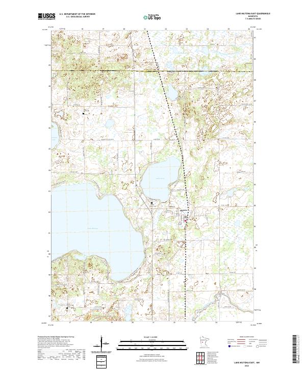
2022 Lake Miltona East
Douglas County, MN
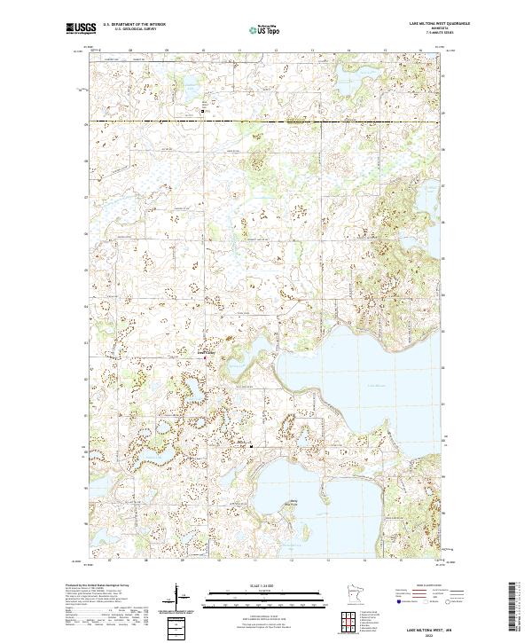
2022 Lake Miltona West
Douglas County, MN
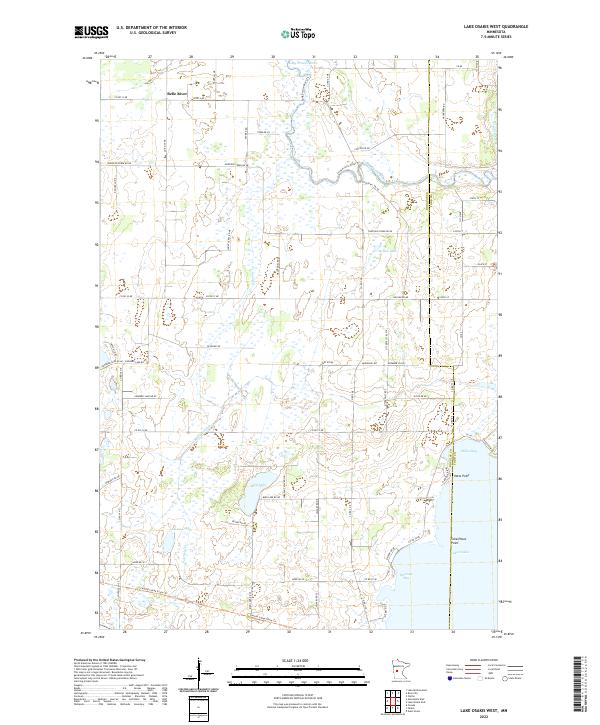
2022 Lake Osakis West
Douglas County, MN
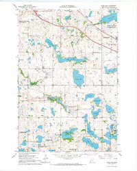
2022 Quam Lake
Douglas County, MN
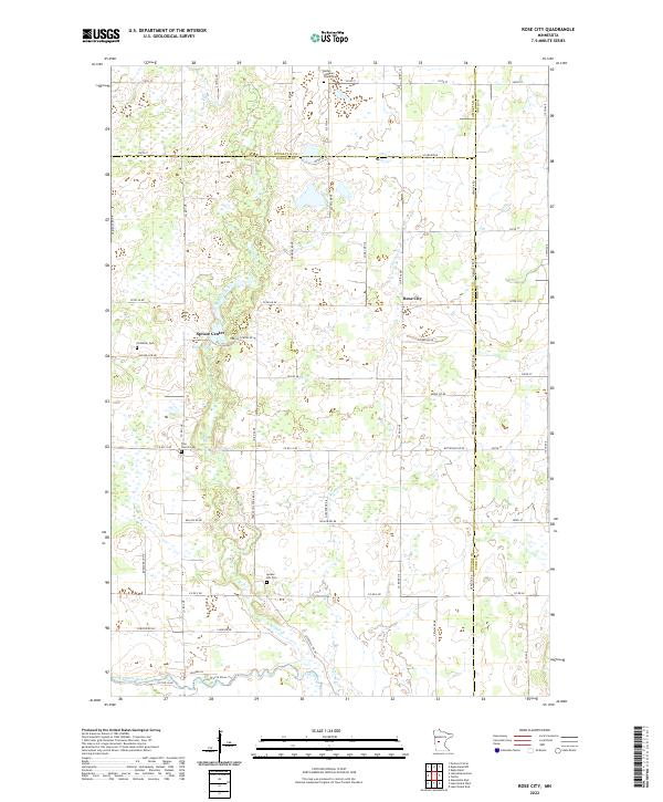
2022 Rose City
Douglas County, MN